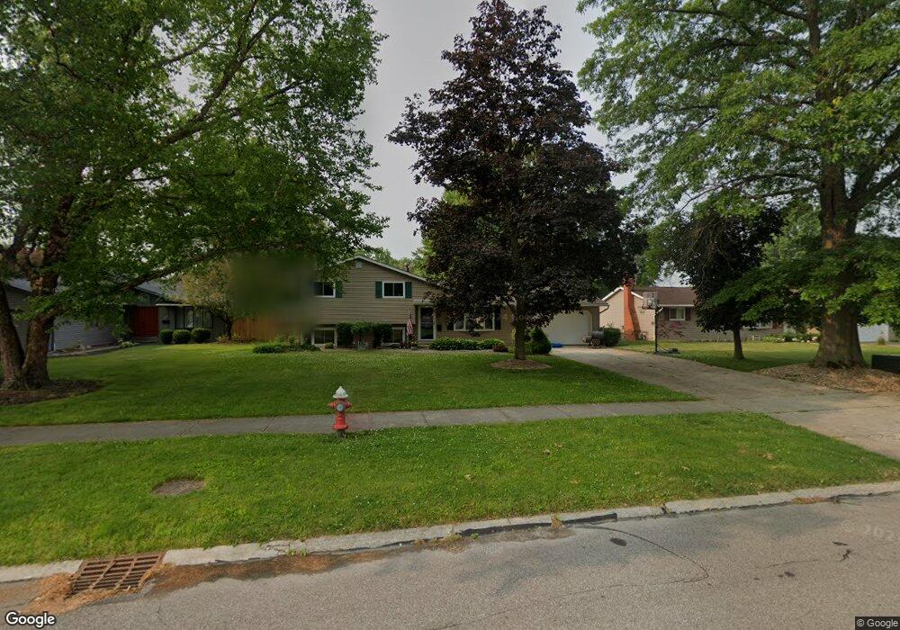
34739 Leslie Ave North Ridgeville, OH 44039
Estimated Value: $254,000 - $285,000
3
Beds
2
Baths
1,776
Sq Ft
$154/Sq Ft
Est. Value
About This Home
This home is located at 34739 Leslie Ave, North Ridgeville, OH 44039 and is currently estimated at $272,653, approximately $153 per square foot. 34739 Leslie Ave is a home located in Lorain County with nearby schools including Liberty Elementary School, North Ridgeville Academic Center, and Ranger High Tech Academy.
Ownership History
Date
Name
Owned For
Owner Type
Purchase Details
Closed on
Oct 30, 2001
Sold by
Kimble Johnny R and Kimble Elizabeth A
Bought by
Funk Samuel M and Funk Dawn M
Current Estimated Value
Home Financials for this Owner
Home Financials are based on the most recent Mortgage that was taken out on this home.
Original Mortgage
$139,806
Outstanding Balance
$54,965
Interest Rate
6.8%
Estimated Equity
$217,688
Create a Home Valuation Report for This Property
The Home Valuation Report is an in-depth analysis detailing your home's value as well as a comparison with similar homes in the area
Home Values in the Area
Average Home Value in this Area
Purchase History
| Date | Buyer | Sale Price | Title Company |
|---|---|---|---|
| Funk Samuel M | $142,000 | Amerititle Company Inc |
Source: Public Records
Mortgage History
| Date | Status | Borrower | Loan Amount |
|---|---|---|---|
| Open | Funk Samuel M | $139,806 |
Source: Public Records
Tax History Compared to Growth
Tax History
| Year | Tax Paid | Tax Assessment Tax Assessment Total Assessment is a certain percentage of the fair market value that is determined by local assessors to be the total taxable value of land and additions on the property. | Land | Improvement |
|---|---|---|---|---|
| 2024 | $4,050 | $79,328 | $18,421 | $60,907 |
| 2023 | $3,538 | $61,212 | $16,874 | $44,338 |
| 2022 | $3,176 | $61,212 | $16,874 | $44,338 |
| 2021 | $3,188 | $61,212 | $16,874 | $44,338 |
| 2020 | $2,793 | $49,610 | $13,680 | $35,930 |
| 2019 | $2,788 | $49,610 | $13,680 | $35,930 |
| 2018 | $2,788 | $49,610 | $13,680 | $35,930 |
| 2017 | $2,738 | $45,090 | $14,030 | $31,060 |
| 2016 | $2,780 | $45,090 | $14,030 | $31,060 |
| 2015 | $2,820 | $45,090 | $14,030 | $31,060 |
| 2014 | $2,971 | $46,250 | $14,390 | $31,860 |
| 2013 | $3,000 | $46,250 | $14,390 | $31,860 |
Source: Public Records
Map
Nearby Homes
- 6180 Olive Ave
- 5962 Cornell Ave
- 5949 Jaycox Rd
- 6111 Cornell Blvd
- 5741 Jaycox Rd
- 33948 Honeysuckle Ln Unit 58
- 5528 Robert Ct
- 5919 Ridgeview Blvd
- 5861 Lee Ave
- V/L Aspen St
- 6538 Pitts Blvd
- 5953 Rosebelle Ave
- 6255 Rosebelle Ave
- 34128 Gina Dr
- 6044 Main Ave
- 34192 Gail Dr
- 35206 Center Ridge Rd
- 6488 Rosebelle Ave
- 5835 Broad Blvd
- 6120 Rhonda Dr
- 34745 Leslie Ave
- 34723 Leslie Ave
- 6098 Denise Dr
- 34751 Leslie Ave
- 34757 Leslie Ave
- 4762 Joseph Ct
- 4756 Joseph Ct
- 34742 Leslie Ave
- 34748 Leslie Ave
- 34730 Leslie Ave
- 5909 Deborah Dr
- 6126 Denise Dr
- 6077 Denise Dr
- 6081 Denise Dr
- 34761 Leslie Ave
- 6073 Denise Dr
- 6095 Denise Dr
- 5893 Deborah Dr
- 4752 Joseph Ct
- 4768 Joseph Ct