3474 S Scales Rd Unit 39 Suwanee, GA 30024
Estimated Value: $2,486,529
4
Beds
1
Bath
9,007
Sq Ft
$276/Sq Ft
Est. Value
About This Home
This home is located at 3474 S Scales Rd Unit 39, Suwanee, GA 30024 and is currently estimated at $2,486,529, approximately $276 per square foot. 3474 S Scales Rd Unit 39 is a home located in Gwinnett County with nearby schools including Parsons Elementary School, Hull Middle School, and Peachtree Ridge High School.
Ownership History
Date
Name
Owned For
Owner Type
Purchase Details
Closed on
Jun 14, 2012
Sold by
The Seventh Day Adventist
Bought by
South Atlantic Conference Asso
Current Estimated Value
Purchase Details
Closed on
Sep 17, 2010
Sold by
Branch Bk & Trust Co
Bought by
Seventh Day Adventist New Heav
Home Financials for this Owner
Home Financials are based on the most recent Mortgage that was taken out on this home.
Original Mortgage
$620,000
Interest Rate
4.52%
Mortgage Type
New Conventional
Purchase Details
Closed on
Feb 5, 2010
Sold by
Unity Of Gwinnett Christ Ctr I
Bought by
Bb & T
Purchase Details
Closed on
Jun 27, 1997
Sold by
Wheeler Edna
Bought by
Unity Of Gwinnett Christ Center Inc
Create a Home Valuation Report for This Property
The Home Valuation Report is an in-depth analysis detailing your home's value as well as a comparison with similar homes in the area
Home Values in the Area
Average Home Value in this Area
Purchase History
| Date | Buyer | Sale Price | Title Company |
|---|---|---|---|
| South Atlantic Conference Asso | -- | -- | |
| Seventh Day Adventist New Heav | $840,000 | -- | |
| Bb & T | $696,479 | -- | |
| Unity Of Gwinnett Christ Center Inc | $225,000 | -- |
Source: Public Records
Mortgage History
| Date | Status | Borrower | Loan Amount |
|---|---|---|---|
| Previous Owner | Seventh Day Adventist New Heav | $620,000 | |
| Closed | Unity Of Gwinnett Christ Center Inc | -- |
Source: Public Records
Tax History Compared to Growth
Tax History
| Year | Tax Paid | Tax Assessment Tax Assessment Total Assessment is a certain percentage of the fair market value that is determined by local assessors to be the total taxable value of land and additions on the property. | Land | Improvement |
|---|---|---|---|---|
| 2025 | $1,284 | $1,648,160 | $1,314,440 | $333,720 |
| 2024 | $1,281 | $1,712,640 | $1,314,440 | $398,200 |
| 2023 | $1,281 | $1,291,360 | $1,005,720 | $285,640 |
| 2022 | $1,226 | $1,291,360 | $1,005,720 | $285,640 |
| 2021 | $1,210 | $1,291,360 | $1,005,720 | $285,640 |
| 2020 | $1,207 | $1,291,360 | $1,005,720 | $285,640 |
| 2019 | $1,205 | $1,291,360 | $1,005,720 | $285,640 |
| 2018 | $1,194 | $576,840 | $335,240 | $241,600 |
| 2016 | $1,214 | $576,840 | $335,240 | $241,600 |
| 2015 | $1,216 | $576,840 | $335,240 | $241,600 |
| 2014 | $1,213 | $576,840 | $335,240 | $241,600 |
Source: Public Records
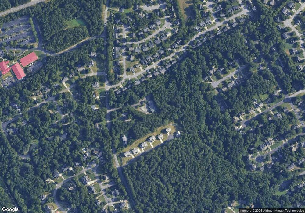
Map
Nearby Homes
- 1552 Catherine Ct
- 1522 Catherine Ct
- 3505 Stately Oaks Ln Unit 3
- 1752 Mitzi Ct
- 3893 Ridge Grove Way
- 3599 Baxley Point Dr
- 3341 Danielle Way
- 1421 Eryn Cir
- 3899 Baxley Ridge Dr
- 1658 Walden Pond Rd
- 3405 Floral Ct
- 1536 Baxley Pine Trace
- 3354 Floral Ct
- 1806 Royal Troon Ct
- 3429 Parsons Ridge Ln
- 3448 Parsons Ridge Ln
- 3357 Rising Fawn Trail
- 1760 Berkshire Hill Dr
- 2017 Parsons Ridge Cir
- 3474 S Scales Rd
- 3474 S Scales Rd Unit 3474
- 1650 Highland Farm Dr Unit 1
- 1660 Highland Farm Dr Unit 1
- 1640 Highland Farm Dr Unit 1
- 1630 Highland Farm Dr Unit 1
- 1670 Highland Farm Dr
- 1620 Highland Farm Dr Unit 1
- 3515 Highland Bluff Dr
- 1610 Highland Farm Dr Unit 1
- 3505 Highland Bluff Dr
- 1665 Highland Farm Dr
- 1655 Highland Farm Dr
- 0 Highland Bluff Dr Unit 8600774
- 0 Highland Bluff Dr Unit 8293208
- 0 Highland Bluff Dr Unit 7130799
- 0 Highland Bluff Dr Unit 8348954
- 0 Highland Bluff Dr Unit 7182267
- 0 Highland Bluff Dr Unit 7482700
- 0 Highland Bluff Dr Unit 7551932