347668 E 860 Rd Chandler, OK 74834
Estimated Value: $103,000 - $276,000
3
Beds
2
Baths
1,688
Sq Ft
$109/Sq Ft
Est. Value
About This Home
This home is located at 347668 E 860 Rd, Chandler, OK 74834 and is currently estimated at $183,797, approximately $108 per square foot. 347668 E 860 Rd is a home with nearby schools including Parkview Elementary School, Stroud Middle School, and Stroud High School.
Ownership History
Date
Name
Owned For
Owner Type
Purchase Details
Closed on
Jun 10, 2025
Sold by
Ball John A
Bought by
John A Ball Revocable Trust and Ball
Current Estimated Value
Purchase Details
Closed on
Feb 13, 2003
Sold by
Cole Robert D
Bought by
Lewis Larry W and Lewis Zora
Purchase Details
Closed on
Mar 5, 2002
Sold by
Cole Robert D
Bought by
Lewis Larry W and Lewis Zora
Purchase Details
Closed on
Oct 21, 1998
Sold by
Mathes Duane
Bought by
Bank Of Ok /Ok Housing
Purchase Details
Closed on
Apr 9, 1985
Sold by
Brantley Larry E and Brantley Mary S
Bought by
Miller Wm David and Miller Dorcas
Create a Home Valuation Report for This Property
The Home Valuation Report is an in-depth analysis detailing your home's value as well as a comparison with similar homes in the area
Home Values in the Area
Average Home Value in this Area
Purchase History
| Date | Buyer | Sale Price | Title Company |
|---|---|---|---|
| John A Ball Revocable Trust | -- | None Listed On Document | |
| Lewis Larry W | $11,500 | -- | |
| Lewis Larry W | $11,000 | -- | |
| Bank Of Ok /Ok Housing | -- | -- | |
| Miller Wm David | $49,000 | -- |
Source: Public Records
Tax History
| Year | Tax Paid | Tax Assessment Tax Assessment Total Assessment is a certain percentage of the fair market value that is determined by local assessors to be the total taxable value of land and additions on the property. | Land | Improvement |
|---|---|---|---|---|
| 2025 | $389 | $4,430 | $1,572 | $2,858 |
| 2024 | $208 | $4,430 | $1,592 | $2,838 |
| 2023 | $208 | $11,163 | $3,405 | $7,758 |
| 2022 | $206 | $4,430 | $951 | $3,479 |
| 2021 | $292 | $4,430 | $951 | $3,479 |
| 2020 | $290 | $4,430 | $951 | $3,479 |
| 2019 | $295 | $4,430 | $951 | $3,479 |
| 2018 | $184 | $3,156 | $951 | $2,205 |
| 2017 | $190 | $3,156 | $951 | $2,205 |
| 2016 | $166 | $3,064 | $796 | $2,268 |
| 2015 | $81 | $2,975 | $717 | $2,258 |
| 2014 | $145 | $2,888 | $777 | $2,111 |
Source: Public Records
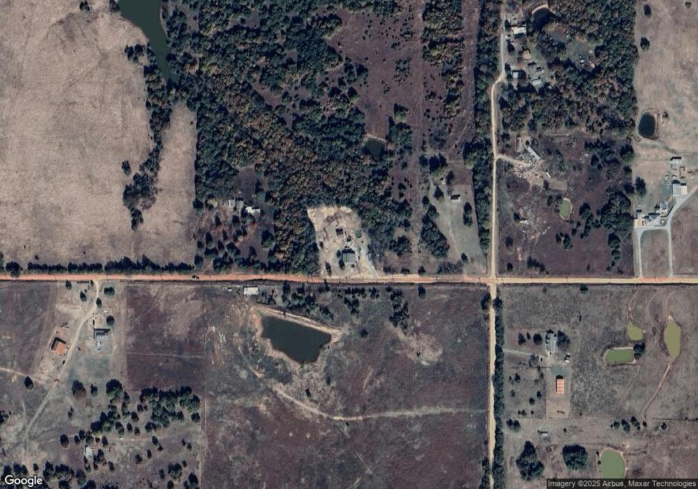
Map
Nearby Homes
- 0 E Rd
- 840879 S 2nd St
- 870756 S 3460 Rd
- 1 E 840 & N 3490
- 840694 N Third St
- 349076 E 840 Rd
- 860253 S 3503 Rd
- 0 E 860 Rd
- 349412 E 840 Rd
- 0 S 3503 Rd
- 870331 N 3460 Rd
- 840151 S 3450 Rd
- 343751 E 870 Rd
- 343713 E 870 Rd
- 870276 Red Stone Cir
- 870194 Red Stone Cir
- 343794 Rock View Trail
- 343768 Rock View Trail
- 343679 Round Rock Dr
- 1415 Santa fe Rd
- 850763 S 3480 Rd
- 0 N 860 Rd Tract 9
- 348126 E 860 Rd
- 0 N 860 Rd Tract 7
- 0 N 860 Rd Tract 6
- 0 N 860 Rd Tract 5
- 0 N 860 Rd Tract 8
- 0 3470 Rd Tract 1 & 2 Unit 1037473
- 0 N 860 Rd Tract 3
- 0 N 860 Rd Tract 4
- 0 N 860 Rd Tract 2
- 0 E 860 Rd Tract 9
- 0 3470 Rd Tract 8
- 0 3470 Rd Tract 7
- 0 3470 Rd Tract 6
- 0 E 860 Rd Tract 5
- 0 3470 Rd Tract 4
- 347622 E 870 Rd
- 348597 E 860 Rd
- 348005 E 850 Rd
Your Personal Tour Guide
Ask me questions while you tour the home.