3477 Baker Rd Westminster, MD 21157
Estimated Value: $320,092 - $430,000
Studio
1
Bath
1,352
Sq Ft
$274/Sq Ft
Est. Value
About This Home
This home is located at 3477 Baker Rd, Westminster, MD 21157 and is currently estimated at $370,523, approximately $274 per square foot. 3477 Baker Rd is a home located in Carroll County with nearby schools including Winfield Elementary School, Mount Airy Middle School, and South Carroll High School.
Ownership History
Date
Name
Owned For
Owner Type
Purchase Details
Closed on
Apr 8, 2008
Sold by
Rice Carroll L
Bought by
Lawson Malinda M
Current Estimated Value
Home Financials for this Owner
Home Financials are based on the most recent Mortgage that was taken out on this home.
Original Mortgage
$233,430
Interest Rate
6.06%
Mortgage Type
Purchase Money Mortgage
Purchase Details
Closed on
May 28, 2003
Sold by
Miller Martha B
Bought by
Rice Carroll L and Rice Shirley B
Create a Home Valuation Report for This Property
The Home Valuation Report is an in-depth analysis detailing your home's value as well as a comparison with similar homes in the area
Purchase History
| Date | Buyer | Sale Price | Title Company |
|---|---|---|---|
| Lawson Malinda M | $240,000 | -- | |
| Rice Carroll L | $117,000 | -- |
Source: Public Records
Mortgage History
| Date | Status | Borrower | Loan Amount |
|---|---|---|---|
| Closed | Lawson Malinda M | $233,430 |
Source: Public Records
Tax History
| Year | Tax Paid | Tax Assessment Tax Assessment Total Assessment is a certain percentage of the fair market value that is determined by local assessors to be the total taxable value of land and additions on the property. | Land | Improvement |
|---|---|---|---|---|
| 2025 | $120 | $279,567 | $0 | $0 |
| 2024 | $2,844 | $266,400 | $180,600 | $85,800 |
| 2023 | $2,878 | $251,667 | $0 | $0 |
| 2022 | $2,713 | $236,933 | $0 | $0 |
| 2021 | $5,262 | $222,200 | $140,600 | $81,600 |
| 2020 | $2,507 | $216,533 | $0 | $0 |
| 2019 | $2,443 | $210,867 | $0 | $0 |
| 2018 | $2,358 | $205,200 | $140,600 | $64,600 |
| 2017 | $2,358 | $205,200 | $0 | $0 |
| 2016 | -- | $205,200 | $0 | $0 |
| 2015 | -- | $207,800 | $0 | $0 |
| 2014 | -- | $207,800 | $0 | $0 |
Source: Public Records
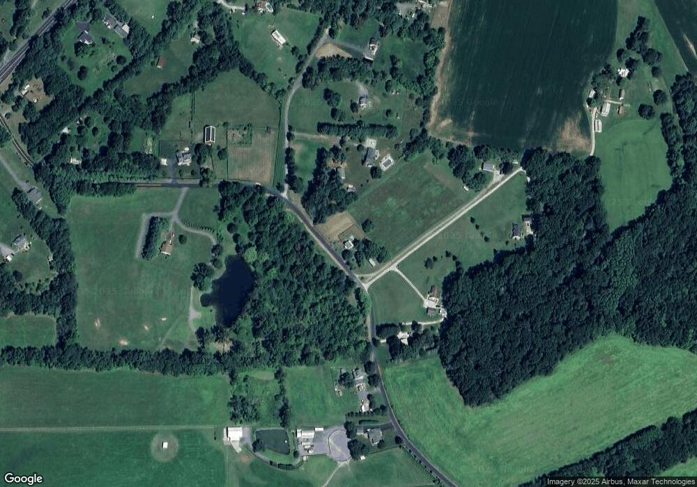
Map
Nearby Homes
- Lot 15 Westview Dr
- Lot 15 Westview Rd
- 3733 Ridge Rd
- 3026 Marston Rd
- 1211 Bloom Rd
- 2900 Marston Rd
- 3011 Glenvue Dr
- 1618 Valley Dr
- 3002 Glenvue Dr
- 3174 Cardinal Dr
- 2108 Dennings Rd
- 4505 Gray Horse Dr
- 970 Oak Tree Rd
- 2613 Liberty Rd
- 0 Bear Branch Rd
- 2314 Sandel Ln
- 4328 Ridge Rd Unit 13
- 4328 Ridge Rd Unit 14
- 3007 Merle Ct
- 0 Bowersox Rd
Your Personal Tour Guide
Ask me questions while you tour the home.