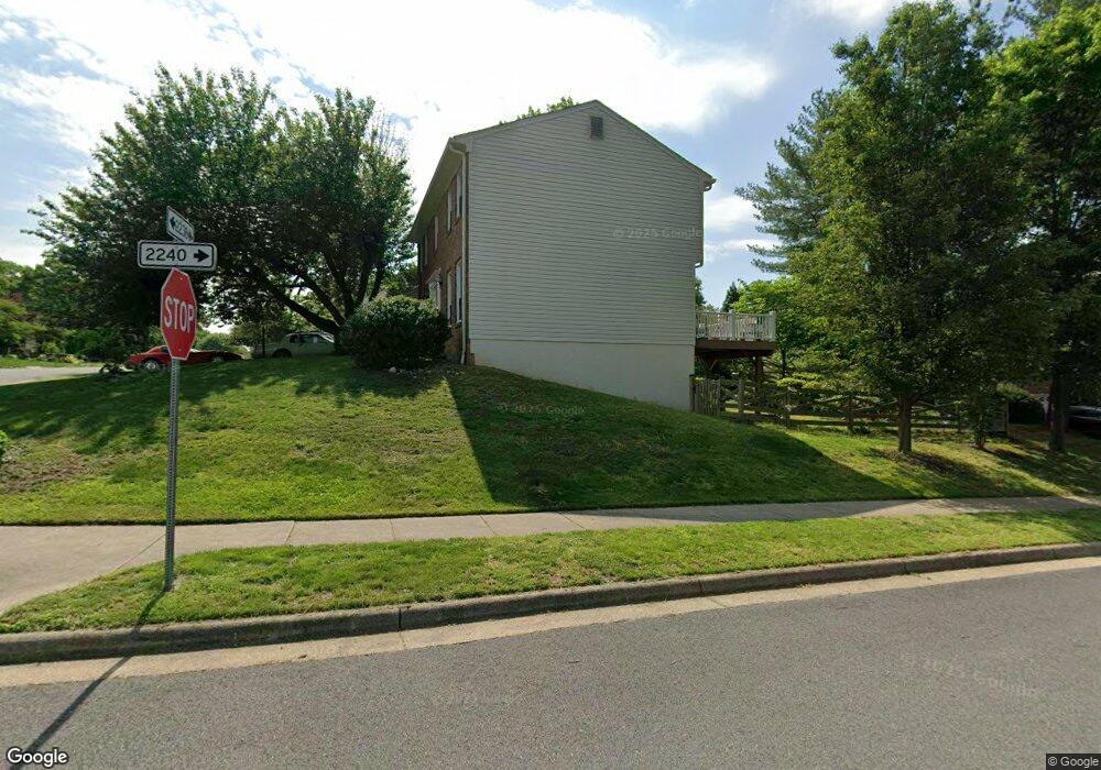
3477 Mount Burnside Way Woodbridge, VA 22192
Estimated Value: $600,869 - $654,000
4
Beds
3
Baths
1,764
Sq Ft
$359/Sq Ft
Est. Value
About This Home
This home is located at 3477 Mount Burnside Way, Woodbridge, VA 22192 and is currently estimated at $632,467, approximately $358 per square foot. 3477 Mount Burnside Way is a home located in Prince William County with nearby schools including Lake Ridge Elementary School, Lake Ridge Middle School, and Woodbridge High School.
Ownership History
Date
Name
Owned For
Owner Type
Purchase Details
Closed on
Apr 16, 1999
Sold by
Condit Roger B
Bought by
Baker Cathy A
Current Estimated Value
Home Financials for this Owner
Home Financials are based on the most recent Mortgage that was taken out on this home.
Original Mortgage
$180,950
Outstanding Balance
$45,743
Interest Rate
7.02%
Estimated Equity
$586,724
Create a Home Valuation Report for This Property
The Home Valuation Report is an in-depth analysis detailing your home's value as well as a comparison with similar homes in the area
Home Values in the Area
Average Home Value in this Area
Purchase History
| Date | Buyer | Sale Price | Title Company |
|---|---|---|---|
| Baker Cathy A | $182,500 | -- |
Source: Public Records
Mortgage History
| Date | Status | Borrower | Loan Amount |
|---|---|---|---|
| Open | Baker Cathy A | $180,950 |
Source: Public Records
Tax History Compared to Growth
Tax History
| Year | Tax Paid | Tax Assessment Tax Assessment Total Assessment is a certain percentage of the fair market value that is determined by local assessors to be the total taxable value of land and additions on the property. | Land | Improvement |
|---|---|---|---|---|
| 2025 | $5,328 | $550,800 | $184,100 | $366,700 |
| 2024 | $5,328 | $535,700 | $178,700 | $357,000 |
| 2023 | $5,199 | $499,700 | $165,400 | $334,300 |
| 2022 | $5,354 | $483,400 | $159,000 | $324,400 |
| 2021 | $5,386 | $440,600 | $144,500 | $296,100 |
| 2020 | $6,318 | $407,600 | $133,700 | $273,900 |
| 2019 | $6,138 | $396,000 | $129,800 | $266,200 |
| 2018 | $4,656 | $385,600 | $130,100 | $255,500 |
| 2017 | $4,729 | $382,800 | $130,100 | $252,700 |
| 2016 | $4,362 | $355,900 | $115,400 | $240,500 |
| 2015 | $4,425 | $358,200 | $115,400 | $242,800 |
| 2014 | $4,425 | $353,500 | $114,000 | $239,500 |
Source: Public Records
Map
Nearby Homes
- 3507 Mount Burnside Way
- 3415 Fort Lyon Dr
- 3409 Caledonia Cir
- 3246 Foothill St
- 12030 Cardamom Dr Unit 12030
- 3226 Foothill St
- 11973 Cardamom Dr
- 11828 Critton Cir
- 11983 San Ysidro Ct
- 12098 Winona Dr
- 11743 Barrows Ln
- 11846 Critton Cir
- 12067 Stallion Ct
- 12309 Ashmont Ct Unit 203
- 12020 Torrey Pine Ct
- 12164 Springwoods Dr
- 12170 Springwoods Dr
- 12183 Old Salem Ct
- 12199 Chaucer Ln
- 3178 Vanderbilt Ct
- 3475 Mount Burnside Way
- 12003 Home Guard Dr
- 3476 Lyon Park Ct
- 12000 Home Guard Dr
- 3473 Mount Burnside Way
- 3476 Mount Burnside Way
- 12002 Home Guard Dr
- 3474 Mount Burnside Way
- 3474 Lyon Park Ct
- 3480 Mount Burnside Way
- 3472 Mount Burnside Way
- 3483 Mount Burnside Way
- 3471 Mount Burnside Way
- 3482 Lyon Park Ct
- 3470 Mount Burnside Way
- 3482 Mount Burnside Way
- 3478 Mount Burnside Way
- 3479 Lyon Park Ct
- 3477 Lyon Park Ct
- 3481 Lyon Park Ct