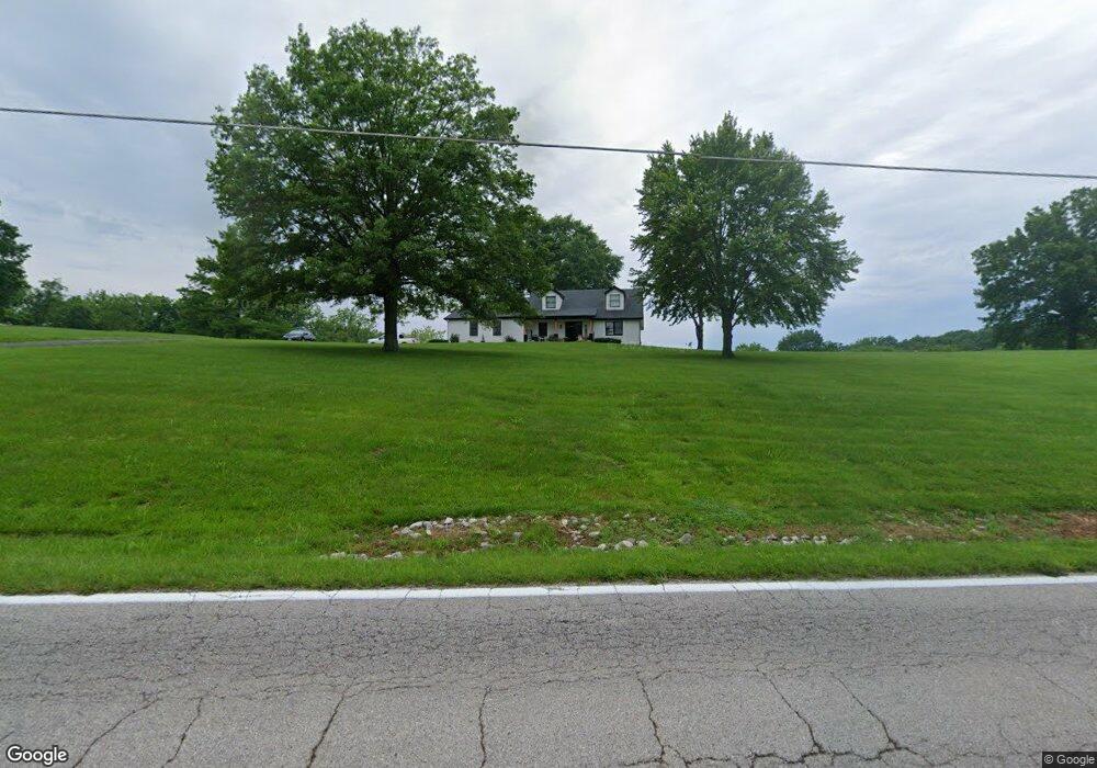
3479 Highway T Labadie, MO 63055
Estimated Value: $370,937 - $475,000
3
Beds
2
Baths
1,879
Sq Ft
$216/Sq Ft
Est. Value
About This Home
This home is located at 3479 Highway T, Labadie, MO 63055 and is currently estimated at $405,734, approximately $215 per square foot. 3479 Highway T is a home located in Franklin County with nearby schools including Washington High School, St. John The Baptist School, and Crosspoint Christian School.
Ownership History
Date
Name
Owned For
Owner Type
Purchase Details
Closed on
Jan 22, 2024
Sold by
Miller Bruce Michael and Miller Barbara L
Bought by
K M Real Estate Trust and Miller
Current Estimated Value
Purchase Details
Closed on
May 15, 2017
Sold by
Malley Marie A O
Bought by
Miller Bruce Michael and Miller Barbara L
Purchase Details
Closed on
Jan 31, 2006
Sold by
Omalley Marie A
Bought by
Omalley Marie A and Omalley Patricia E
Purchase Details
Closed on
Dec 12, 2005
Sold by
Omalley Patricia E
Bought by
Omalley Patricia E and Omalley Colleen M
Purchase Details
Closed on
Dec 1, 2005
Sold by
Omalley Marie A and Omalley John M
Bought by
Omalley Patricia E
Create a Home Valuation Report for This Property
The Home Valuation Report is an in-depth analysis detailing your home's value as well as a comparison with similar homes in the area
Home Values in the Area
Average Home Value in this Area
Purchase History
| Date | Buyer | Sale Price | Title Company |
|---|---|---|---|
| K M Real Estate Trust | -- | None Listed On Document | |
| Miller Bruce Michael | -- | -- | |
| Omalley Marie A | -- | None Available | |
| Omalley Patricia E | -- | None Available | |
| Omalley Patricia E | -- | None Available |
Source: Public Records
Tax History Compared to Growth
Tax History
| Year | Tax Paid | Tax Assessment Tax Assessment Total Assessment is a certain percentage of the fair market value that is determined by local assessors to be the total taxable value of land and additions on the property. | Land | Improvement |
|---|---|---|---|---|
| 2024 | $2,423 | $35,397 | $0 | $0 |
| 2023 | $2,423 | $35,397 | $0 | $0 |
| 2022 | $2,249 | $34,616 | $0 | $0 |
| 2021 | $2,267 | $34,616 | $0 | $0 |
| 2020 | $2,168 | $31,715 | $0 | $0 |
| 2019 | $2,167 | $31,715 | $0 | $0 |
| 2018 | $2,105 | $30,657 | $0 | $0 |
| 2017 | $2,103 | $30,657 | $0 | $0 |
| 2016 | $1,934 | $28,618 | $0 | $0 |
| 2015 | $1,832 | $28,618 | $0 | $0 |
| 2014 | $1,818 | $28,878 | $0 | $0 |
Source: Public Records
Map
Nearby Homes
- 196 Creek Bottom Rd
- Lot 2 Hunters Ridge Dr
- 3773 Dunne Spring Rd
- 0 Hwy Mm Unit MAR25012377
- 3012 Old Highway 100
- 125 Skyview Ln
- 109 Lake Rd
- 110 Lake Rd
- 000 Highway Mm
- 0 St Louis Rock Rd Unit MIS25051513
- 824 Homestead Ln
- 31 El Viento Dr
- 127 Front St
- 9 Corral Ln
- 784 Sunset Maple Dr
- 409 Puetz Ln
- 475 White Oak Ct
- 456 Highway M
- 576 Riverview Dr
- 405 Highway M
- 3467 Highway T
- 3491 Highway T
- 4699 Boles Rd
- 3535 Highway T
- 4690 Boles Rd
- 4665 Boles Rd
- 3540 Highway T
- 4651 Boles Rd
- 3539 Highway T
- 3552 Highway T
- 4648 Boles Rd
- 3563 Highway T
- 3564 Highway T
- 3396 Dunne Spring Rd
- 3583 Highway T
- 4638 Boles Rd
- 3406 Dunne Spring Rd
- 3369 Highway T
- 3403 Dunne Spring Rd
- 3603 Highway T