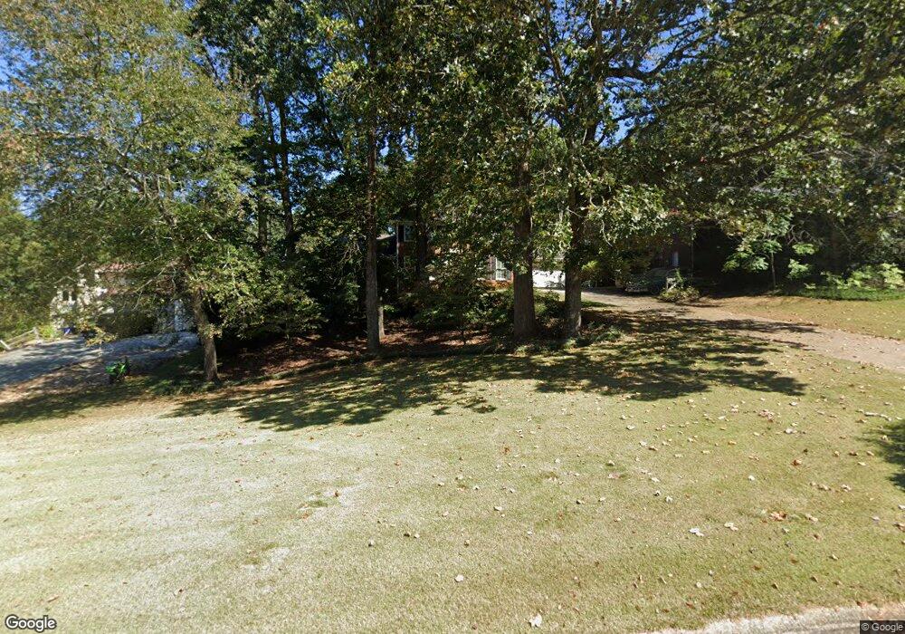
3479 Parsons Ridge Ln Unit 2 Duluth, GA 30097
Estimated Value: $537,954 - $604,000
3
Beds
4
Baths
2,862
Sq Ft
$198/Sq Ft
Est. Value
About This Home
This home is located at 3479 Parsons Ridge Ln Unit 2, Duluth, GA 30097 and is currently estimated at $566,739, approximately $198 per square foot. 3479 Parsons Ridge Ln Unit 2 is a home located in Gwinnett County with nearby schools including Parsons Elementary School, Hull Middle School, and Peachtree Ridge High School.
Ownership History
Date
Name
Owned For
Owner Type
Purchase Details
Closed on
Jul 15, 1997
Sold by
Lass Robert J
Bought by
Raper Elvis D and Raper Judith A
Current Estimated Value
Home Financials for this Owner
Home Financials are based on the most recent Mortgage that was taken out on this home.
Original Mortgage
$100,000
Outstanding Balance
$13,236
Interest Rate
7.61%
Mortgage Type
New Conventional
Estimated Equity
$553,503
Create a Home Valuation Report for This Property
The Home Valuation Report is an in-depth analysis detailing your home's value as well as a comparison with similar homes in the area
Home Values in the Area
Average Home Value in this Area
Purchase History
| Date | Buyer | Sale Price | Title Company |
|---|---|---|---|
| Raper Elvis D | $148,000 | -- |
Source: Public Records
Mortgage History
| Date | Status | Borrower | Loan Amount |
|---|---|---|---|
| Open | Raper Elvis D | $100,000 |
Source: Public Records
Tax History Compared to Growth
Tax History
| Year | Tax Paid | Tax Assessment Tax Assessment Total Assessment is a certain percentage of the fair market value that is determined by local assessors to be the total taxable value of land and additions on the property. | Land | Improvement |
|---|---|---|---|---|
| 2025 | $1,216 | $175,200 | $36,000 | $139,200 |
| 2024 | $1,209 | $175,200 | $36,000 | $139,200 |
| 2023 | $1,209 | $190,040 | $36,000 | $154,040 |
| 2022 | $1,166 | $165,360 | $32,000 | $133,360 |
| 2021 | $1,153 | $130,000 | $30,000 | $100,000 |
| 2020 | $1,150 | $130,000 | $30,000 | $100,000 |
| 2019 | $1,066 | $138,040 | $30,000 | $108,040 |
| 2018 | $1,048 | $120,000 | $24,000 | $96,000 |
| 2016 | $1,086 | $120,000 | $24,000 | $96,000 |
| 2015 | $3,238 | $99,640 | $20,000 | $79,640 |
| 2014 | -- | $66,800 | $16,000 | $50,800 |
Source: Public Records
Map
Nearby Homes
- 3448 Parsons Ridge Ln
- 3429 Parsons Ridge Ln
- 2017 Parsons Ridge Cir
- 2035 Kyrle Ln NW
- 3473 Stoneham Dr
- 2122 Hailston Dr
- 2008 Hailston Dr
- 2011 Old Peachtree Rd NW
- 2070 Hailston Dr
- 2005 Hailston Dr
- 2107 Hailston Dr
- 3505 Stately Oaks Ln Unit 3
- 1752 Mitzi Ct
- 1806 Royal Troon Ct
- 3546 Flycatcher Way
- 2397 Harpers Way
- 2051 Glenview Park Cir
- 3489 Parsons Ridge Ln
- 3469 Parsons Ridge Ln
- 3499 Parsons Ridge Ln Unit 2
- 3510 Kates Way
- 3520 Kates Way
- 3478 Parsons Ridge Ln
- 3488 Parsons Ridge Ln
- 1991 Calvin Dr
- 1981 Calvin Dr
- 3509 Parsons Ridge Ln
- 3509 Parsons Ridge Ln Unit 2
- 3498 Parsons Ridge Ln
- 3458 Parsons Ridge Ln
- 3530 Kates Way Unit 2
- 3519 Parsons Ridge Ln
- 2021 Calvin Ct Unit 2
- 0 Parsons Trail
- 3449 Parsons Ridge Ln
- 2010 Parsons Trail
- 3525 Kates Way Unit 2