Estimated Value: $329,000 - $493,000
4
Beds
2
Baths
--
Sq Ft
217,800
Sq Ft Lot
About This Home
This home is located at 348 100th St, Amery, WI 54001 and is currently estimated at $399,228. 348 100th St is a home located in Polk County with nearby schools including Lien Elementary School, Amery Intermediate School, and Amery Middle School.
Ownership History
Date
Name
Owned For
Owner Type
Purchase Details
Closed on
Oct 14, 2009
Sold by
Federal Home Loan Mortgage Corporation
Bought by
Densow Matthew J
Current Estimated Value
Purchase Details
Closed on
Jul 28, 2009
Sold by
Dravis Michael S
Bought by
Federal Home Loan Mortgage Corporation
Purchase Details
Closed on
Jun 18, 2008
Sold by
Gorres Beau
Bought by
Gorres Beau and Gorres Karen
Purchase Details
Closed on
Jul 21, 2005
Sold by
Brusletten Lorne B
Bought by
Dravis Michael S
Create a Home Valuation Report for This Property
The Home Valuation Report is an in-depth analysis detailing your home's value as well as a comparison with similar homes in the area
Purchase History
| Date | Buyer | Sale Price | Title Company |
|---|---|---|---|
| Densow Matthew J | $133,500 | -- | |
| Federal Home Loan Mortgage Corporation | $181,000 | -- | |
| Gorres Beau | $32,500 | -- | |
| Dravis Michael S | $200,000 | -- |
Source: Public Records
Mortgage History
| Date | Status | Borrower | Loan Amount |
|---|---|---|---|
| Closed | Federal Home Loan Mortgage Corporation | $0 |
Source: Public Records
Tax History
| Year | Tax Paid | Tax Assessment Tax Assessment Total Assessment is a certain percentage of the fair market value that is determined by local assessors to be the total taxable value of land and additions on the property. | Land | Improvement |
|---|---|---|---|---|
| 2025 | $3,573 | $320,900 | $38,100 | $282,800 |
| 2024 | $3,421 | $320,900 | $38,100 | $282,800 |
| 2023 | $2,720 | $154,200 | $24,100 | $130,100 |
| 2022 | $2,508 | $154,200 | $24,100 | $130,100 |
| 2021 | $2,333 | $154,200 | $24,100 | $130,100 |
| 2020 | $2,208 | $154,200 | $24,100 | $130,100 |
| 2019 | $2,214 | $154,200 | $24,100 | $130,100 |
| 2018 | $2,768 | $154,200 | $24,100 | $130,100 |
| 2017 | $2,218 | $136,200 | $22,500 | $113,700 |
| 2016 | $2,335 | $136,200 | $22,500 | $113,700 |
| 2015 | $2,459 | $136,200 | $22,500 | $113,700 |
| 2013 | $2,611 | $136,200 | $22,500 | $113,700 |
| 2012 | $2,554 | $148,400 | $22,500 | $125,900 |
Source: Public Records
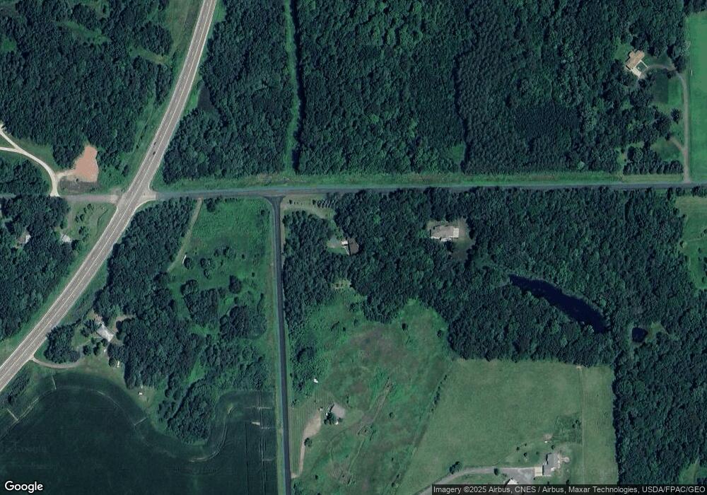
Map
Nearby Homes
- Lot 11 Riverplace Dr
- 305 Greenview Circle Cir
- 303 Greenview Circle Cir
- 956 Sunflower Way
- TBD 125th St
- TBD 15th Ave Lot 3
- xxx Little Falls Cir
- Lot 3 15th Ave
- XXX 15th Ave
- 1178 15th Ave
- 624 Sundance St
- 622 Sundance St
- 750 Sundance St
- 602 Payten St
- 531 Brooks St
- 227 Donatelle St
- 705 Harriman Ave S
- TBD 85th St
- 319 Johnson St
- 330 Hillcrest Dr
Your Personal Tour Guide
Ask me questions while you tour the home.