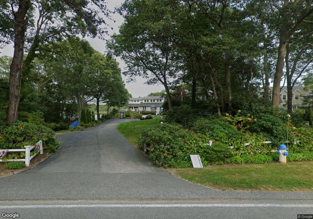
348 Acapesket Rd East Falmouth, MA 02536
Estimated Value: $1,590,000 - $2,399,000
3
Beds
2
Baths
2,201
Sq Ft
$954/Sq Ft
Est. Value
About This Home
This home is located at 348 Acapesket Rd, East Falmouth, MA 02536 and is currently estimated at $2,100,620, approximately $954 per square foot. 348 Acapesket Rd is a home located in Barnstable County with nearby schools including Teaticket Elementary School, Morse Pond School, and Lawrence School.
Ownership History
Date
Name
Owned For
Owner Type
Purchase Details
Closed on
Sep 1, 1995
Sold by
Walsh John D and Walsh Katherine T
Bought by
Adams M Douglas M and Adams Calla Jean
Current Estimated Value
Home Financials for this Owner
Home Financials are based on the most recent Mortgage that was taken out on this home.
Original Mortgage
$203,150
Interest Rate
7.61%
Mortgage Type
Purchase Money Mortgage
Create a Home Valuation Report for This Property
The Home Valuation Report is an in-depth analysis detailing your home's value as well as a comparison with similar homes in the area
Home Values in the Area
Average Home Value in this Area
Purchase History
| Date | Buyer | Sale Price | Title Company |
|---|---|---|---|
| Adams M Douglas M | $330,000 | -- | |
| Adams M Douglas M | $330,000 | -- |
Source: Public Records
Mortgage History
| Date | Status | Borrower | Loan Amount |
|---|---|---|---|
| Closed | Adams M Douglas M | $203,150 | |
| Closed | Adams M Douglas M | $93,850 |
Source: Public Records
Tax History Compared to Growth
Tax History
| Year | Tax Paid | Tax Assessment Tax Assessment Total Assessment is a certain percentage of the fair market value that is determined by local assessors to be the total taxable value of land and additions on the property. | Land | Improvement |
|---|---|---|---|---|
| 2025 | $10,612 | $1,807,800 | $1,040,600 | $767,200 |
| 2024 | $10,355 | $1,648,900 | $946,600 | $702,300 |
| 2023 | $10,785 | $1,558,500 | $946,600 | $611,900 |
| 2022 | $10,481 | $1,302,000 | $784,700 | $517,300 |
| 2021 | $10,280 | $1,209,400 | $750,600 | $458,800 |
| 2020 | $9,802 | $1,141,100 | $682,300 | $458,800 |
| 2019 | $9,680 | $1,130,800 | $682,300 | $448,500 |
| 2018 | $9,538 | $1,109,100 | $682,300 | $426,800 |
| 2017 | $9,309 | $1,091,300 | $682,300 | $409,000 |
| 2016 | $9,134 | $1,091,300 | $682,300 | $409,000 |
| 2015 | $8,938 | $1,091,300 | $682,300 | $409,000 |
| 2014 | $8,614 | $1,056,900 | $682,300 | $374,600 |
Source: Public Records
Map
Nearby Homes
- 58 Striper Ln
- 37 Seashell Ln
- 26 Sanddollar Cir
- LOTA Commodore Ln
- 16 Edgewood Dr
- 52 Bacon Farm Rd
- 21 Kilmer Rd
- 473 Davisville Rd
- 472 & 474 Davisville Rd
- 9 Theroux Dr
- 30 Weatherglass Ln
- 49 Rivers End Rd
- 13 Suncrest Dr
- Lot 2 Pine Grove Ave
- 19 Moniz Way
- 14 Avalon Dr
- 7 Dexter Mill Dr
- 69 Reynolds St
- 71 Seabrook Dr
- 354 Acapesket Rd
- 342 Acapesket Rd
- 338 Acapesket Rd
- 358 Acapesket Rd
- 347 Acapesket Rd
- 353 Acapesket Rd
- 345 Acapesket Rd
- 353 Acapesket Rd
- 330 Acapesket Rd
- 362 Acapesket Rd
- 339 Acapesket Rd
- 359 Acapesket Rd
- 335 Acapesket Rd
- 322 Acapesket Rd
- 365 Acapesket Rd
- 327 Acapesket Rd
- 151 Alcott Rd
- 147 Alcott Rd
- 326 Acapesket Rd
- 374 Acapesket Rd