348 Briar Creek Rd Whitesboro, TX 76273
Estimated Value: $572,070 - $674,000
3
Beds
2
Baths
1,873
Sq Ft
$333/Sq Ft
Est. Value
About This Home
This home is located at 348 Briar Creek Rd, Whitesboro, TX 76273 and is currently estimated at $623,035, approximately $332 per square foot. 348 Briar Creek Rd is a home located in Grayson County with nearby schools including J.W. Hayes Primary School, Whitesboro Intermediate School, and Whitesboro Middle School.
Ownership History
Date
Name
Owned For
Owner Type
Purchase Details
Closed on
Sep 13, 2005
Sold by
Neal Tommy D and Sanders Jon T
Bought by
Mckesson Derek and Mckesson Linda
Current Estimated Value
Purchase Details
Closed on
Sep 29, 2004
Sold by
Cary Corp
Bought by
Neal Tommy D and Sanders Jon T
Home Financials for this Owner
Home Financials are based on the most recent Mortgage that was taken out on this home.
Original Mortgage
$45,000
Interest Rate
5.8%
Mortgage Type
Purchase Money Mortgage
Create a Home Valuation Report for This Property
The Home Valuation Report is an in-depth analysis detailing your home's value as well as a comparison with similar homes in the area
Home Values in the Area
Average Home Value in this Area
Purchase History
| Date | Buyer | Sale Price | Title Company |
|---|---|---|---|
| Mckesson Derek | -- | -- | |
| Neal Tommy D | -- | -- |
Source: Public Records
Mortgage History
| Date | Status | Borrower | Loan Amount |
|---|---|---|---|
| Previous Owner | Neal Tommy D | $45,000 |
Source: Public Records
Tax History Compared to Growth
Tax History
| Year | Tax Paid | Tax Assessment Tax Assessment Total Assessment is a certain percentage of the fair market value that is determined by local assessors to be the total taxable value of land and additions on the property. | Land | Improvement |
|---|---|---|---|---|
| 2025 | $4,004 | $560,788 | $220,931 | $339,857 |
| 2024 | $8,727 | $551,554 | $222,788 | $328,766 |
| 2023 | $3,987 | $501,894 | $0 | $0 |
| 2022 | $4,881 | $401,657 | $0 | $0 |
| 2021 | $6,563 | $365,143 | $106,805 | $258,338 |
| 2020 | $6,417 | $362,136 | $84,370 | $277,766 |
| 2019 | $6,252 | $315,090 | $89,596 | $225,494 |
| 2018 | $6,510 | $321,233 | $89,596 | $231,637 |
| 2017 | $6,302 | $306,661 | $89,596 | $217,065 |
| 2016 | $6,121 | $297,850 | $89,596 | $208,254 |
| 2015 | $0 | $291,595 | $89,596 | $201,999 |
| 2014 | -- | $291,595 | $89,596 | $201,999 |
Source: Public Records
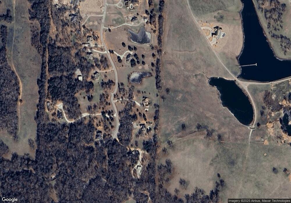
Map
Nearby Homes
- 262 Briar Creek Rd
- 20ac Us Hwy 377
- TBD Bones Chapel Rd
- 790 Bones Chapel Rd
- 2208 Sundance Rd
- 2026 Sundance Rd
- 2151 Sundance Rd
- 2256 Sundance Rd
- 2160 Sundance Rd
- 2244 Sundance Rd
- 2148 Sundance Rd
- 1052 Bones Chapel Rd
- 400 Wild Wood Ln
- 491 Navajo Rd
- 347 Copper Branch Rd
- 649 Anderson Rd
- 3285 Roland Rd
- 205 Anderson Rd
- 790 Ferguson Rd
- 873 Anderson Rd
- 396 Briar Creek Rd
- 275 Briar Creek Rd
- 424 Briar Creek Rd
- 265 Briar Creek Rd
- 10ac Briarcreek Rd
- 211 Briar Creek Rd
- 377 Briar Creek Rd
- 423 Briarcreek Rd
- 134 Briar Creek Rd
- 171 Briar Creek Rd
- 84 Briar Creek Rd
- 141 Briar Creek Rd
- 441 W Acres Rd
- 34 Briar Creek Rd
- 80 Megan Rd
- 37 Briar Creek Rd
- 100 Megan Rd
- 499 West Acres Rd
- 427 W Acres Rd
- 70 Megan Rd