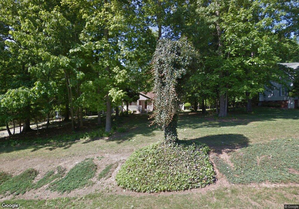
348 Clarkann Dr Thomasville, NC 27360
Estimated Value: $246,000 - $348,000
3
Beds
2
Baths
2,463
Sq Ft
$123/Sq Ft
Est. Value
About This Home
This home is located at 348 Clarkann Dr, Thomasville, NC 27360 and is currently estimated at $301,930, approximately $122 per square foot. 348 Clarkann Dr is a home located in Davidson County with nearby schools including Pilot Elementary School, E. Lawson Brown Middle School, and East Davidson High School.
Ownership History
Date
Name
Owned For
Owner Type
Purchase Details
Closed on
Jul 6, 2016
Sold by
Rowbury Brandon B
Bought by
Rowbury Amber Bacon
Current Estimated Value
Purchase Details
Closed on
Sep 17, 2010
Sold by
Rowbury Amber Bacon
Bought by
Rowbury Brandon B and Rowbury Amber Bacon
Purchase Details
Closed on
Feb 28, 2007
Sold by
Rowbury Brandon B
Bought by
Rowbury Amber Bacon
Purchase Details
Closed on
Feb 11, 2004
Sold by
Rowbury Brandon B
Bought by
Rowbury Brandon B
Purchase Details
Closed on
Dec 21, 2001
Sold by
Edly Walter
Bought by
Rowbury Brandon B
Purchase Details
Closed on
May 15, 2000
Bought by
Edly Walter
Create a Home Valuation Report for This Property
The Home Valuation Report is an in-depth analysis detailing your home's value as well as a comparison with similar homes in the area
Home Values in the Area
Average Home Value in this Area
Purchase History
| Date | Buyer | Sale Price | Title Company |
|---|---|---|---|
| Rowbury Amber Bacon | -- | None Available | |
| Rowbury Brandon B | -- | None Available | |
| Rowbury Amber Bacon | -- | None Available | |
| Rowbury Brandon B | -- | -- | |
| Rowbury Brandon B | $25,000 | -- | |
| Edly Walter | -- | -- |
Source: Public Records
Tax History Compared to Growth
Tax History
| Year | Tax Paid | Tax Assessment Tax Assessment Total Assessment is a certain percentage of the fair market value that is determined by local assessors to be the total taxable value of land and additions on the property. | Land | Improvement |
|---|---|---|---|---|
| 2025 | $1,095 | $165,910 | $0 | $0 |
| 2024 | $1,095 | $165,910 | $0 | $0 |
| 2023 | $1,112 | $165,910 | $0 | $0 |
| 2022 | $1,095 | $165,910 | $0 | $0 |
| 2021 | $1,095 | $165,910 | $0 | $0 |
| 2020 | $1,000 | $151,530 | $0 | $0 |
| 2019 | $1,015 | $151,530 | $0 | $0 |
| 2018 | $985 | $151,530 | $0 | $0 |
| 2017 | $985 | $151,530 | $0 | $0 |
| 2016 | $989 | $151,530 | $0 | $0 |
| 2015 | $989 | $151,530 | $0 | $0 |
| 2014 | $1,047 | $161,110 | $0 | $0 |
Source: Public Records
Map
Nearby Homes
- 590 Walker Blvd
- 452 S Old Greensboro Rd
- 311 Pebble Dr
- 200 Moose Ct
- 2820 Old Greensboro Rd
- 0 Pilgrim Ct
- 253 Myers Dr
- 1000 Stemp Everhart Rd
- 171 Stemp Everhart Rd
- 207 Bethlehem Ave
- 185 Olivia Dr
- 189 Panther Ln
- 189 Panther Ln Unit 94-97
- 1834 Stemp Everhart Rd
- 170 Garrett Ln
- Aisle Plan at Willow Mill
- Robie Plan at Willow Mill
- Darwin Plan at Willow Mill
- ELSTON Plan at Willow Mill
- Taylor Plan at Willow Mill
- 332 Clarkann Dr
- 306 Clarkann Dr
- 380 Clarkann Dr
- 351 Clarkann Dr
- 333 Clarkann Dr
- 278 Clarkann Dr
- 277 Clarkann Dr
- 340 Walker Blvd
- 252 Clarkann Dr
- 364 Walker Blvd
- 314 Walker Blvd
- 390 Walker Blvd
- 288 Walker Blvd
- 251 Clarkann Dr
- 404 Walker Blvd
- 226 Clarkann Dr
- 262 Walker Blvd
- 412 Walker Blvd
- 225 Clarkann Dr
- 234 Walker Blvd
