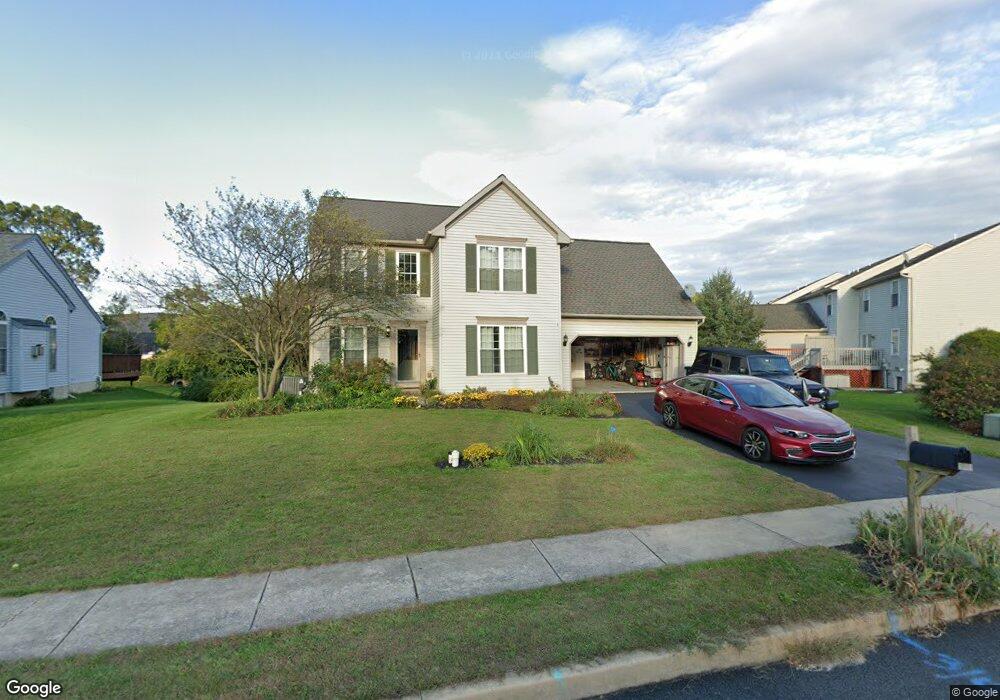
348 Coventry Ln Lititz, PA 17543
Estimated Value: $480,924 - $528,000
4
Beds
3
Baths
1,976
Sq Ft
$253/Sq Ft
Est. Value
About This Home
This home is located at 348 Coventry Ln, Lititz, PA 17543 and is currently estimated at $499,481, approximately $252 per square foot. 348 Coventry Ln is a home located in Lancaster County with nearby schools including Warwick Senior High School, Lititz Christian School, and Linden Hall.
Ownership History
Date
Name
Owned For
Owner Type
Purchase Details
Closed on
Jun 28, 2007
Sold by
Lusk Donald J and Ketchersid Margaret K
Bought by
Marley Shawn and Marley Angela Nichole
Current Estimated Value
Home Financials for this Owner
Home Financials are based on the most recent Mortgage that was taken out on this home.
Original Mortgage
$194,925
Outstanding Balance
$121,133
Interest Rate
6.39%
Mortgage Type
Purchase Money Mortgage
Estimated Equity
$378,348
Purchase Details
Closed on
Nov 11, 1999
Sold by
Desmond George C
Bought by
Durham Charles R
Home Financials for this Owner
Home Financials are based on the most recent Mortgage that was taken out on this home.
Original Mortgage
$117,650
Interest Rate
7.68%
Create a Home Valuation Report for This Property
The Home Valuation Report is an in-depth analysis detailing your home's value as well as a comparison with similar homes in the area
Home Values in the Area
Average Home Value in this Area
Purchase History
| Date | Buyer | Sale Price | Title Company |
|---|---|---|---|
| Marley Shawn | $259,900 | None Available | |
| Durham Charles R | $167,660 | -- |
Source: Public Records
Mortgage History
| Date | Status | Borrower | Loan Amount |
|---|---|---|---|
| Open | Marley Shawn | $194,925 | |
| Previous Owner | Durham Charles R | $117,650 |
Source: Public Records
Tax History
| Year | Tax Paid | Tax Assessment Tax Assessment Total Assessment is a certain percentage of the fair market value that is determined by local assessors to be the total taxable value of land and additions on the property. | Land | Improvement |
|---|---|---|---|---|
| 2025 | $4,989 | $254,500 | $79,800 | $174,700 |
| 2024 | $4,989 | $254,500 | $79,800 | $174,700 |
| 2023 | $4,966 | $254,500 | $79,800 | $174,700 |
| 2022 | $4,966 | $254,500 | $79,800 | $174,700 |
| 2021 | $4,966 | $254,500 | $79,800 | $174,700 |
| 2020 | $4,966 | $254,500 | $79,800 | $174,700 |
| 2019 | $4,966 | $254,500 | $79,800 | $174,700 |
| 2018 | $4,052 | $254,500 | $79,800 | $174,700 |
| 2017 | $4,387 | $177,200 | $43,600 | $133,600 |
| 2016 | $4,387 | $177,200 | $43,600 | $133,600 |
| 2015 | $710 | $177,200 | $43,600 | $133,600 |
| 2014 | $3,378 | $177,200 | $43,600 | $133,600 |
Source: Public Records
Map
Nearby Homes
- 138 Moorland Ct
- 1500 Furnace Hills Pike
- 35 Duffield Dr
- 3 Amberly Way
- 320 N New St
- 117 Laurie Ln
- 16 E Market St
- 33 Tara Dr
- LOT 14 Thaton Rd
- LOT 12 Thaton Rd
- 146 N Cedar St
- 902 Perry Rd
- 24 E Orange St
- 133 S Spruce St
- 3 Balsam Ln
- 1 Brookwood Dr
- 147 S Spruce St
- 112 Chukar Ct
- 213 N Locust St
- 232 W Side Dr
- 350 Coventry Ln
- 103 Moorland Ct
- 105 Moorland Ct
- 101 Moorland Ct
- 107 Moorland Ct
- 109 Moorland Ct
- 111 Moorland Ct
- 352 Coventry Ln
- 113 Moorland Ct
- 115 Moorland Ct
- 117 Moorland Ct
- 119 Moorland Ct
- 347 Coventry Ln
- 349 Coventry Ln
- 345 Coventry Ln
- 351 Coventry Ln
- 123 Moorland Ct
- 100 Moorland Ct
- 102 Moorland Ct
- 104 Moorland Ct
Your Personal Tour Guide
Ask me questions while you tour the home.