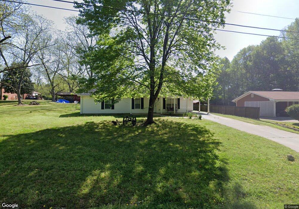
348 Groveland Dr Winder, GA 30680
Estimated Value: $257,000 - $307,000
--
Bed
2
Baths
1,419
Sq Ft
$198/Sq Ft
Est. Value
About This Home
This home is located at 348 Groveland Dr, Winder, GA 30680 and is currently estimated at $281,552, approximately $198 per square foot. 348 Groveland Dr is a home located in Barrow County with nearby schools including County Line Elementary School, Russell Middle School, and Winder-Barrow High School.
Ownership History
Date
Name
Owned For
Owner Type
Purchase Details
Closed on
Jun 11, 2021
Sold by
Norton Evelyn P
Bought by
Norton Travis E and Norton Evelyn P
Current Estimated Value
Purchase Details
Closed on
Mar 31, 2006
Sold by
Norton Evelyn And
Bought by
Price Norton Evelyn
Purchase Details
Closed on
Aug 28, 1997
Sold by
Norton Evelyn
Bought by
Norton Evelyn And
Create a Home Valuation Report for This Property
The Home Valuation Report is an in-depth analysis detailing your home's value as well as a comparison with similar homes in the area
Home Values in the Area
Average Home Value in this Area
Purchase History
| Date | Buyer | Sale Price | Title Company |
|---|---|---|---|
| Norton Travis E | -- | -- | |
| Price Norton Evelyn | -- | -- | |
| Norton Evelyn And | -- | -- |
Source: Public Records
Tax History Compared to Growth
Tax History
| Year | Tax Paid | Tax Assessment Tax Assessment Total Assessment is a certain percentage of the fair market value that is determined by local assessors to be the total taxable value of land and additions on the property. | Land | Improvement |
|---|---|---|---|---|
| 2024 | $1,659 | $66,570 | $14,800 | $51,770 |
| 2023 | $1,657 | $66,850 | $14,800 | $52,050 |
| 2022 | $1,684 | $58,487 | $14,800 | $43,687 |
| 2021 | $1,546 | $50,699 | $10,000 | $40,699 |
| 2020 | $1,327 | $43,229 | $10,000 | $33,229 |
| 2019 | $1,156 | $36,830 | $8,000 | $28,830 |
| 2018 | $1,138 | $36,830 | $8,000 | $28,830 |
| 2017 | $938 | $32,206 | $8,000 | $24,206 |
| 2016 | $998 | $32,496 | $8,000 | $24,496 |
| 2015 | $1,020 | $33,078 | $8,000 | $25,078 |
| 2014 | $985 | $30,857 | $5,488 | $25,369 |
| 2013 | -- | $29,647 | $5,488 | $24,159 |
Source: Public Records
Map
Nearby Homes
- 24 Caison Dr
- 121 Cannondale Dr
- 72 Garrison Dr
- 66 Garrison Dr
- 62 Garrison Dr
- 49 Cannondale Dr
- 74 Cannon Trace Dr
- 108 Cannondale Dr
- 16 Garrison Dr
- 98 Cannondale Dr
- 244 Bayou Ln Unit 1
- 110 Mears St
- 281 Hillside Dr
- 221 Highway 211 NW
- 128 Mcneal Rd
- The Cary A Plan at Lake Shore
- The Marion A Plan at Lake Shore
- 0 Bill Rutledge Rd Unit 10591503
- 0 Bill Rutledge Rd Unit 7630436
- 2051 Massey Ln
- 350 Groveland Dr
- 326 Cedar Creek Rd
- 321 Nutcracker Ln Unit 14-15
- 321 Nutcracker Ln
- 327 Nutcracker Ln
- 0 Nutcracker Ln Unit 8524685
- 0 Nutcracker Ln Unit 7008785
- 0 Nutcracker Ln Unit 7093461
- 0 Nutcracker Ln Unit 7244607
- 356 Cedar Creek Rd
- 404 Castle Ave
- 327 Cedar Creek Rd
- 335 Cedar Creek Rd
- 303 Cedar Creek Rd
- 303 Cedar Creek Rd Unit 7 H
- 303 Cedar Creek Rd Unit 7E
- 303 Cedar Creek Rd Unit 7 H
- 303 Cedar Creek Rd Unit 7E
- 303 Cedar Creek Rd Unit G
- 341 Cedar Creek Rd