348 Ladd Bridge Rd Gillham, AR 71841
Estimated Value: $408,000
--
Bed
1
Bath
1,064
Sq Ft
$383/Sq Ft
Est. Value
About This Home
This home is located at 348 Ladd Bridge Rd, Gillham, AR 71841 and is currently estimated at $408,000, approximately $383 per square foot. 348 Ladd Bridge Rd is a home located in Sevier County with nearby schools including Dequeen High School.
Ownership History
Date
Name
Owned For
Owner Type
Purchase Details
Closed on
Oct 1, 2015
Bought by
Wilkerson Fred and Wilkerson Shannon
Current Estimated Value
Purchase Details
Closed on
Jul 23, 2012
Bought by
Wilkerson Fred and Wilkerson Shannon
Purchase Details
Closed on
May 12, 2011
Bought by
Wilkerson Fred and Wilkerson Shannon
Purchase Details
Closed on
Sep 23, 2010
Bought by
Ayers Jennifer Michelle
Purchase Details
Closed on
Mar 26, 1999
Bought by
Ayers Joe Dwayne
Purchase Details
Closed on
Jan 31, 1992
Bought by
Ayers Joe Dewayne
Create a Home Valuation Report for This Property
The Home Valuation Report is an in-depth analysis detailing your home's value as well as a comparison with similar homes in the area
Home Values in the Area
Average Home Value in this Area
Purchase History
| Date | Buyer | Sale Price | Title Company |
|---|---|---|---|
| Wilkerson Fred | -- | -- | |
| Wilkerson Fred | -- | -- | |
| Wilkerson Fred | $140,000 | -- | |
| Ayers Jennifer Michelle | -- | -- | |
| Ayers Joe Dwayne | -- | -- | |
| Ayers Joe Dewayne | $41,000 | -- |
Source: Public Records
Tax History Compared to Growth
Tax History
| Year | Tax Paid | Tax Assessment Tax Assessment Total Assessment is a certain percentage of the fair market value that is determined by local assessors to be the total taxable value of land and additions on the property. | Land | Improvement |
|---|---|---|---|---|
| 2024 | $6,174 | $168,950 | $4,590 | $164,360 |
| 2023 | $5,724 | $161,930 | $4,590 | $157,340 |
| 2022 | $5,432 | $161,930 | $4,590 | $157,340 |
| 2021 | $5,038 | $161,930 | $4,590 | $157,340 |
| 2020 | $4,643 | $161,930 | $4,590 | $157,340 |
| 2019 | $4,251 | $116,860 | $3,490 | $113,370 |
| 2018 | $4,276 | $116,860 | $3,490 | $113,370 |
| 2017 | $3,693 | $116,860 | $3,490 | $113,370 |
| 2016 | $1,020 | $39,590 | $3,490 | $36,100 |
| 2015 | $1,020 | $39,590 | $3,490 | $36,100 |
| 2014 | $1,020 | $5,820 | $2,890 | $2,930 |
Source: Public Records
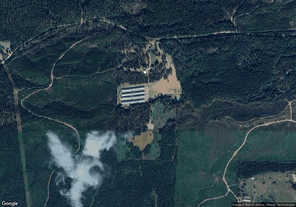
Map
Nearby Homes
- 352 King Rd
- TBD King Rd
- 539 Clinton Crossing
- TBD U S Highway 71
- To be determind U S Highway 71
- 103 Front St
- TBD Valley Rd
- 0 Polk County Road 472
- 125 Wommack Ln
- 315 Stemple Rd
- 301 Story Creek Rd
- 337 Bellah Mine Rd
- 886 Polk Road 1
- 114 Mountain View Dr
- 135 Rolling Oaks Dr
- 156 N Rolling Oaks Dr
- 101 Rolling Oaks Dr
- 102 Rolling Oaks Dr
- 150 N Rolling Oaks Dr
- 151 N Rolling Oaks Dr