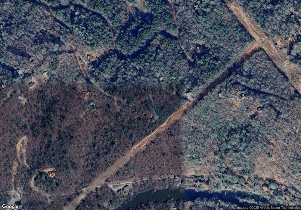
348 Lookout Trail Mineral Bluff, GA 30559
Estimated Value: $850,000 - $1,172,000
--
Bed
3
Baths
2,690
Sq Ft
$357/Sq Ft
Est. Value
About This Home
This home is located at 348 Lookout Trail, Mineral Bluff, GA 30559 and is currently estimated at $960,500, approximately $357 per square foot. 348 Lookout Trail is a home with nearby schools including Fannin County High School.
Ownership History
Date
Name
Owned For
Owner Type
Purchase Details
Closed on
Sep 25, 2015
Sold by
Darby Rose
Bought by
Scheel J Matthew and Scheel Pamela C
Current Estimated Value
Home Financials for this Owner
Home Financials are based on the most recent Mortgage that was taken out on this home.
Original Mortgage
$380,000
Outstanding Balance
$277,065
Interest Rate
3.88%
Mortgage Type
New Conventional
Estimated Equity
$683,435
Purchase Details
Closed on
Nov 25, 2014
Sold by
Community & Southern Bank
Bought by
Darby Rose
Purchase Details
Closed on
Aug 5, 2014
Sold by
Gordon Suzanne S
Bought by
Community & Southern Bank
Purchase Details
Closed on
Dec 30, 2003
Sold by
Brooks Clayton E
Bought by
Gordon Suzanne
Purchase Details
Closed on
Jul 13, 2000
Sold by
Owen Kenneth A and Owen Eta
Bought by
Brooks Clayton E
Purchase Details
Closed on
Apr 28, 2000
Sold by
Owen Kenneth A and Owen Eta
Bought by
Brooks Clayton E
Create a Home Valuation Report for This Property
The Home Valuation Report is an in-depth analysis detailing your home's value as well as a comparison with similar homes in the area
Home Values in the Area
Average Home Value in this Area
Purchase History
| Date | Buyer | Sale Price | Title Company |
|---|---|---|---|
| Scheel J Matthew | $475,000 | -- | |
| Darby Rose | $24,000 | -- | |
| Community & Southern Bank | $24,000 | -- | |
| Gordon Suzanne | $58,000 | -- | |
| Brooks Clayton E | -- | -- | |
| Brooks Clayton E | $48,500 | -- |
Source: Public Records
Mortgage History
| Date | Status | Borrower | Loan Amount |
|---|---|---|---|
| Open | Scheel J Matthew | $380,000 |
Source: Public Records
Tax History Compared to Growth
Tax History
| Year | Tax Paid | Tax Assessment Tax Assessment Total Assessment is a certain percentage of the fair market value that is determined by local assessors to be the total taxable value of land and additions on the property. | Land | Improvement |
|---|---|---|---|---|
| 2024 | $2,775 | $302,802 | $28,907 | $273,895 |
| 2023 | $2,503 | $245,490 | $28,907 | $216,583 |
| 2022 | $2,022 | $198,335 | $28,907 | $169,428 |
| 2021 | $1,760 | $125,551 | $28,907 | $96,644 |
| 2020 | $1,789 | $125,551 | $28,907 | $96,644 |
| 2019 | $1,824 | $125,551 | $28,907 | $96,644 |
| 2018 | $1,934 | $125,551 | $28,907 | $96,644 |
| 2017 | $2,222 | $125,551 | $28,907 | $96,644 |
| 2016 | $1,824 | $107,368 | $19,488 | $87,880 |
| 2015 | $170 | $12,180 | $12,180 | $0 |
| 2014 | $217 | $12,180 | $12,180 | $0 |
| 2013 | -- | $12,180 | $12,180 | $0 |
Source: Public Records
Map
Nearby Homes
- 100 Arrow Way
- 35 Indian Trace
- 737 Wildwood Trail
- 0 Lower Toccoa Hills Rd Unit 10557000
- 0 Lower Toccoa Hills Rd Unit 7609254
- 406 Hope Dr
- LOT 41 Tomahawk Ln Unit 41
- LOT 41 Tomahawk Ln
- 82 W Shalom Ct
- 141 Friendship Ln
- 4 Shalom Ln
- 76 Fish Trap Rd
- 82 Shalom Ln
- Tract A Kyle Rd Unit A
- Tract A Kyle Rd
- LT 13/14 S Williamstown Ridge
- 164 Brook Ln
- 2637 River Rd
- 276 Lookout Trail
- 140 Bison Trail Unit 47,46
- 263 Indian Trace
- 139 Bison Trail
- 139 Bison Trail
- 293 Indian Trace
- 203 Indian Trace
- 417 Wildwood Trail
- 409 Wildwood Trail
- 204 Lookout Trail
- 0 Bison Trail Unit 10037589
- 0 Bison Trail Unit 7031016
- 0 Bison Trail Unit 9022968
- 0 Bison Trail Unit 3171526
- LT 50 Bison Trail
- 527 Wildwood Trail
- 170 Lookout Trail
- LT 39 Lookout Trail
- 55 Moccasin Trail
- 190 Moccasin Trail
