Estimated Value: $127,229 - $373,000
Studio
--
Bath
--
Sq Ft
11,326
Sq Ft Lot
About This Home
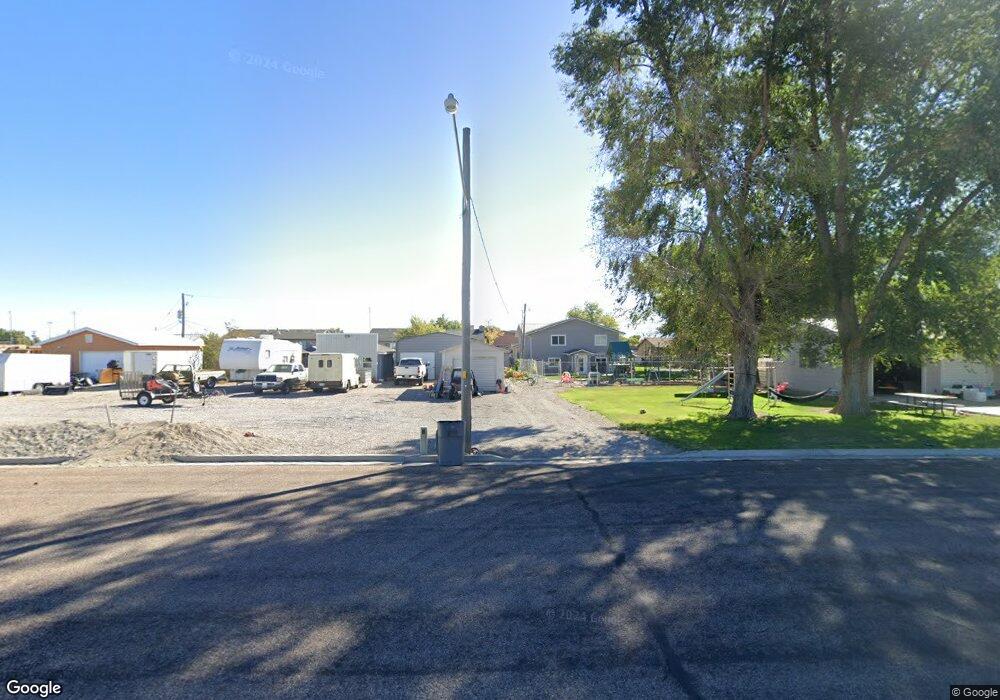
This home is located at 348 N 100 E, Delta, UT 84624 and is currently estimated at $255,076. 348 N 100 E is a home with nearby schools including Cba Center and White River Academy.
Ownership History
Date
Name
Owned For
Owner Type
Purchase Details
Closed on
Aug 5, 2022
Sold by
Jacobson Chesley P
Bought by
Chesley P And Mylisa R Jacobson Family Trust
Current Estimated Value
Purchase Details
Closed on
May 25, 2017
Sold by
Jacobson Chesley P and Jacobson Mylisa R
Bought by
Carter Kelly K and Carter Deana Kim
Purchase Details
Closed on
Jan 23, 2013
Sold by
Nielson Craig E and Nielson Jacklyn T
Bought by
Jacobson Chelsey P and Jacobson Mylisa R
Purchase Details
Closed on
Mar 3, 2011
Sold by
Nielson Craig E
Bought by
Nielson Craig E and Nielson Jacklyn T
Purchase Details
Closed on
Nov 26, 2005
Sold by
Zeeman Roger and Nielson Craig E
Bought by
Nielson Craig E
Purchase Details
Closed on
Nov 10, 2005
Sold by
Richards Bruce L and Hughes James Kent Q
Bought by
Zeeman Roger and Nielson Craig E
Create a Home Valuation Report for This Property
The Home Valuation Report is an in-depth analysis detailing your home's value as well as a comparison with similar homes in the area
Home Values in the Area
Average Home Value in this Area
Purchase History
| Date | Buyer | Sale Price | Title Company |
|---|---|---|---|
| Chesley P And Mylisa R Jacobson Family Trust | -- | None Listed On Document | |
| Carter Kelly K | -- | -- | |
| Jacobson Chelsey P | -- | -- | |
| Nielson Craig E | -- | -- | |
| Nielson Craig E | -- | -- | |
| Zeeman Roger | -- | -- |
Source: Public Records
Tax History
| Year | Tax Paid | Tax Assessment Tax Assessment Total Assessment is a certain percentage of the fair market value that is determined by local assessors to be the total taxable value of land and additions on the property. | Land | Improvement |
|---|---|---|---|---|
| 2025 | $536 | $57,089 | $16,713 | $40,376 |
| 2024 | $536 | $6,399 | $1,743 | $4,656 |
| 2023 | $78 | $6,399 | $1,743 | $4,656 |
| 2022 | $56 | $4,047 | $1,822 | $2,225 |
| 2021 | $52 | $3,603 | $1,378 | $2,225 |
| 2020 | $51 | $3,478 | $1,253 | $2,225 |
| 2019 | $49 | $3,341 | $1,160 | $2,181 |
| 2018 | $48 | $3,341 | $1,160 | $2,181 |
| 2017 | $50 | $3,307 | $1,126 | $2,181 |
| 2016 | $46 | $3,307 | $1,126 | $2,181 |
| 2015 | $46 | $3,307 | $1,126 | $2,181 |
| 2014 | -- | $5,169 | $1,126 | $4,043 |
| 2013 | -- | $5,169 | $1,126 | $4,043 |
Source: Public Records
Map
Nearby Homes
- 325 N 100 W
- 0 E Highway 6 Unit LotWP001 16586023
- 445 Topaz Blvd Unit 10
- 520 E 450 North Rd
- 7900 E 250 Rd N
- 149 N 200 W
- 44 E 300 S
- 87 S 300 East Rd
- 163 W 100 S
- 628 Sunset St
- 321 E 200 S
- 901 E 750 Rd N
- 451 W 300 N
- 341 W 100 S
- 98 W 1000 N
- 294 S 300 W
- Locust Ave Unit LotWP001
- 648 Tamarix St
- 700 N Highway 6
- 7430 W 3000 N
Your Personal Tour Guide
Ask me questions while you tour the home.