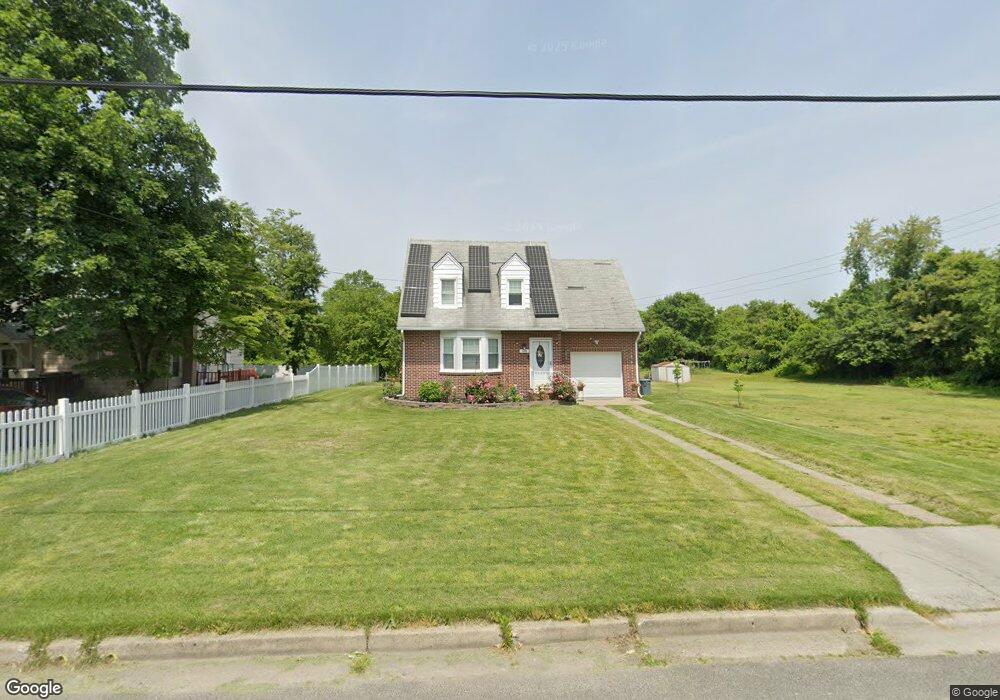
348 N Broad St Penns Grove, NJ 08069
Estimated Value: $204,701 - $305,000
--
Bed
--
Bath
1,092
Sq Ft
$230/Sq Ft
Est. Value
About This Home
This home is located at 348 N Broad St, Penns Grove, NJ 08069 and is currently estimated at $251,675, approximately $230 per square foot. 348 N Broad St is a home located in Salem County with nearby schools including Lafayette-Pershing Elementary School, Field Street Elementary School, and Paul W. Carleton Elementary School.
Ownership History
Date
Name
Owned For
Owner Type
Purchase Details
Closed on
Sep 30, 2015
Sold by
Johnson Robert E and Johnson Jennifer Caynor
Bought by
Gonder Esref and Gonder Arzu
Current Estimated Value
Home Financials for this Owner
Home Financials are based on the most recent Mortgage that was taken out on this home.
Original Mortgage
$132,554
Outstanding Balance
$106,096
Interest Rate
4.4%
Mortgage Type
FHA
Estimated Equity
$145,579
Purchase Details
Closed on
Apr 13, 2005
Sold by
Jp Morgan Chase Bank
Bought by
Johnson Robert E
Home Financials for this Owner
Home Financials are based on the most recent Mortgage that was taken out on this home.
Original Mortgage
$126,000
Interest Rate
6.01%
Mortgage Type
Fannie Mae Freddie Mac
Purchase Details
Closed on
Oct 8, 2004
Sold by
Smith Daniel J and Smith Bessie M
Bought by
Jp Morgan Chase Bank
Create a Home Valuation Report for This Property
The Home Valuation Report is an in-depth analysis detailing your home's value as well as a comparison with similar homes in the area
Home Values in the Area
Average Home Value in this Area
Purchase History
| Date | Buyer | Sale Price | Title Company |
|---|---|---|---|
| Gonder Esref | $135,000 | None Available | |
| Johnson Robert E | $129,900 | -- | |
| Jp Morgan Chase Bank | -- | -- |
Source: Public Records
Mortgage History
| Date | Status | Borrower | Loan Amount |
|---|---|---|---|
| Open | Gonder Esref | $132,554 | |
| Previous Owner | Johnson Robert E | $126,000 |
Source: Public Records
Tax History Compared to Growth
Tax History
| Year | Tax Paid | Tax Assessment Tax Assessment Total Assessment is a certain percentage of the fair market value that is determined by local assessors to be the total taxable value of land and additions on the property. | Land | Improvement |
|---|---|---|---|---|
| 2025 | $4,465 | $224,500 | $55,100 | $169,400 |
| 2024 | $4,311 | $121,100 | $43,500 | $77,600 |
| 2023 | $4,311 | $121,100 | $43,500 | $77,600 |
| 2022 | $4,057 | $121,100 | $43,500 | $77,600 |
| 2021 | $4,018 | $121,100 | $43,500 | $77,600 |
| 2020 | $4,053 | $121,100 | $43,500 | $77,600 |
| 2019 | $4,087 | $121,100 | $43,500 | $77,600 |
| 2018 | $4,078 | $129,500 | $37,700 | $91,800 |
| 2017 | $3,802 | $129,500 | $37,700 | $91,800 |
| 2016 | $4,297 | $151,900 | $47,700 | $104,200 |
| 2015 | $4,097 | $151,900 | $47,700 | $104,200 |
| 2014 | $3,878 | $151,900 | $47,700 | $104,200 |
Source: Public Records
Map
Nearby Homes
- 311 Pine St
- 303 Pine St
- 279 Pine St
- 51 Washington Ave
- 81 7th Ave
- 28 4th Ave
- 111 Grove St
- 59 61 Broad St
- 142 N Dolbow Ave
- 27 E Line St
- 113 N Broad St
- 71 Poplar St
- 136 Penns Grove Auburn Rd
- 70 Perkintown Rd
- 31 Elvin Ave
- 89 Delaware Ave
- 18 Pearl St
- 99 N Virginia Ave
- 87 W Pitman St
- 102 Delaware Ave Unit FRONT