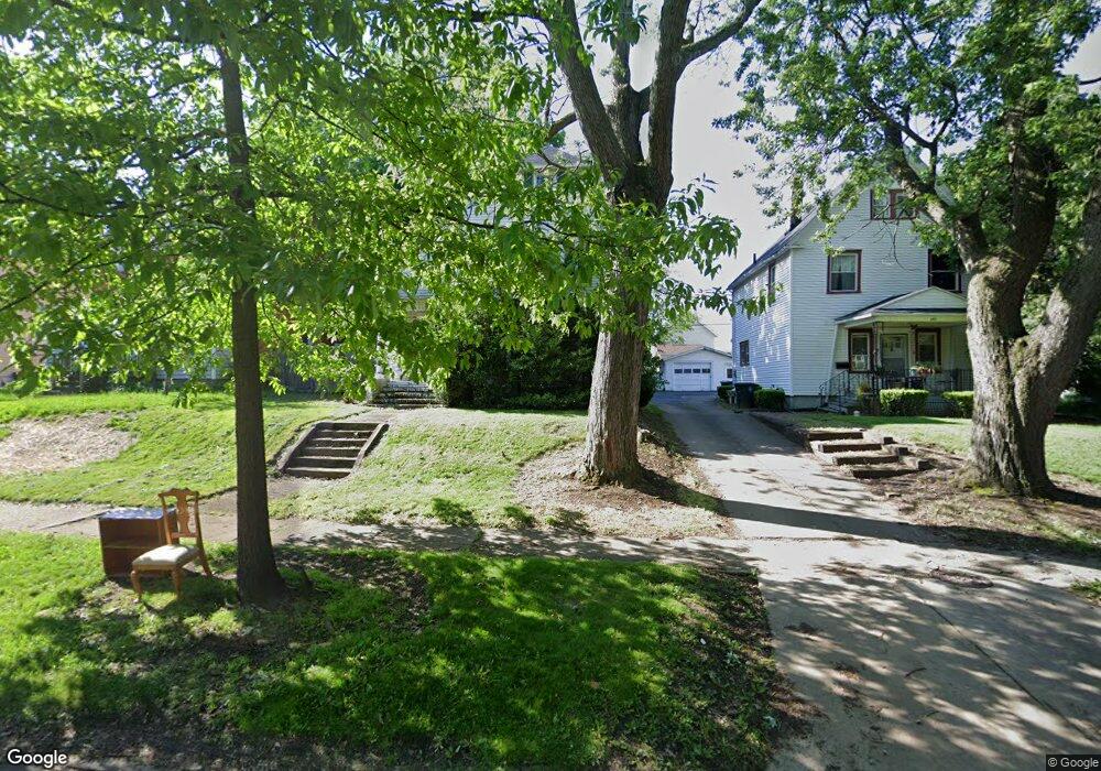
348 N Firestone Blvd Akron, OH 44301
Firestone Park NeighborhoodEstimated Value: $140,039 - $176,000
4
Beds
2
Baths
2,064
Sq Ft
$75/Sq Ft
Est. Value
About This Home
This home is located at 348 N Firestone Blvd, Akron, OH 44301 and is currently estimated at $154,760, approximately $74 per square foot. 348 N Firestone Blvd is a home located in Summit County with nearby schools including Firestone Park Elementary School, Kenmore Garfield Community Learning Center, and Main Preparatory Academy.
Ownership History
Date
Name
Owned For
Owner Type
Purchase Details
Closed on
Feb 4, 2014
Sold by
Petrosek Thomas J
Bought by
Petrasek Gregory and Petrasek Roberta
Current Estimated Value
Home Financials for this Owner
Home Financials are based on the most recent Mortgage that was taken out on this home.
Original Mortgage
$25,000
Outstanding Balance
$19,001
Interest Rate
4.49%
Mortgage Type
Purchase Money Mortgage
Estimated Equity
$135,759
Create a Home Valuation Report for This Property
The Home Valuation Report is an in-depth analysis detailing your home's value as well as a comparison with similar homes in the area
Home Values in the Area
Average Home Value in this Area
Purchase History
| Date | Buyer | Sale Price | Title Company |
|---|---|---|---|
| Petrasek Gregory | $25,000 | Wigley Title Agnecy Inc |
Source: Public Records
Mortgage History
| Date | Status | Borrower | Loan Amount |
|---|---|---|---|
| Open | Petrasek Gregory | $25,000 |
Source: Public Records
Tax History Compared to Growth
Tax History
| Year | Tax Paid | Tax Assessment Tax Assessment Total Assessment is a certain percentage of the fair market value that is determined by local assessors to be the total taxable value of land and additions on the property. | Land | Improvement |
|---|---|---|---|---|
| 2025 | $2,072 | $37,447 | $9,485 | $27,962 |
| 2024 | $2,072 | $37,447 | $9,485 | $27,962 |
| 2023 | $2,072 | $37,447 | $9,485 | $27,962 |
| 2022 | $2,012 | $28,540 | $7,186 | $21,354 |
| 2021 | $2,014 | $28,540 | $7,186 | $21,354 |
| 2020 | $1,985 | $28,540 | $7,190 | $21,350 |
| 2019 | $1,722 | $22,300 | $6,680 | $15,620 |
| 2018 | $1,700 | $22,300 | $6,680 | $15,620 |
| 2017 | $1,250 | $22,300 | $6,680 | $15,620 |
| 2016 | $1,728 | $22,300 | $6,680 | $15,620 |
| 2015 | $1,250 | $15,750 | $6,680 | $9,070 |
| 2014 | $1,241 | $15,750 | $6,680 | $9,070 |
| 2013 | $2,103 | $28,310 | $6,680 | $21,630 |
Source: Public Records
Map
Nearby Homes
- 1362 Wilbur Ave
- 1459 Holly Ave
- 342 E Archwood Ave
- 0 Beardsley St
- 1367 Girard St
- 1500 Beardsley St
- 1258 Lily St
- 1328 Dietz Ave
- 440 Palm Ave
- 484 Reed Ave
- 1349 Grant St
- 1327 Dietz Ave
- 1408 Grant St
- 1239 Lily St
- 1264 Dietz Ave
- 1345 Bellows St
- 544 N Firestone Blvd
- 1236 Wilbur Ave
- 1217 Brown St
- 1263 Herberich Ave
- 342 N Firestone Blvd
- 352 N Firestone Blvd
- 338 N Firestone Blvd
- 358 N Firestone Blvd
- 357 Lindenwood Ave
- 353 Lindenwood Ave
- 361 Lindenwood Ave
- 362 N Firestone Blvd
- 334 N Firestone Blvd
- 349 Lindenwood Ave
- 365 Lindenwood Ave
- 371 Lindenwood Ave
- 366 N Firestone Blvd
- 345 Lindenwood Ave
- 345 N Firestone Blvd
- 351 N Firestone Blvd
- 375 Lindenwood Ave
- 341 N Firestone Blvd
- 355 N Firestone Blvd
- 372 N Firestone Blvd