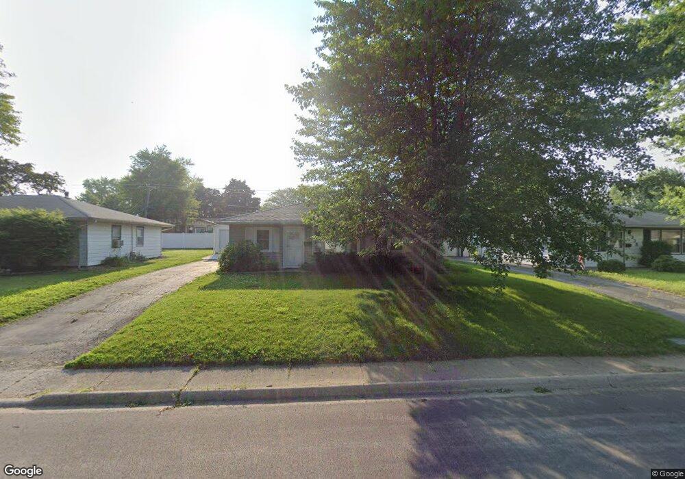
348 N Levasseur Ave Bourbonnais, IL 60914
Estimated Value: $143,000 - $199,000
3
Beds
2
Baths
--
Sq Ft
6,273
Sq Ft Lot
About This Home
This home is located at 348 N Levasseur Ave, Bourbonnais, IL 60914 and is currently estimated at $165,502. 348 N Levasseur Ave is a home located in Kankakee County with nearby schools including Shabbona Elementary School, Liberty Intermediate School, and Bourbonnais Upper Grade Center.
Ownership History
Date
Name
Owned For
Owner Type
Purchase Details
Closed on
Jun 5, 2015
Sold by
Sokarda George P and Sokarda Christina
Bought by
Wheaton Daniel J
Current Estimated Value
Home Financials for this Owner
Home Financials are based on the most recent Mortgage that was taken out on this home.
Original Mortgage
$112,100
Outstanding Balance
$88,702
Interest Rate
4.37%
Mortgage Type
New Conventional
Estimated Equity
$76,800
Create a Home Valuation Report for This Property
The Home Valuation Report is an in-depth analysis detailing your home's value as well as a comparison with similar homes in the area
Home Values in the Area
Average Home Value in this Area
Purchase History
| Date | Buyer | Sale Price | Title Company |
|---|---|---|---|
| Wheaton Daniel J | $118,000 | American Nat L Title |
Source: Public Records
Mortgage History
| Date | Status | Borrower | Loan Amount |
|---|---|---|---|
| Open | Wheaton Daniel J | $112,100 |
Source: Public Records
Tax History Compared to Growth
Tax History
| Year | Tax Paid | Tax Assessment Tax Assessment Total Assessment is a certain percentage of the fair market value that is determined by local assessors to be the total taxable value of land and additions on the property. | Land | Improvement |
|---|---|---|---|---|
| 2024 | $3,108 | $43,395 | $6,562 | $36,833 |
| 2023 | $2,823 | $40,181 | $6,076 | $34,105 |
| 2022 | $2,452 | $34,492 | $5,856 | $28,636 |
| 2021 | $2,309 | $32,656 | $5,727 | $26,929 |
| 2020 | $2,061 | $29,329 | $5,574 | $23,755 |
| 2019 | $1,967 | $28,023 | $5,412 | $22,611 |
| 2018 | $1,841 | $26,553 | $5,332 | $21,221 |
| 2017 | $1,796 | $25,905 | $5,202 | $20,703 |
| 2016 | $1,613 | $23,912 | $5,125 | $18,787 |
| 2015 | $1,611 | $23,675 | $5,074 | $18,601 |
| 2014 | $2,191 | $31,024 | $5,074 | $25,950 |
| 2013 | -- | $29,741 | $5,074 | $24,667 |
Source: Public Records
Map
Nearby Homes
- 899 Armour Rd
- 279 W Country Ct
- 261 Mohawk Dr
- 213 Bernard St
- 118 Meadows Ct
- 404 E Grand Dr
- 273 Harvard Ave
- 271 Toni St
- 475 S Cryer Ave
- 482 S Rivard St
- 635 Independence Dr
- 52 Hanson Dr
- Lot 5/5A Almar Pkwy
- 717 Independence Dr
- 725 Independence Dr
- 631 Concord Place
- 590 Jonette Ave
- 530 Meadows Rd S
- 0 Broadway St E Unit MRD12509049
- 1355 N Arthur Burch Dr Unit R21
- 338 N Levasseur Ave
- 362 N Levasseur Ave
- 328 N Levasseur Ave
- 374 N Levasseur Ave
- 357 N Levasseur Ave
- 347 N Levasseur Ave
- 367 N Levasseur Ave
- 349 Ashley Ave
- 377 Ashley Ave
- 363 Ashley Ave
- 318 N Levasseur Ave
- 335 Ashley Ave
- 327 N Levasseur Ave
- 640 Armour Rd
- 329 Ashley Ave
- 387 N Levasseur Ave
- 356 Belle Aire Ave
- 366 Belle Aire Ave
- 346 Belle Aire Ave
- 376 Belle Aire Ave