348 Sr 1014 Nicholson, PA 18446
Estimated Value: $166,832 - $293,000
Studio
--
Bath
--
Sq Ft
130,680
Sq Ft Lot
About This Home
This home is located at 348 Sr 1014, Nicholson, PA 18446 and is currently estimated at $243,708. 348 Sr 1014 is a home located in Wyoming County with nearby schools including Lackawanna Trail Elementary Center and Lackawanna Trail Junior/Senior High School.
Ownership History
Date
Name
Owned For
Owner Type
Purchase Details
Closed on
Nov 27, 2019
Bought by
Dodge Edward and Rozelle Dora
Current Estimated Value
Purchase Details
Closed on
Sep 24, 2019
Sold by
Wyoming County Of
Bought by
Jp Morgan Chase Bank Na
Purchase Details
Closed on
Aug 30, 2005
Sold by
Deacon David
Bought by
Rich Connie
Home Financials for this Owner
Home Financials are based on the most recent Mortgage that was taken out on this home.
Original Mortgage
$26,750
Interest Rate
5.81%
Mortgage Type
New Conventional
Create a Home Valuation Report for This Property
The Home Valuation Report is an in-depth analysis detailing your home's value as well as a comparison with similar homes in the area
Home Values in the Area
Average Home Value in this Area
Purchase History
| Date | Buyer | Sale Price | Title Company |
|---|---|---|---|
| Dodge Edward | $47,500 | -- | |
| Jp Morgan Chase Bank Na | $1,615 | -- | |
| Rich Connie | $107,000 | None Available |
Source: Public Records
Mortgage History
| Date | Status | Borrower | Loan Amount |
|---|---|---|---|
| Previous Owner | Rich Connie | $26,750 | |
| Previous Owner | Rich Connie | $74,900 |
Source: Public Records
Tax History
| Year | Tax Paid | Tax Assessment Tax Assessment Total Assessment is a certain percentage of the fair market value that is determined by local assessors to be the total taxable value of land and additions on the property. | Land | Improvement |
|---|---|---|---|---|
| 2025 | $2,600 | $21,340 | $3,250 | $18,090 |
| 2024 | $2,577 | $21,155 | $3,250 | $17,905 |
| 2023 | $2,567 | $21,155 | $3,250 | $17,905 |
| 2022 | $2,578 | $21,155 | $3,250 | $17,905 |
| 2021 | $2,567 | $21,155 | $3,250 | $17,905 |
| 2020 | $2,615 | $21,155 | $3,250 | $17,905 |
| 2019 | $2,611 | $21,150 | $3,250 | $17,900 |
| 2018 | $2,533 | $21,150 | $3,250 | $17,900 |
| 2017 | $2,440 | $0 | $0 | $0 |
| 2016 | -- | $0 | $0 | $0 |
| 2015 | -- | $0 | $0 | $0 |
| 2014 | -- | $0 | $0 | $0 |
Source: Public Records
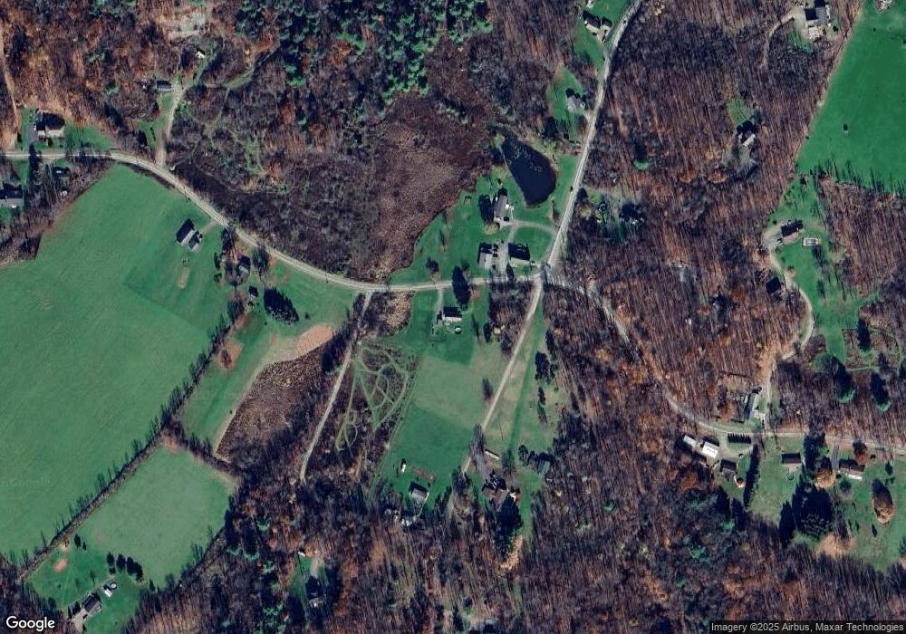
Map
Nearby Homes
- 330 Pedrick Rd
- 212 Wright Way
- 13 Hillside Dr
- 672 Spencer Hill Rd
- 1253 Bacontown Rd
- 0 Lewis Unit GSBSC260374
- 115 State St
- 70 State St
- 5150 Station Hill Rd
- 141 College Ave
- 98 College Ave
- 62 Timber Trail
- 49 College Ave
- 1 Capwell Ave
- 0 Baylors Pond Rd Unit 25-4015
- 106 Lexington Dr Unit 1
- 2037 Sr4016
- 58 Davison Rd
- 2117 E Laplume Rd
- 0 Sr 4014 Unit GSBSC3273
- 348 State Route 1014 (Box2100 Rr2) Rd
- 111 Spencer Hill Rd
- 00 State Route 1014
- 284 State Route 1014
- 0 State Route 1014
- 245 Tunnel Rd
- 246 Tunnel Rd
- 385 Sr 1014
- 298 Sr 1014
- 79 Staff Hollow Ln
- 145 Spencer Hill Rd
- 109 Kodish Mtn Ln
- 436 Sr 1014
- 222 Tunnel Rd
- 165 Spencer Hill Rd
- 134 Spencer Hill Rd
- 154 Kodish Mtn Ln
- 220 Tunnel Rd
- 2549 Rr 2
- 3203A Rr 3
Your Personal Tour Guide
Ask me questions while you tour the home.