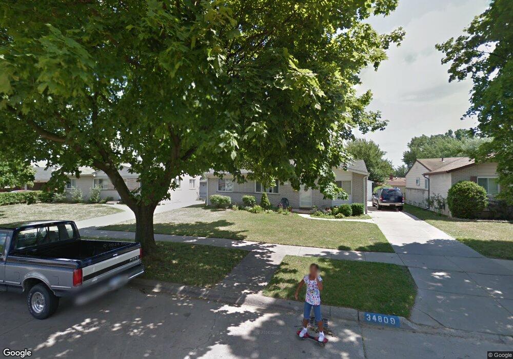
34809 Malcolm St Romulus, MI 48174
Estimated Value: $174,000 - $198,000
3
Beds
1
Bath
1,008
Sq Ft
$184/Sq Ft
Est. Value
About This Home
This home is located at 34809 Malcolm St, Romulus, MI 48174 and is currently estimated at $185,613, approximately $184 per square foot. 34809 Malcolm St is a home located in Wayne County with nearby schools including Wick Elementary School, Romulus Middle School, and Romulus Senior High School.
Ownership History
Date
Name
Owned For
Owner Type
Purchase Details
Closed on
Jul 1, 2005
Sold by
Johnston Steve and Johnston Diane M
Bought by
Johnson Alvina
Current Estimated Value
Home Financials for this Owner
Home Financials are based on the most recent Mortgage that was taken out on this home.
Original Mortgage
$152,000
Interest Rate
5.93%
Mortgage Type
Fannie Mae Freddie Mac
Purchase Details
Closed on
Aug 7, 2003
Sold by
Tigner Aaron
Bought by
Bankers Trust Company Of California Na and Ucfc Loan Trust 1998-D
Create a Home Valuation Report for This Property
The Home Valuation Report is an in-depth analysis detailing your home's value as well as a comparison with similar homes in the area
Home Values in the Area
Average Home Value in this Area
Purchase History
| Date | Buyer | Sale Price | Title Company |
|---|---|---|---|
| Johnson Alvina | $152,000 | Stewart Title | |
| Bankers Trust Company Of California Na | $70,871 | -- |
Source: Public Records
Mortgage History
| Date | Status | Borrower | Loan Amount |
|---|---|---|---|
| Previous Owner | Johnson Alvina | $152,000 |
Source: Public Records
Tax History
| Year | Tax Paid | Tax Assessment Tax Assessment Total Assessment is a certain percentage of the fair market value that is determined by local assessors to be the total taxable value of land and additions on the property. | Land | Improvement |
|---|---|---|---|---|
| 2025 | $2,395 | $89,000 | $0 | $0 |
| 2024 | $2,377 | $82,500 | $0 | $0 |
| 2023 | $2,272 | $73,600 | $0 | $0 |
| 2022 | $2,522 | $68,500 | $0 | $0 |
| 2021 | $2,452 | $53,700 | $0 | $0 |
| 2020 | $2,408 | $44,200 | $0 | $0 |
| 2019 | $2,383 | $35,700 | $0 | $0 |
| 2018 | $1,746 | $37,700 | $0 | $0 |
| 2017 | $812 | $37,200 | $0 | $0 |
| 2016 | $1,602 | $34,800 | $0 | $0 |
| 2015 | $3,107 | $33,300 | $0 | $0 |
| 2013 | $3,010 | $32,700 | $0 | $0 |
| 2012 | $935 | $31,900 | $4,900 | $27,000 |
Source: Public Records
Map
Nearby Homes
- 9535 Chamberlain St
- 34956 Michelle Dr
- 9286 Chamberlain St
- 9274 Chamberlain St
- 9829 Gary St
- 35855 Herman St
- 8080 Wayne Rd
- 35945 Herman St
- 35773 Surrey Ct
- 36617 Herman St
- Vacant Bibbins St
- 35953 Bibbins St
- 11132 Delano St
- 11359 Gabriel St
- VACANT Northline
- VACANT Wayne
- VACANT Burton
- 11238 Moore St
- 35344 Ecorse Rd
- 7063 Sargent St
- 34821 Malcolm St
- 34755 Malcolm St
- 34833 Malcolm St
- 34743 Malcolm St
- 34742 Lynn Dr
- 34812 Lynn Dr
- 34754 Lynn Dr
- 34800 Lynn Dr
- 9478 Karen St
- 34730 Lynn Dr
- 34845 Malcolm St Unit Bldg-Unit
- 34845 Malcolm St
- 34731 Malcolm St
- 9477 Karen St
- 9466 Karen St
- 34718 Lynn Dr
- 9465 Karen St
- 9479 Terry St
- 34719 Malcolm St
- 34857 Malcolm St
Your Personal Tour Guide
Ask me questions while you tour the home.