34815 Ocean Dr Pacific City, OR 97135
Estimated Value: $874,161 - $1,397,000
3
Beds
4
Baths
2,222
Sq Ft
$504/Sq Ft
Est. Value
About This Home
This home is located at 34815 Ocean Dr, Pacific City, OR 97135 and is currently estimated at $1,119,040, approximately $503 per square foot. 34815 Ocean Dr is a home with nearby schools including Nestucca K-8 School and Nestucca High School.
Ownership History
Date
Name
Owned For
Owner Type
Purchase Details
Closed on
Dec 10, 2008
Sold by
Taylor A Robert and Taylor Michelle
Bought by
Jennison Laura and Jennison Jon
Current Estimated Value
Home Financials for this Owner
Home Financials are based on the most recent Mortgage that was taken out on this home.
Original Mortgage
$396,000
Outstanding Balance
$265,965
Interest Rate
6.47%
Mortgage Type
Purchase Money Mortgage
Estimated Equity
$853,075
Create a Home Valuation Report for This Property
The Home Valuation Report is an in-depth analysis detailing your home's value as well as a comparison with similar homes in the area
Home Values in the Area
Average Home Value in this Area
Purchase History
| Date | Buyer | Sale Price | Title Company |
|---|---|---|---|
| Jennison Laura | $660,000 | First American |
Source: Public Records
Mortgage History
| Date | Status | Borrower | Loan Amount |
|---|---|---|---|
| Open | Jennison Laura | $396,000 |
Source: Public Records
Tax History Compared to Growth
Tax History
| Year | Tax Paid | Tax Assessment Tax Assessment Total Assessment is a certain percentage of the fair market value that is determined by local assessors to be the total taxable value of land and additions on the property. | Land | Improvement |
|---|---|---|---|---|
| 2024 | $6,082 | $504,140 | $178,570 | $325,570 |
| 2023 | $6,040 | $489,460 | $173,370 | $316,090 |
| 2022 | $5,826 | $475,210 | $168,320 | $306,890 |
| 2021 | $5,688 | $461,370 | $163,420 | $297,950 |
| 2020 | $5,551 | $447,940 | $158,660 | $289,280 |
| 2019 | $5,495 | $434,900 | $154,040 | $280,860 |
| 2018 | $5,047 | $422,240 | $149,550 | $272,690 |
| 2017 | $4,618 | $409,950 | $145,190 | $264,760 |
| 2016 | $4,540 | $398,010 | $140,960 | $257,050 |
| 2015 | $4,438 | $386,420 | $136,860 | $249,560 |
| 2014 | $4,350 | $375,170 | $132,880 | $242,290 |
| 2013 | -- | $364,250 | $129,010 | $235,240 |
Source: Public Records
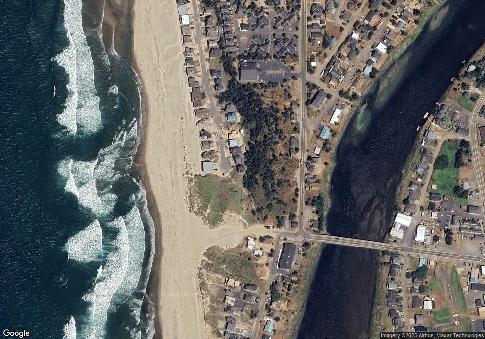
Map
Nearby Homes
- 34800 Ocean Dr
- 35100 Sunset Dr
- 5706 Four Sisters Ln
- 35165 Rueppell Ave
- 34320 Cape Kiwanda Dr
- 34270 Sea Swallow Dr
- 5950 Neptune Dr
- 34970 6th St
- 34970 Sixth St
- TL 2714 Tent St
- 34700 Hill St
- 34475 Brooten Rd
- 5930 Summerhouse Ln
- 35970 Sunset Dr
- 5904 Barefoot Ln
- 5685 Barefoot Ln
- Lot 12 Cape Kiwanda Dr
- 5755 Barefoot Ln
- 12 Reddekopp Rd
- 14 Reddekopp Rd
- 34895 Ocean Dr
- 34895 Ocean Dr
- 34785 Ocean Dr
- 34775 Ocean Dr
- 34790 Ocean Dr
- TL 9100 Ocean Dr
- 34790 Ocean Dr
- 34770 Ocean Dr
- 34750 Ocean Dr
- 34735 Ocean Dr
- 34860 Cape Kiwanda Dr
- 35134 Sunset Dr
- 34840 Cape Kiwanda Dr
- 34730 Ocean Dr
- 34730 Ocean Dr
- 35150 Sunset Dr
- 34715 Ocean Dr
- 34710 Ocean Dr
- 34710 Ocean Dr
- 34865 Cape Kiwanda Dr