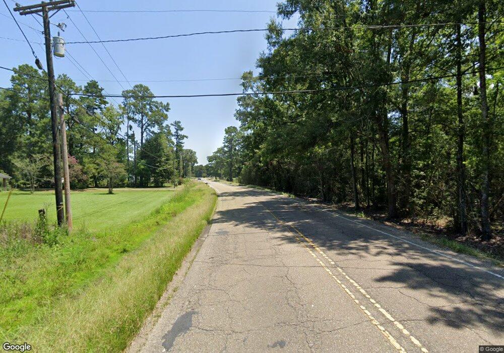
34822 La Hwy 1019 Denham Springs, LA 70706
Estimated Value: $225,000 - $411,355
3
Beds
3
Baths
1,837
Sq Ft
$173/Sq Ft
Est. Value
About This Home
This home is located at 34822 La Hwy 1019, Denham Springs, LA 70706 and is currently estimated at $318,178, approximately $173 per square foot. 34822 La Hwy 1019 is a home located in Livingston Parish with nearby schools including South Live Oak Elementary School, Live Oak Middle School, and Live Oak High School.
Ownership History
Date
Name
Owned For
Owner Type
Purchase Details
Closed on
Sep 26, 2013
Sold by
Kennard Hill Alice Kay
Bought by
Edge Halbert and Edge Debra
Current Estimated Value
Home Financials for this Owner
Home Financials are based on the most recent Mortgage that was taken out on this home.
Original Mortgage
$153,425
Outstanding Balance
$115,466
Interest Rate
4.54%
Mortgage Type
New Conventional
Estimated Equity
$202,712
Create a Home Valuation Report for This Property
The Home Valuation Report is an in-depth analysis detailing your home's value as well as a comparison with similar homes in the area
Home Values in the Area
Average Home Value in this Area
Purchase History
| Date | Buyer | Sale Price | Title Company |
|---|---|---|---|
| Edge Halbert | $161,500 | Commerce Title |
Source: Public Records
Mortgage History
| Date | Status | Borrower | Loan Amount |
|---|---|---|---|
| Open | Edge Halbert | $153,425 |
Source: Public Records
Tax History Compared to Growth
Tax History
| Year | Tax Paid | Tax Assessment Tax Assessment Total Assessment is a certain percentage of the fair market value that is determined by local assessors to be the total taxable value of land and additions on the property. | Land | Improvement |
|---|---|---|---|---|
| 2024 | $2,300 | $20,305 | $3,660 | $16,645 |
| 2023 | $1,895 | $14,540 | $2,820 | $11,720 |
| 2022 | $1,907 | $14,540 | $2,820 | $11,720 |
| 2021 | $1,694 | $14,540 | $2,820 | $11,720 |
| 2020 | $1,686 | $14,540 | $2,820 | $11,720 |
| 2019 | $1,734 | $14,500 | $2,140 | $12,360 |
| 2018 | $1,756 | $14,500 | $2,140 | $12,360 |
| 2017 | $1,792 | $14,500 | $2,140 | $12,360 |
| 2015 | $108 | $8,120 | $1,930 | $6,190 |
| 2014 | $109 | $8,120 | $1,930 | $6,190 |
Source: Public Records
Map
Nearby Homes
- 34832 La Hwy 1019 Unit 8C
- 34832 La Hwy 1019 Unit 7D
- 34863 La Hwy 1019
- 34711 La Highway 16
- 7800 Whitley Rd
- 7736 River Ridge Dr
- 7257 Riverbank Dr
- 6987 Chandler Bluff Rd
- 8105 Minglewood Ave
- Lot 10 Riverbank Dr
- Tract B Springfield Rd
- Lot A1A Riverbank Dr
- 7234 Riverbank Dr
- Lot 5 Riverbank Dr
- Lot 3 Riverbank Dr
- 7233 Riverbank Dr
- 7282 Riverbank Dr
- 7128 Chandler Bluff Rd
- 8034 Versailles Dr
- 7258 Riverbank Dr
- 34822 La Highway 1019
- 34822 La Highway 1019
- 34810 La Highway 1019
- 34810 La Hwy 1019
- 34810 Louisiana 1019
- 7777 Bend Road Extension
- 34741 La Hwy 1019
- 35026 Joel Ott Ln
- 35083 Joel Ott Ln
- 7714 Bend Rd
- 34832 La Highway 1019 Unit 8B
- 34832 La Highway 1019 Unit 8D
- 34832 La Highway 1019 Unit 9B
- 34832 La Highway 1019 Unit 9C
- 34832 La Highway 1019 Unit 9D
- 34832 La Highway 1019 Unit 9A
- 34832 La Highway 1019 Unit 8C
- 34832 La Highway 1019 Unit 7B
- 34832 La Highway 1019 Unit 7C
- 34832 La Highway 1019 Unit 8A
