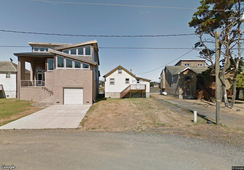
34830 River Ave Pacific City, OR 97135
Estimated Value: $326,497 - $376,000
1
Bed
1
Bath
640
Sq Ft
$542/Sq Ft
Est. Value
About This Home
This home is located at 34830 River Ave, Pacific City, OR 97135 and is currently estimated at $346,874, approximately $541 per square foot. 34830 River Ave is a home with nearby schools including Nestucca K-8 School and Nestucca High School.
Ownership History
Date
Name
Owned For
Owner Type
Purchase Details
Closed on
Apr 4, 2018
Sold by
Brockbank Elaine Margaret
Bought by
Hall Kenneth Nolan and Hall Margaret Ann
Current Estimated Value
Purchase Details
Closed on
Jan 28, 2016
Sold by
Hall Kenneth Nolan and Hall Margaret Ann
Bought by
Hall Kenneth N and Hall Margaret A
Purchase Details
Closed on
Nov 29, 2007
Sold by
Hall Daniel Crown
Bought by
Hall Daniel C and Brockbank Elaine M
Create a Home Valuation Report for This Property
The Home Valuation Report is an in-depth analysis detailing your home's value as well as a comparison with similar homes in the area
Home Values in the Area
Average Home Value in this Area
Purchase History
| Date | Buyer | Sale Price | Title Company |
|---|---|---|---|
| Hall Kenneth Nolan | -- | None Available | |
| Hall Kenneth N | -- | None Available | |
| Hall Daniel C | -- | First American |
Source: Public Records
Tax History Compared to Growth
Tax History
| Year | Tax Paid | Tax Assessment Tax Assessment Total Assessment is a certain percentage of the fair market value that is determined by local assessors to be the total taxable value of land and additions on the property. | Land | Improvement |
|---|---|---|---|---|
| 2024 | $1,925 | $158,860 | $96,950 | $61,910 |
| 2023 | $1,912 | $154,240 | $94,130 | $60,110 |
| 2022 | $1,844 | $149,750 | $91,390 | $58,360 |
| 2021 | $1,801 | $145,390 | $88,730 | $56,660 |
| 2020 | $1,758 | $141,160 | $86,150 | $55,010 |
| 2019 | $1,719 | $137,050 | $83,640 | $53,410 |
| 2018 | $1,578 | $133,060 | $81,200 | $51,860 |
| 2017 | $1,443 | $129,190 | $78,840 | $50,350 |
| 2016 | $1,418 | $125,430 | $76,550 | $48,880 |
| 2015 | $1,386 | $121,780 | $74,320 | $47,460 |
| 2014 | $1,358 | $118,240 | $72,160 | $46,080 |
| 2013 | -- | $114,800 | $70,060 | $44,740 |
Source: Public Records
Map
Nearby Homes
- 34905 Cape Kiwanda Dr
- 5706 Four Sisters Ln
- 35165 Rueppell Ave
- TL 2714 Tent St
- 34970 6th St
- 34970 Sixth St
- 34700 Hill St
- 34800 Ocean Dr
- 35100 Sunset Dr
- 34320 Cape Kiwanda Dr
- 34475 Brooten Rd
- 5950 Neptune Dr
- 34270 Sea Swallow Dr
- Lot 12 Cape Kiwanda Dr
- 12 Reddekopp Rd
- 14 Reddekopp Rd
- 13 Reddekopp Rd
- 3 Reddekopp Rd
- 4 Reddekopp Rd
- 11 Reddekopp Rd
- 34820 River Ave
- 34840 River Ave
- 34850 River Rd
- 34850 River Ave
- 6305 Ferry St
- 34860 River Ave
- 34870 River Ave
- 34880 River Ave
- 0 Brooten Parcel II Unit 111489079
- 34790 Brooten Rd
- 34000 Blk Brooten Rd Tl 8200
- 34790 Brooten Rd
- 34890 River Ave
- 34890 River Ave
- 0 Brooten Parcel 1 Unit 256264295
- 34000 Blk Brooten Rd Tl 8100
- V/L River Ave
- v/l/ River Ave
- V/L River Ave
- Lot 6600 River Ave