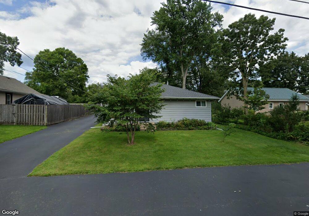
34831 N Robin Rd Ingleside, IL 60041
Wooster Lake NeighborhoodEstimated Value: $177,520 - $264,000
Studio
1
Bath
1,278
Sq Ft
$177/Sq Ft
Est. Value
About This Home
This home is located at 34831 N Robin Rd, Ingleside, IL 60041 and is currently estimated at $225,630, approximately $176 per square foot. 34831 N Robin Rd is a home located in Lake County with nearby schools including Big Hollow Primary School, Big Hollow Elementary School, and Big Hollow Middle School.
Ownership History
Date
Name
Owned For
Owner Type
Purchase Details
Closed on
Aug 2, 2012
Sold by
Stanphill Debra and Stanphill Daryl M
Bought by
Stanphill Daryl M and Stanphill Debra
Current Estimated Value
Home Financials for this Owner
Home Financials are based on the most recent Mortgage that was taken out on this home.
Original Mortgage
$135,040
Interest Rate
3.37%
Mortgage Type
New Conventional
Purchase Details
Closed on
Jul 31, 2002
Sold by
Stanphill Douglas B
Bought by
Stanphill Douglas B and Stanphill Christina L
Home Financials for this Owner
Home Financials are based on the most recent Mortgage that was taken out on this home.
Original Mortgage
$87,000
Interest Rate
6.63%
Create a Home Valuation Report for This Property
The Home Valuation Report is an in-depth analysis detailing your home's value as well as a comparison with similar homes in the area
Home Values in the Area
Average Home Value in this Area
Purchase History
| Date | Buyer | Sale Price | Title Company |
|---|---|---|---|
| Stanphill Daryl M | -- | None Available | |
| Stanphill Douglas B | -- | -- |
Source: Public Records
Mortgage History
| Date | Status | Borrower | Loan Amount |
|---|---|---|---|
| Closed | Stanphill Daryl M | $135,040 | |
| Closed | Stanphill Douglas B | $87,000 |
Source: Public Records
Tax History
| Year | Tax Paid | Tax Assessment Tax Assessment Total Assessment is a certain percentage of the fair market value that is determined by local assessors to be the total taxable value of land and additions on the property. | Land | Improvement |
|---|---|---|---|---|
| 2024 | $2,983 | $51,596 | $7,907 | $43,689 |
| 2023 | $3,564 | $48,607 | $7,449 | $41,158 |
| 2022 | $3,564 | $48,105 | $6,016 | $42,089 |
| 2021 | $3,495 | $45,344 | $5,671 | $39,673 |
| 2020 | $2,980 | $38,497 | $5,589 | $32,908 |
| 2019 | $2,866 | $36,917 | $5,360 | $31,557 |
| 2018 | $2,996 | $38,903 | $5,045 | $33,858 |
| 2017 | $2,909 | $35,958 | $4,663 | $31,295 |
| 2016 | $2,909 | $32,887 | $4,265 | $28,622 |
| 2015 | $2,776 | $30,690 | $3,980 | $26,710 |
| 2014 | $1,820 | $21,588 | $5,573 | $16,015 |
| 2012 | $2,704 | $23,225 | $5,807 | $17,418 |
Source: Public Records
Map
Nearby Homes
- 35025 N Ingleside Dr
- 26297 W Larkin Ln
- 26276 W Larkin Ln
- 26172 W Vista Ct Unit 92
- 35063 N Emerald Shores Ct
- 35080 N Ellen Dr
- 200 Hollow Way
- 35105 N Ingleside Dr
- 35359 N Donald Ct
- 34550 N Wilson Rd
- 26177 W Lakeview Ave
- 27254 W Nippersink Rd
- 1397 Nippersink Rd
- 25815 W Hilltop Dr
- 2596 W Birch Dr Unit 1
- 34399 N Barberry Ct Unit 28151
- 34314 N Barberry Rd Unit 318
- 605 Rollins Rd
- 117 Terra Meadow Cir
- 291 Red Oak Cir
- 34841 N Robin Rd
- 34863 N Robin Rd
- 34817 N Robin Rd
- 34871 N Robin Rd
- 34799 N Robin Rd
- 34822 N Robin Rd
- 34844 N Robin Rd
- 34862 N Robin Rd
- 34816 N Robin Rd
- 34781 N Robin Rd
- 34870 N Robin Rd
- 34800 N Robin Rd
- 34782 N Robin Rd
- 34878 N Robin Rd
- 34831 N Forest Ave
- 26526 W Wooster Lake Dr
- 34823 N Forest Ave
- 26522 W Wooster Lake Dr
- 26540 W Wooster Lake Dr
- 34817 N Forest Ave
Your Personal Tour Guide
Ask me questions while you tour the home.