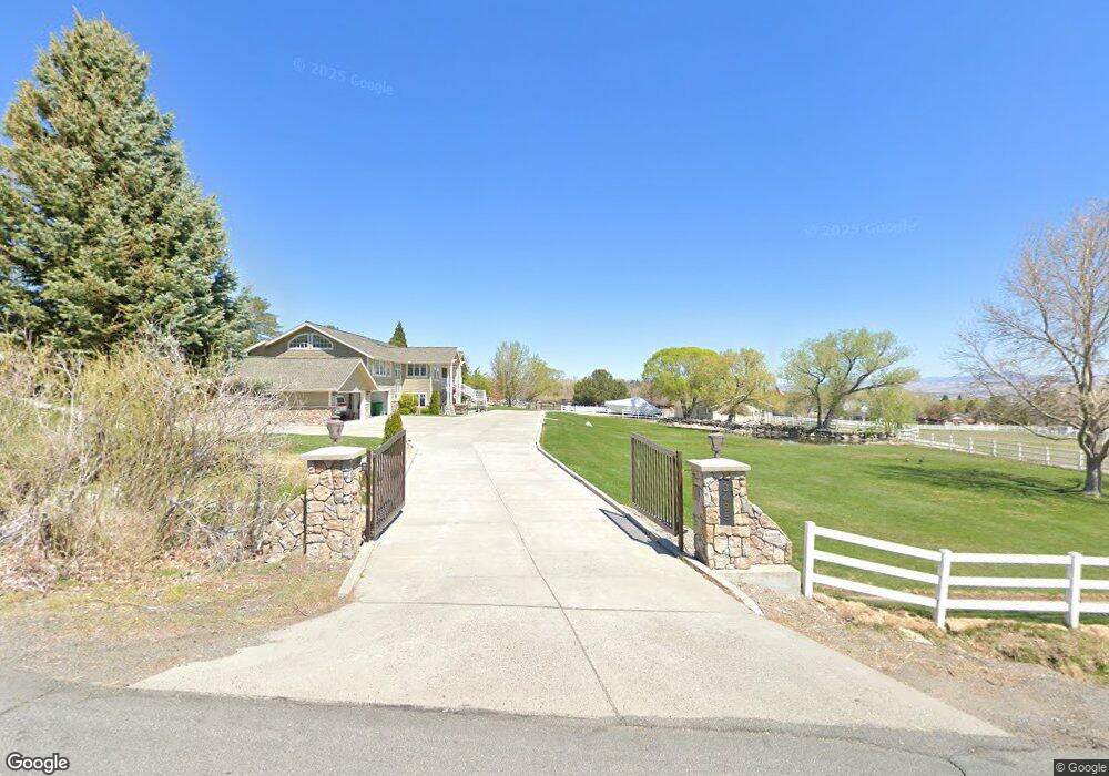
3485 Lone Tree Ln Reno, NV 89511
Bartley Ranch NeighborhoodEstimated Value: $2,127,416 - $2,731,000
4
Beds
5
Baths
3,023
Sq Ft
$804/Sq Ft
Est. Value
About This Home
This home is located at 3485 Lone Tree Ln, Reno, NV 89511 and is currently estimated at $2,429,208, approximately $803 per square foot. 3485 Lone Tree Ln is a home located in Washoe County with nearby schools including Huffaker Elementary School, Edward L Pine Middle School, and Reno High School.
Ownership History
Date
Name
Owned For
Owner Type
Purchase Details
Closed on
Aug 25, 1998
Sold by
Brandt Alan Deane and Brandt Daryn Dale
Bought by
Brandt Alan Deane and Brandt Daryn Dale
Current Estimated Value
Home Financials for this Owner
Home Financials are based on the most recent Mortgage that was taken out on this home.
Original Mortgage
$390,000
Interest Rate
6.91%
Create a Home Valuation Report for This Property
The Home Valuation Report is an in-depth analysis detailing your home's value as well as a comparison with similar homes in the area
Home Values in the Area
Average Home Value in this Area
Purchase History
| Date | Buyer | Sale Price | Title Company |
|---|---|---|---|
| Brandt Alan Deane | -- | Stewart Title |
Source: Public Records
Mortgage History
| Date | Status | Borrower | Loan Amount |
|---|---|---|---|
| Closed | Brandt Alan Deane | $390,000 |
Source: Public Records
Tax History
| Year | Tax Paid | Tax Assessment Tax Assessment Total Assessment is a certain percentage of the fair market value that is determined by local assessors to be the total taxable value of land and additions on the property. | Land | Improvement |
|---|---|---|---|---|
| 2026 | $7,110 | $457,143 | $315,000 | $142,143 |
| 2025 | $9,231 | $431,955 | $290,325 | $141,630 |
| 2024 | $9,231 | $407,338 | $266,438 | $140,901 |
| 2023 | $8,964 | $386,740 | $255,413 | $131,328 |
| 2022 | $8,703 | $298,487 | $192,938 | $105,549 |
| 2021 | $8,450 | $274,719 | $167,213 | $107,506 |
| 2020 | $8,203 | $265,456 | $154,350 | $111,106 |
| 2019 | $7,965 | $258,017 | $147,000 | $111,017 |
| 2018 | $7,722 | $239,083 | $128,625 | $110,458 |
| 2017 | $7,484 | $247,104 | $134,750 | $112,354 |
| 2016 | $7,179 | $231,855 | $123,200 | $108,655 |
| 2015 | $7,165 | $227,259 | $115,500 | $111,759 |
| 2014 | $6,957 | $214,355 | $103,950 | $110,405 |
| 2013 | -- | $244,721 | $134,750 | $109,971 |
Source: Public Records
Map
Nearby Homes
- 3485 Frost Ln
- 2490 Faretto Ln
- 790 Schellbourne Rd
- 810 Schellbourne St
- 4400 Slide Mountain Cir
- 1895 Vintners Place
- 6540 Monticello Ct Unit 2
- 6513 Evans Creek Dr
- 1960 Clos du Val Ct Unit 4
- 6435 Meadow Valley Ln
- 2249 Evans Creek Terrace
- 2100 Holcomb Ranch Ln
- 1899 Rombauer Ct
- 6317 Meadow Creek Dr
- 390 Questa Ct
- 7554 Whimbleton Way Unit 6
- 7960 Meadow Vista Dr
- 7555 Lighthouse Ln
- 6194 Laurelwood Dr
- 3387 Nambe Dr
- 3525 Lunsford Ct
- 3445 Lunsford Ct
- 3485 Lunsford Ct
- 3500 Lone Tree Ln
- 3560 Lunsford Ct
- 3565 Lone Tree Ln
- 3660 Lone Tree Ln
- 3450 Lone Tree Ln
- 3400 Lunsford Ct
- 3405 Lunsford Ct
- 3405 Lone Tree Ln
- 3600 Lone Tree Ln
- 3790 Lone Tree Ln
- 3540 Frost Ln
- 3400 Lone Tree Ln
- 3510 Lone Tree Ln
- 8451 Lakeside Dr
- 8701 Lone Tree Ln
- 3780 Frost Ln
- 3500 Frost Ln
Your Personal Tour Guide
Ask me questions while you tour the home.