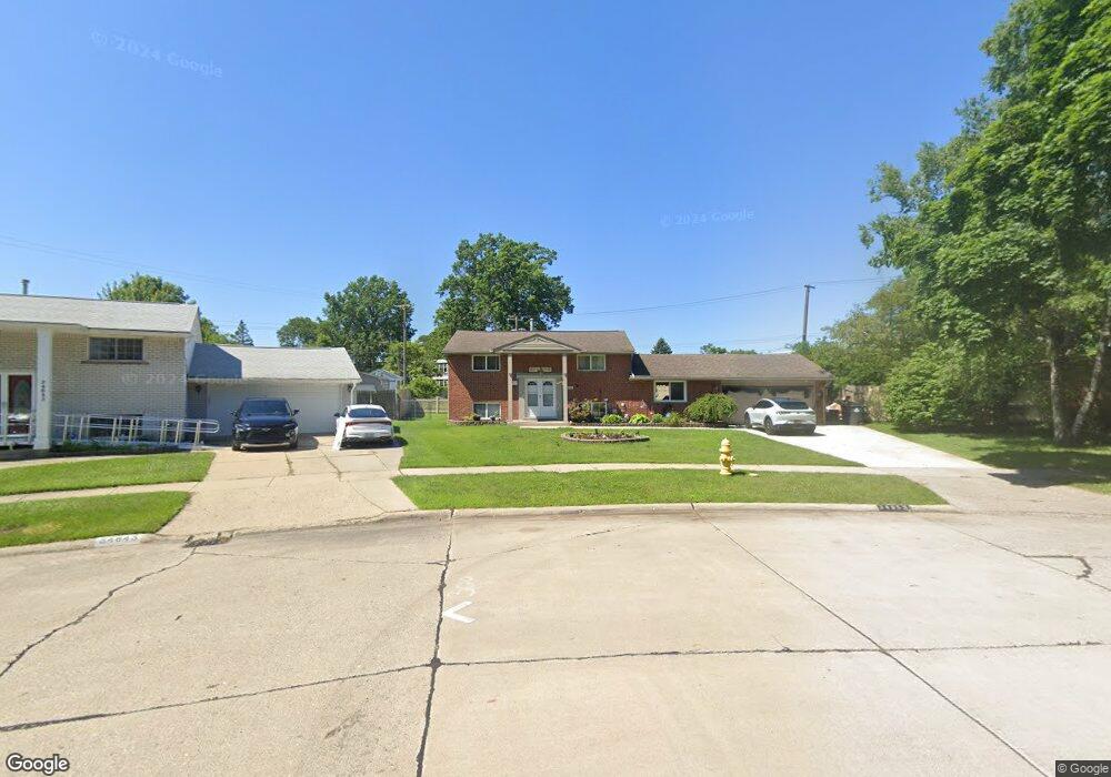
34855 Somerset St Unit Bldg-Unit Westland, MI 48186
Estimated Value: $243,000 - $268,247
--
Bed
2
Baths
1,685
Sq Ft
$150/Sq Ft
Est. Value
About This Home
This home is located at 34855 Somerset St Unit Bldg-Unit, Westland, MI 48186 and is currently estimated at $253,312, approximately $150 per square foot. 34855 Somerset St Unit Bldg-Unit is a home located in Wayne County with nearby schools including Wildwood Elementary School, Marshall Upper Elementary School, and John Glenn High School.
Ownership History
Date
Name
Owned For
Owner Type
Purchase Details
Closed on
Jan 25, 2018
Sold by
Pale Nancy E
Bought by
Muhsen Towfeeq
Current Estimated Value
Purchase Details
Closed on
Mar 17, 2009
Sold by
Citimortgage Inc
Bought by
Pate Nancy E
Purchase Details
Closed on
Sep 13, 2007
Sold by
Stark Langdon E and Stark Jill K
Bought by
Citimortgage Inc
Purchase Details
Closed on
Mar 23, 2001
Sold by
Ross Dempster A
Bought by
Stark Langdon E
Create a Home Valuation Report for This Property
The Home Valuation Report is an in-depth analysis detailing your home's value as well as a comparison with similar homes in the area
Home Values in the Area
Average Home Value in this Area
Purchase History
| Date | Buyer | Sale Price | Title Company |
|---|---|---|---|
| Muhsen Towfeeq | $152,000 | None Available | |
| Pate Nancy E | $45,000 | Attorneys Title Agency Inc | |
| Citimortgage Inc | $143,282 | None Available | |
| Stark Langdon E | $139,900 | -- |
Source: Public Records
Tax History Compared to Growth
Tax History
| Year | Tax Paid | Tax Assessment Tax Assessment Total Assessment is a certain percentage of the fair market value that is determined by local assessors to be the total taxable value of land and additions on the property. | Land | Improvement |
|---|---|---|---|---|
| 2025 | $3,626 | $126,300 | $0 | $0 |
| 2024 | $3,626 | $119,800 | $0 | $0 |
| 2023 | $3,463 | $105,400 | $0 | $0 |
| 2022 | $3,992 | $94,500 | $0 | $0 |
| 2021 | $3,892 | $88,200 | $0 | $0 |
| 2020 | $3,850 | $79,700 | $0 | $0 |
| 2019 | $3,710 | $74,600 | $0 | $0 |
| 2018 | $2,367 | $65,700 | $0 | $0 |
| 2017 | $1,083 | $64,700 | $0 | $0 |
| 2016 | $3,004 | $64,800 | $0 | $0 |
| 2015 | $5,858 | $60,230 | $0 | $0 |
| 2013 | $5,759 | $58,840 | $0 | $0 |
| 2012 | $3,428 | $57,340 | $0 | $0 |
Source: Public Records
Map
Nearby Homes
- 357 S Dobson St
- 344 S Christine
- 34728 Somerset St
- 284 S Byfield St
- 366 S Wildwood St
- 232 S Wildwood St
- 35052 Cherry Hill Rd
- 451 Darwin St
- 34610 School St
- 35193 Sansburn St
- 711 S Hawthorne St
- 34114 Avondale St
- 35236 Glen St
- 34553 Hazelwood St
- 360 van Sull St
- 35228 Rosslyn St
- 639 N Harvey St
- 624 N Parent St
- 33532 Leona St
- 34238 Sheridan St
- 34855 Somerset St
- 34843 Somerset St
- 392 S Christine
- 34850 Hiveley St
- 34831 Somerset St
- 380 S Christine
- 600 S Christine
- 34838 Hiveley St
- 34819 Somerset St
- 34840 Somerset St
- 368 S Christine
- 34826 Hiveley St
- 614 S Christine
- 34820 Somerset St
- 34807 Somerset St
- 367 S Christine
- 356 S Christine
- 34814 Hiveley St
- 34806 Somerset St
- 628 S Christine