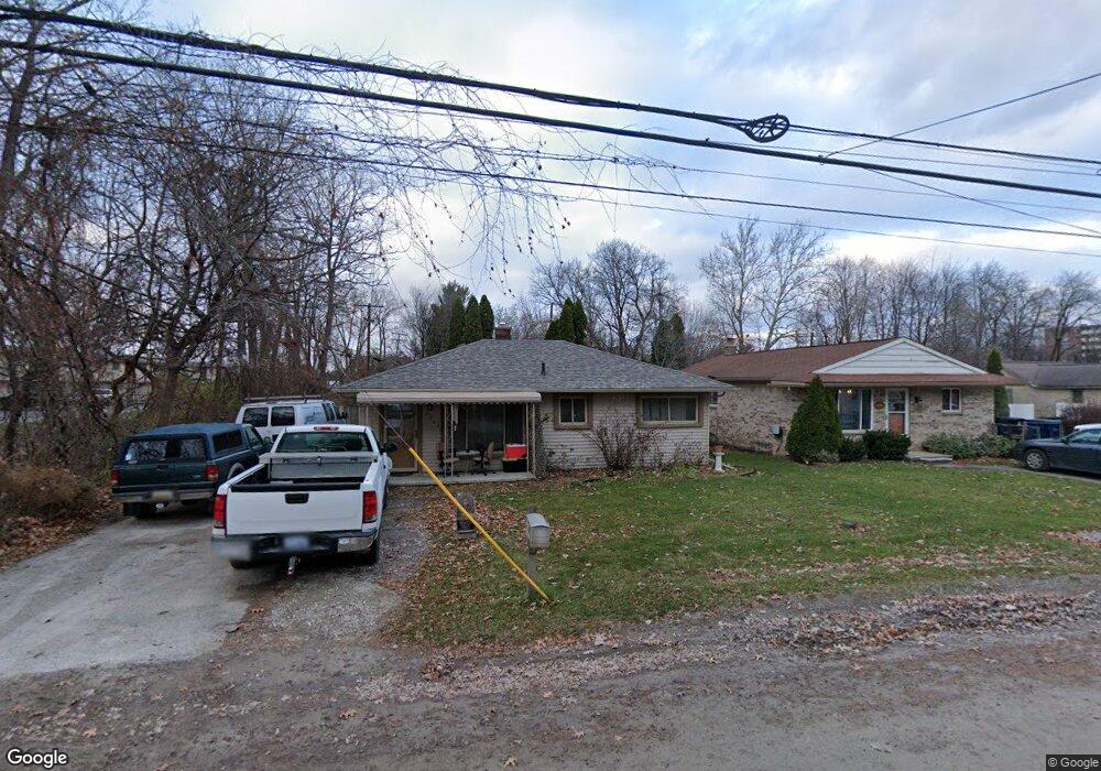
34862 Stacy St Westland, MI 48185
Estimated Value: $144,156 - $192,000
--
Bed
1
Bath
826
Sq Ft
$197/Sq Ft
Est. Value
About This Home
This home is located at 34862 Stacy St, Westland, MI 48185 and is currently estimated at $162,539, approximately $196 per square foot. 34862 Stacy St is a home located in Wayne County with nearby schools including Thomas A. Edison Elementary School, Marshall Upper Elementary School, and Adlai Stevenson Middle School.
Ownership History
Date
Name
Owned For
Owner Type
Purchase Details
Closed on
Feb 18, 2018
Sold by
Edwards John S
Bought by
Edwads Matthew David
Current Estimated Value
Purchase Details
Closed on
Feb 16, 2018
Sold by
Edwards Pamela D
Bought by
Edwards John S
Purchase Details
Closed on
Sep 29, 2006
Sold by
Strong Katrina and Estate Of Douglas Ray Thompson
Bought by
Strong Katrina
Purchase Details
Closed on
Sep 10, 1999
Sold by
Bouchard Donald J
Bought by
Thompson Douglas R
Create a Home Valuation Report for This Property
The Home Valuation Report is an in-depth analysis detailing your home's value as well as a comparison with similar homes in the area
Home Values in the Area
Average Home Value in this Area
Purchase History
| Date | Buyer | Sale Price | Title Company |
|---|---|---|---|
| Edwads Matthew David | -- | None Available | |
| Edwards John S | -- | None Available | |
| Strong Katrina | -- | Title Source Inc | |
| Edwards John S | $105,000 | Title Source Inc | |
| Thompson Douglas R | $74,000 | -- |
Source: Public Records
Tax History Compared to Growth
Tax History
| Year | Tax Paid | Tax Assessment Tax Assessment Total Assessment is a certain percentage of the fair market value that is determined by local assessors to be the total taxable value of land and additions on the property. | Land | Improvement |
|---|---|---|---|---|
| 2025 | $1,174 | $66,000 | $0 | $0 |
| 2024 | $1,174 | $55,200 | $0 | $0 |
| 2023 | $1,121 | $47,300 | $0 | $0 |
| 2022 | $1,359 | $41,700 | $0 | $0 |
| 2021 | $1,248 | $35,500 | $0 | $0 |
| 2020 | $1,395 | $35,400 | $0 | $0 |
| 2019 | $1,185 | $29,000 | $0 | $0 |
| 2018 | $922 | $25,500 | $0 | $0 |
| 2017 | $385 | $25,300 | $0 | $0 |
| 2016 | $2,936 | $25,300 | $0 | $0 |
| 2015 | $2,282 | $24,400 | $0 | $0 |
| 2013 | $2,320 | $24,010 | $0 | $0 |
| 2012 | $2,425 | $23,930 | $0 | $0 |
Source: Public Records
Map
Nearby Homes
- 0 N Wayne Rd
- 7051 Wayne Rd
- 34802 Pardo St
- 34752 John Hauk St
- 34203 Tomahawk Dr
- 6546 Quail Run Cir
- 35737 Hunter Ave
- 35754 Castlewood Ct
- 33640 Birchlawn
- 1680 N Hanlon St
- 1605 N Hanlon St
- 33540 Birchlawn
- 35833 Ford Rd
- 1654 Shoemaker Dr Unit 145
- 34036 Pawnee St
- 35863 Hunter Ave Unit 34
- 1812/ 1824 Imperial Hwy
- 33435 Krauter St
- 1309 Shoemaker Dr
- 6912 Moccasin St
- 34846 Stacy St
- 34826 Stacy St
- 34816 Stacy St
- 0 Stacy Unit 4910985
- 34845 Stacy St
- 34768 Stacy St
- 34819 Stacy St
- 34752 Stacy St
- 35051 Stacy St
- 34759 Block
- 34736 Stacy St
- 34747 Block
- 5895 N Christine
- 34757 Stacy St
- 34735 Block
- 34745 Stacy St
- 34720 Stacy St
- 5855 N Christine
- 35123 Stacy St
- 34601 Elmwood Ave