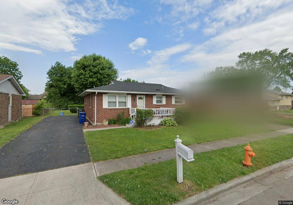
3489 Leach Dr Columbus, OH 43207
Obetz-Lockbourne NeighborhoodEstimated Value: $174,000 - $191,000
3
Beds
2
Baths
1,053
Sq Ft
$175/Sq Ft
Est. Value
About This Home
This home is located at 3489 Leach Dr, Columbus, OH 43207 and is currently estimated at $184,631, approximately $175 per square foot. 3489 Leach Dr is a home located in Franklin County with nearby schools including Parsons Elementary School, Buckeye Middle School, and Marion-Franklin High School.
Ownership History
Date
Name
Owned For
Owner Type
Purchase Details
Closed on
Jul 20, 2021
Sold by
Booker John L
Bought by
Booker Sonia D
Current Estimated Value
Home Financials for this Owner
Home Financials are based on the most recent Mortgage that was taken out on this home.
Original Mortgage
$86,487
Outstanding Balance
$63,464
Interest Rate
2.2%
Mortgage Type
FHA
Estimated Equity
$121,167
Purchase Details
Closed on
Jul 19, 1993
Bought by
Booker John L
Purchase Details
Closed on
Jul 2, 1992
Purchase Details
Closed on
Jun 1, 1985
Create a Home Valuation Report for This Property
The Home Valuation Report is an in-depth analysis detailing your home's value as well as a comparison with similar homes in the area
Home Values in the Area
Average Home Value in this Area
Purchase History
| Date | Buyer | Sale Price | Title Company |
|---|---|---|---|
| Booker Sonia D | -- | None Listed On Document | |
| Booker John L | $59,900 | -- | |
| -- | $59,900 | -- | |
| -- | -- | -- |
Source: Public Records
Mortgage History
| Date | Status | Borrower | Loan Amount |
|---|---|---|---|
| Open | Booker Sonia D | $86,487 |
Source: Public Records
Tax History
| Year | Tax Paid | Tax Assessment Tax Assessment Total Assessment is a certain percentage of the fair market value that is determined by local assessors to be the total taxable value of land and additions on the property. | Land | Improvement |
|---|---|---|---|---|
| 2025 | $2,394 | $53,340 | $14,700 | $38,640 |
| 2024 | $2,394 | $53,340 | $14,700 | $38,640 |
| 2023 | $2,363 | $53,340 | $14,700 | $38,640 |
| 2022 | $1,692 | $32,620 | $10,080 | $22,540 |
| 2021 | $1,695 | $32,620 | $10,080 | $22,540 |
| 2020 | $1,697 | $32,620 | $10,080 | $22,540 |
| 2019 | $1,646 | $27,130 | $8,400 | $18,730 |
| 2018 | $1,601 | $27,130 | $8,400 | $18,730 |
| 2017 | $1,645 | $27,130 | $8,400 | $18,730 |
| 2016 | $1,718 | $25,940 | $4,590 | $21,350 |
| 2015 | $1,560 | $25,940 | $4,590 | $21,350 |
| 2014 | $1,564 | $25,940 | $4,590 | $21,350 |
| 2013 | $812 | $27,300 | $4,830 | $22,470 |
Source: Public Records
Map
Nearby Homes
- 3458 S 8th St
- 245 Marilla Rd
- 256 Rumsey Rd Unit 258
- 3325 Parsons Ave
- 525 Ashwood Rd
- 3714 Parsons Ave
- 3691 Ferman Rd
- 484 Cedarwood Rd
- 3204 Lee Ellen Place
- 577 Barcher Rd
- 445 Basswood Rd
- 0 Parsons Ave Unit 225012522
- 3735 Christie Rd W
- 3234 E Ave
- 691 Colton Rd
- 1633-1635 E Greenway Ave
- 3127 Parsons Ave
- 228 Currier Dr
- 211 Delaney Dr
- 3785 S Ohio Ave
Your Personal Tour Guide
Ask me questions while you tour the home.