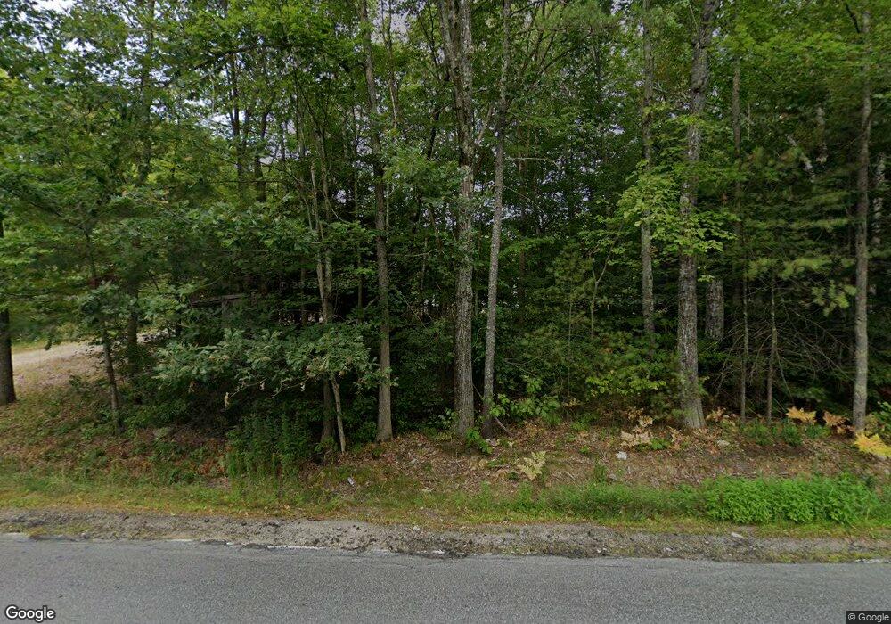
349 Bond Spring Rd West Newfield, ME 04095
Newfield NeighborhoodEstimated Value: $376,000 - $411,000
3
Beds
1
Bath
1,176
Sq Ft
$338/Sq Ft
Est. Value
About This Home
This home is located at 349 Bond Spring Rd, West Newfield, ME 04095 and is currently estimated at $396,964, approximately $337 per square foot. 349 Bond Spring Rd is a home located in York County with nearby schools including Massabesic High School.
Ownership History
Date
Name
Owned For
Owner Type
Purchase Details
Closed on
May 21, 2021
Sold by
Therrien Jonathan M
Bought by
Phelan John W
Current Estimated Value
Home Financials for this Owner
Home Financials are based on the most recent Mortgage that was taken out on this home.
Original Mortgage
$228,000
Outstanding Balance
$205,744
Interest Rate
3.1%
Mortgage Type
Purchase Money Mortgage
Estimated Equity
$191,220
Create a Home Valuation Report for This Property
The Home Valuation Report is an in-depth analysis detailing your home's value as well as a comparison with similar homes in the area
Home Values in the Area
Average Home Value in this Area
Purchase History
| Date | Buyer | Sale Price | Title Company |
|---|---|---|---|
| Phelan John W | -- | None Available |
Source: Public Records
Mortgage History
| Date | Status | Borrower | Loan Amount |
|---|---|---|---|
| Open | Phelan John W | $228,000 |
Source: Public Records
Tax History Compared to Growth
Tax History
| Year | Tax Paid | Tax Assessment Tax Assessment Total Assessment is a certain percentage of the fair market value that is determined by local assessors to be the total taxable value of land and additions on the property. | Land | Improvement |
|---|---|---|---|---|
| 2025 | $2,841 | $230,200 | $86,600 | $143,600 |
| 2024 | $2,716 | $230,200 | $86,600 | $143,600 |
| 2023 | $2,514 | $230,200 | $86,600 | $143,600 |
| 2022 | $2,247 | $230,200 | $86,600 | $143,600 |
| 2021 | $2,096 | $184,200 | $69,300 | $114,900 |
| 2020 | $2,096 | $184,200 | $69,300 | $114,900 |
| 2019 | $2,052 | $184,200 | $69,300 | $114,900 |
| 2018 | $2,015 | $184,200 | $69,300 | $114,900 |
| 2017 | $1,989 | $184,200 | $69,300 | $114,900 |
| 2016 | $1,936 | $184,200 | $69,300 | $114,900 |
| 2015 | $1,794 | $184,200 | $69,300 | $114,900 |
| 2014 | $1,829 | $196,700 | $81,800 | $114,900 |
| 2013 | $1,770 | $196,700 | $81,800 | $114,900 |
Source: Public Records
Map
Nearby Homes
- 00 Carter Ln
- 220 Bond Spring Rd
- 112 Gile Rd
- 281 Gile Rd
- 510 Balch Mill Rd
- 367 Shady Nook Rd
- 59 Main St
- 11 Symmes Dr
- 174 Wakefield Rd
- 282 Granny Kent Pond Rd
- 315 Libby Rd
- 164 Granny Kent Pond Rd
- Lot 3C Bridge St
- 00 Bridge St
- 223 Bridge St
- 38-25.2 0 Row Mowry Ln
- 360 Bridge St
- 48 Elm St
- 00 Libby Rd Unit Lot 9
- 57 Green Bay Rd
- 349 Bond Spring Rd
- 346 Bond Spring Rd
- 354 Bond Spring Rd
- 354 Bond Spring Rd
- 357 Bond Spring Rd
- 35 Applegate Ln
- 367 Bond Spring Rd
- 372 Bond Spring Rd
- 322 Bond Spring Rd
- 378 Bond Spring Rd
- 248 Bond Spring Rd
- 21 Morrison Ln
- 0 Morrison Ln
- 392 Bond Spring Rd
- 47 Applegate Ln
- 40 Morrison Ln
- 80 Morrison Ln
- 60 Morrison Ln
- 49 Applegate Ln
- 401 Bond Spring Rd
