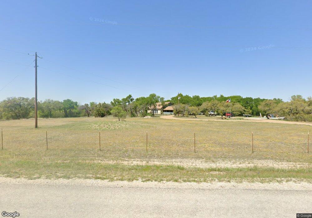
349 Brown Creek Rd Weatherford, TX 76085
Estimated Value: $461,213 - $463,000
4
Beds
3
Baths
2,086
Sq Ft
$222/Sq Ft
Est. Value
About This Home
This home is located at 349 Brown Creek Rd, Weatherford, TX 76085 and is currently estimated at $462,107, approximately $221 per square foot. 349 Brown Creek Rd is a home located in Parker County with nearby schools including Crockett Elementary School, Tison Middle School, and Weatherford High School.
Ownership History
Date
Name
Owned For
Owner Type
Purchase Details
Closed on
Jul 17, 2008
Sold by
Thurman Nancy
Bought by
Johnson Ellen M
Current Estimated Value
Home Financials for this Owner
Home Financials are based on the most recent Mortgage that was taken out on this home.
Original Mortgage
$151,920
Outstanding Balance
$98,107
Interest Rate
6.09%
Mortgage Type
Commercial
Estimated Equity
$364,000
Purchase Details
Closed on
Jan 15, 2001
Sold by
Thurman Charles and Thurman Nancy
Bought by
Hannan Philip J and Hannan Jennifer
Create a Home Valuation Report for This Property
The Home Valuation Report is an in-depth analysis detailing your home's value as well as a comparison with similar homes in the area
Home Values in the Area
Average Home Value in this Area
Purchase History
| Date | Buyer | Sale Price | Title Company |
|---|---|---|---|
| Johnson Ellen M | -- | None Available | |
| Hannan Philip J | -- | -- |
Source: Public Records
Mortgage History
| Date | Status | Borrower | Loan Amount |
|---|---|---|---|
| Open | Johnson Ellen M | $151,920 |
Source: Public Records
Tax History Compared to Growth
Tax History
| Year | Tax Paid | Tax Assessment Tax Assessment Total Assessment is a certain percentage of the fair market value that is determined by local assessors to be the total taxable value of land and additions on the property. | Land | Improvement |
|---|---|---|---|---|
| 2025 | $4,758 | $250,928 | $29,980 | $220,948 |
| 2024 | $4,758 | $355,680 | $24,990 | $330,690 |
| 2023 | $4,758 | $433,110 | $0 | $0 |
| 2022 | $7,331 | $420,550 | $200,790 | $219,760 |
| 2021 | $7,210 | $420,550 | $200,790 | $219,760 |
| 2020 | $6,600 | $357,640 | $140,180 | $217,460 |
| 2019 | $6,401 | $357,640 | $140,180 | $217,460 |
| 2018 | $5,850 | $268,930 | $90,410 | $178,520 |
| 2017 | $5,555 | $268,930 | $90,410 | $178,520 |
| 2016 | $5,050 | $227,500 | $85,280 | $142,220 |
| 2015 | $4,592 | $227,500 | $85,280 | $142,220 |
| 2014 | $4,505 | $221,860 | $85,280 | $136,580 |
Source: Public Records
Map
Nearby Homes
- 4895 Upper Denton Rd
- 1009 Sabrina Ct
- 2065 Preserve Trail
- 152 Katy Ranch Dr
- 2000 Collin St
- 5350 Upper Denton Rd
- 209 Timber Valley Ct
- 1000 Rays Way
- 5885-A Old Springtown Rd
- 5885-B Old Springtown Rd
- 5885-C Old Springtown Rd
- 5885-E Old Springtown Rd
- 5885-D Old Springtown Rd
- TBD Lot 42 Blk 2 Timber Valley Ln
- TBD Lot 43 Blk 2 Timber Valley Ln
- TBD Lots 42 & 43 Bl Timber Valley Ln
- 1357 Friendship Rd
- 319 Denton Heights Ln
- 505 Aermotor Loop
- 181 Fan Mill Trail
- 344 Brown Creek Rd
- 337 Brown Creek Rd
- 336 Brown Creek Rd
- 401 Blue Bird Rd
- 401 Blue Bird Rd
- 410 Blue Bird Rd
- 106 Blue Bird Rd
- 324 Brown Creek Rd
- 325 Brown Creek Rd
- 452 Blue Bird Rd
- 553 Blue Bird Rd
- 316 Brown Creek Rd
- 320 Brown Creek Rd
- 0000 Brown Creek
- 0000 Brown Creek
- 110 Blue Bird Rd
- 501 Blue Bird Rd
- 108 Blue Bird Rd
- 5119 Upper Denton Rd
- 232 Tejas Rd