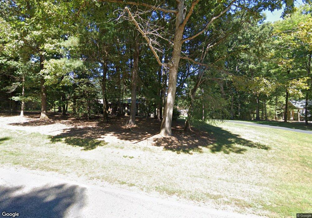
349 Campbell Rd North Wilkesboro, NC 28659
Estimated Value: $147,000 - $241,533
2
Beds
1
Bath
1,075
Sq Ft
$181/Sq Ft
Est. Value
About This Home
This home is located at 349 Campbell Rd, North Wilkesboro, NC 28659 and is currently estimated at $194,633, approximately $181 per square foot. 349 Campbell Rd is a home located in Wilkes County with nearby schools including Mountain View Elementary School, North Wilkes Middle School, and North Wilkes High School.
Ownership History
Date
Name
Owned For
Owner Type
Purchase Details
Closed on
May 25, 2022
Sold by
Burchette Dudley Aaron
Bought by
Burchette Lonnie Dane and Burchette Rebecca Lunsford
Current Estimated Value
Home Financials for this Owner
Home Financials are based on the most recent Mortgage that was taken out on this home.
Original Mortgage
$113,957
Outstanding Balance
$105,695
Interest Rate
5%
Mortgage Type
New Conventional
Estimated Equity
$88,938
Purchase Details
Closed on
Jun 12, 2009
Bought by
Burchette Lonnie D and Burchette Dudley A
Create a Home Valuation Report for This Property
The Home Valuation Report is an in-depth analysis detailing your home's value as well as a comparison with similar homes in the area
Home Values in the Area
Average Home Value in this Area
Purchase History
| Date | Buyer | Sale Price | Title Company |
|---|---|---|---|
| Burchette Lonnie Dane | -- | None Listed On Document | |
| Burchette Lonnie Dane | -- | None Listed On Document | |
| Burchette Lonnie D | -- | -- |
Source: Public Records
Mortgage History
| Date | Status | Borrower | Loan Amount |
|---|---|---|---|
| Open | Burchette Lonnie Dane | $113,957 | |
| Closed | Burchette Lonnie Dane | $113,957 |
Source: Public Records
Tax History Compared to Growth
Tax History
| Year | Tax Paid | Tax Assessment Tax Assessment Total Assessment is a certain percentage of the fair market value that is determined by local assessors to be the total taxable value of land and additions on the property. | Land | Improvement |
|---|---|---|---|---|
| 2024 | $2,924 | $117,530 | $101,610 | $15,920 |
| 2023 | $857 | $137,840 | $106,110 | $31,730 |
| 2022 | $1,005 | $137,840 | $106,110 | $31,730 |
| 2021 | $1,020 | $137,840 | $106,110 | $31,730 |
| 2020 | $1,020 | $137,840 | $106,110 | $31,730 |
| 2019 | $102,001 | $137,840 | $106,110 | $31,730 |
| 2018 | $0 | $131,070 | $0 | $0 |
| 2017 | $983 | $131,070 | $0 | $0 |
| 2016 | $944 | $131,070 | $0 | $0 |
| 2015 | $970 | $131,070 | $0 | $0 |
| 2014 | $970 | $131,070 | $0 | $0 |
Source: Public Records
Map
Nearby Homes
- TBD Johnson Rd
- TBD #1 Johnson Rd
- 284 Rollingwood Dr
- TBD Ridge Top Rd
- TBD River Road Liberty Grove Church Rd
- 2402 Rock Creek Ch Rd
- 000 Little Mountain Church Rd
- TBD River Rd Liberty Grove Rd
- Lots 5, 6 River Road Liberty Grove Church Rd
- 4750 Rock Creek Rd
- 340 Vista Ln
- 394 Rainbow Trout Dr
- Lot 1 Holder St
- Lot 13 Mountain View Rd
- 158 Cottontail Ln
- TBD Scott St
- TBD Rr Ruritan Club Rd
- 921 Maple Grove Church Rd
- 556 Traphill Rd
- Lot 12 Smith Ridgecrest Rd
- 614 Key Ridge Rd
- 387 Mccrary Ln
- 542 Key Ridge Rd
- 347 Campbell Rd
- 575 Campbell Rd
- 475 Campbell Rd
- 411 Key Ridge Rd
- 295 Campbell Rd
- 195 Campbell Rd
- 270 Richardson Ln
- 661 Campbell Rd
- 233 Silver Pine Ln
- 244 Church Park Rd
- 713 Campbell Rd
- 185 Silver Pine Ln
- 298 Campbell Rd
- 185 Silver Pine
- TBD Silver Pine
- 182 Silver Pine Ln
- 480 Basset Hound Ln
