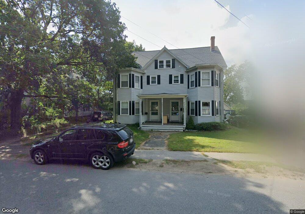
349 Commonwealth Ave Concord, MA 01742
Estimated Value: $566,000 - $830,000
3
Beds
1
Bath
1,232
Sq Ft
$550/Sq Ft
Est. Value
About This Home
This home is located at 349 Commonwealth Ave, Concord, MA 01742 and is currently estimated at $677,705, approximately $550 per square foot. 349 Commonwealth Ave is a home located in Middlesex County with nearby schools including Thoreau Elementary School, Concord Middle School, and Concord Carlisle High School.
Ownership History
Date
Name
Owned For
Owner Type
Purchase Details
Closed on
Dec 29, 1995
Sold by
Palma Donald L
Bought by
Lange David E
Current Estimated Value
Home Financials for this Owner
Home Financials are based on the most recent Mortgage that was taken out on this home.
Original Mortgage
$124,000
Outstanding Balance
$3,359
Interest Rate
7.33%
Mortgage Type
Purchase Money Mortgage
Estimated Equity
$674,346
Create a Home Valuation Report for This Property
The Home Valuation Report is an in-depth analysis detailing your home's value as well as a comparison with similar homes in the area
Home Values in the Area
Average Home Value in this Area
Purchase History
| Date | Buyer | Sale Price | Title Company |
|---|---|---|---|
| Lange David E | $155,000 | -- |
Source: Public Records
Mortgage History
| Date | Status | Borrower | Loan Amount |
|---|---|---|---|
| Open | Lange David E | $124,000 |
Source: Public Records
Tax History
| Year | Tax Paid | Tax Assessment Tax Assessment Total Assessment is a certain percentage of the fair market value that is determined by local assessors to be the total taxable value of land and additions on the property. | Land | Improvement |
|---|---|---|---|---|
| 2025 | $79 | $594,000 | $0 | $594,000 |
| 2024 | $7,585 | $577,700 | $0 | $577,700 |
| 2023 | $7,256 | $559,900 | $0 | $559,900 |
| 2022 | $7,213 | $488,700 | $0 | $488,700 |
| 2021 | $6,175 | $419,500 | $0 | $419,500 |
| 2020 | $5,969 | $419,500 | $0 | $419,500 |
| 2019 | $5,896 | $415,500 | $0 | $415,500 |
| 2018 | $5,444 | $381,000 | $0 | $381,000 |
| 2017 | $5,565 | $395,500 | $0 | $395,500 |
| 2016 | $5,084 | $365,200 | $0 | $365,200 |
| 2015 | $4,883 | $341,700 | $0 | $341,700 |
Source: Public Records
Map
Nearby Homes
- 42 Sunnyside Ln
- 54 Maple St
- 67 Conant St
- 79-81 Assabet Ave
- 116 Conant St
- 32 Highland St
- 95 Conant St Unit 320
- 102 Highland St
- 245 Oak Hill Cir
- 22 Center Village Dr
- 21 Concord Greene Unit 8
- 70 McCallar Ln
- 111 Central St
- 16 Concord Greene Unit 5
- 66 Old Stow Rd
- 53 Prairie St
- 47 Bridgecourt Ln
- 65 Summit St
- 55 Staffordshire Ln Unit B
- 51 Staffordshire Ln
- 351 Commonwealth Ave Unit 351
- 351 Commonwealth Ave
- 351 Commonwealth Ave
- 355 Commonwealth Ave Unit 1
- 355 Commonwealth Ave
- 357 Commonwealth Ave
- 343 Commonwealth Ave
- 336-338 Commonwealth Ave Unit 2
- 338 Commonwealth Ave
- 335 Commonwealth Ave
- 336 Commonwealth Ave Unit 1
- 336 Commonwealth Ave
- 336 Commonwealth Ave Unit 2
- 336 Commonwealth Ave Unit 3
- 330 Commonwealth Ave Unit B
- 330 Commonwealth Ave Unit A
- 330 Commonwealth Ave Unit 2
- 330 Commonwealth Ave Unit 330-A
- 330 Commonwealth Ave Unit 330-B
- 327 Commonwealth Ave
Your Personal Tour Guide
Ask me questions while you tour the home.