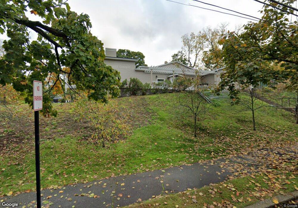
349 Dedham St Newton, MA 02459
Newton Highlands Neighborhood
4
Beds
3
Baths
4,006
Sq Ft
0.77
Acres
About This Home
This home is located at 349 Dedham St, Newton, MA 02459. 349 Dedham St is a home located in Middlesex County with nearby schools including Countryside Elementary School, Charles E Brown Middle School, and Newton South High School.
Ownership History
Date
Name
Owned For
Owner Type
Purchase Details
Closed on
Feb 17, 2005
Sold by
Neiman Adam C and Muina Elsa Natalia
Bought by
Chabad Lubavitch Inc
Home Financials for this Owner
Home Financials are based on the most recent Mortgage that was taken out on this home.
Original Mortgage
$700,000
Outstanding Balance
$356,501
Interest Rate
5.78%
Mortgage Type
Commercial
Purchase Details
Closed on
Jan 13, 2005
Sold by
Neiman Adam C
Bought by
Neiman Adam C and Neiman Elsa Natalia
Home Financials for this Owner
Home Financials are based on the most recent Mortgage that was taken out on this home.
Original Mortgage
$700,000
Outstanding Balance
$356,501
Interest Rate
5.78%
Mortgage Type
Commercial
Purchase Details
Closed on
Mar 28, 1997
Sold by
Rex Patricia H
Bought by
Neiman Adam C
Home Financials for this Owner
Home Financials are based on the most recent Mortgage that was taken out on this home.
Original Mortgage
$4,000,000
Interest Rate
7.59%
Mortgage Type
Commercial
Create a Home Valuation Report for This Property
The Home Valuation Report is an in-depth analysis detailing your home's value as well as a comparison with similar homes in the area
Home Values in the Area
Average Home Value in this Area
Purchase History
| Date | Buyer | Sale Price | Title Company |
|---|---|---|---|
| Chabad Lubavitch Inc | $941,000 | -- | |
| Neiman Adam C | -- | -- | |
| Neiman Adam C | $525,000 | -- |
Source: Public Records
Mortgage History
| Date | Status | Borrower | Loan Amount |
|---|---|---|---|
| Open | Chabad Lubavitch Inc | $700,000 | |
| Previous Owner | Neiman Adam C | $150,000 | |
| Previous Owner | Neiman Adam C | $70,000 | |
| Previous Owner | Neiman Adam C | $4,000,000 |
Source: Public Records
Tax History Compared to Growth
Tax History
| Year | Tax Paid | Tax Assessment Tax Assessment Total Assessment is a certain percentage of the fair market value that is determined by local assessors to be the total taxable value of land and additions on the property. | Land | Improvement |
|---|---|---|---|---|
| 2025 | -- | $5,642,500 | $619,500 | $5,023,000 |
| 2024 | -- | $5,642,500 | $619,500 | $5,023,000 |
| 2023 | $0 | $5,305,900 | $619,500 | $4,686,400 |
| 2022 | $0 | $5,007,900 | $619,500 | $4,388,400 |
| 2021 | $0 | $5,007,900 | $619,500 | $4,388,400 |
| 2020 | $0 | $5,007,900 | $619,500 | $4,388,400 |
| 2019 | $0 | $5,007,900 | $619,500 | $4,388,400 |
| 2018 | $6,983 | $4,081,300 | $619,500 | $3,461,800 |
| 2017 | -- | $4,081,300 | $619,500 | $3,461,800 |
| 2016 | -- | $4,081,300 | $619,500 | $3,461,800 |
| 2015 | -- | $4,055,500 | $619,500 | $3,436,000 |
Source: Public Records
Map
Nearby Homes
- 15 Buff Cir
- 415 Dedham St Unit D
- 36 Cannon St
- 250 Woodcliff Rd
- 51 Carl St
- 58 Country Club Rd
- 45 Brandeis Rd
- 36 Roland St
- 128 Charlemont St
- 116 Upland Ave
- 19 Selwyn Rd
- 65 Levbert Rd
- 1308 Walnut St
- 207 Nahanton St Unit 207
- 1292 Walnut St
- 35 Haynes Rd
- 125 Oakdale Rd
- 21 Philbrick Rd
- 628 Boylston St
- 671 Boylston St