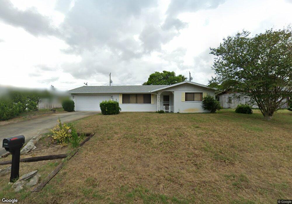
349 Fordham Dr Daytona Beach, FL 32118
Estimated Value: $318,781 - $430,000
3
Beds
2
Baths
1,498
Sq Ft
$263/Sq Ft
Est. Value
About This Home
This home is located at 349 Fordham Dr, Daytona Beach, FL 32118 and is currently estimated at $394,445, approximately $263 per square foot. 349 Fordham Dr is a home located in Volusia County with nearby schools including Edgewater Elementary School, Ormond Beach Middle School, and Seabreeze High School.
Ownership History
Date
Name
Owned For
Owner Type
Purchase Details
Closed on
Dec 30, 2003
Sold by
Bauso Carol J
Bought by
Kays Charles T
Current Estimated Value
Home Financials for this Owner
Home Financials are based on the most recent Mortgage that was taken out on this home.
Original Mortgage
$158,650
Outstanding Balance
$73,782
Interest Rate
5.82%
Estimated Equity
$320,663
Purchase Details
Closed on
Oct 15, 1991
Bought by
Kays Charles T
Purchase Details
Closed on
Aug 15, 1991
Bought by
Kays Charles T
Purchase Details
Closed on
Oct 15, 1978
Bought by
Kays Charles T
Purchase Details
Closed on
Aug 15, 1972
Bought by
Kays Charles T
Create a Home Valuation Report for This Property
The Home Valuation Report is an in-depth analysis detailing your home's value as well as a comparison with similar homes in the area
Home Values in the Area
Average Home Value in this Area
Purchase History
| Date | Buyer | Sale Price | Title Company |
|---|---|---|---|
| Kays Charles T | $175,000 | -- | |
| Kays Charles T | $100 | -- | |
| Kays Charles T | $86,000 | -- | |
| Kays Charles T | $59,500 | -- | |
| Kays Charles T | $37,000 | -- |
Source: Public Records
Mortgage History
| Date | Status | Borrower | Loan Amount |
|---|---|---|---|
| Open | Kays Charles T | $158,650 |
Source: Public Records
Tax History Compared to Growth
Tax History
| Year | Tax Paid | Tax Assessment Tax Assessment Total Assessment is a certain percentage of the fair market value that is determined by local assessors to be the total taxable value of land and additions on the property. | Land | Improvement |
|---|---|---|---|---|
| 2025 | $1,771 | $149,695 | -- | -- |
| 2024 | $1,771 | $145,477 | -- | -- |
| 2023 | $1,771 | $141,240 | $0 | $0 |
| 2022 | $1,720 | $137,126 | $0 | $0 |
| 2021 | $1,753 | $133,132 | $0 | $0 |
| 2020 | $1,721 | $131,294 | $0 | $0 |
| 2019 | $1,693 | $128,342 | $0 | $0 |
| 2018 | $1,703 | $125,949 | $0 | $0 |
| 2017 | $1,719 | $123,358 | $0 | $0 |
| 2016 | $1,748 | $120,821 | $0 | $0 |
| 2015 | $1,815 | $119,981 | $0 | $0 |
| 2014 | $1,812 | $119,029 | $0 | $0 |
Source: Public Records
Map
Nearby Homes
- 345 Emory Dr
- 3011 N Oleander Ave
- 307 Emory Dr
- 3040 Princeton Ave
- 3041 N Oleander Ave
- 324 Plaza Blvd
- 2711 N Halifax Ave Unit 375
- 2711 N Halifax Ave Unit 382
- 2711 N Halifax Ave Unit 196
- 2711 N Halifax Ave Unit 463
- 2711 N Halifax Ave Unit 789
- 2711 N Halifax Ave Unit 380
- 2711 N Halifax Ave Unit 184
- 2711 N Halifax Ave Unit 890
- 2711 N Halifax Ave Unit 697
- 2727 N Atlantic Ave Unit 4190
- 2727 N Atlantic Ave Unit 101
- 2727 N Atlantic Ave Unit 409
- 2727 N Atlantic Ave Unit 204
- 2727 N Atlantic Ave Unit 107
- 355 Fordham Dr
- 343 Fordham Dr
- 344 Georgetown Dr
- 348 Georgetown Dr
- 361 Fordham Dr
- 337 Fordham Dr
- 348 Fordham Dr
- 342 Fordham Dr
- 340 Georgetown Dr
- 354 Georgetown Dr
- 352 Fordham Dr
- 336 Fordham Dr
- 358 Fordham Dr
- 331 Fordham Dr
- 334 Georgetown Dr
- 367 Fordham Dr
- 360 Georgetown Dr
- 349 Emory Dr
- 337 Emory Dr
- 333 Georgetown Dr