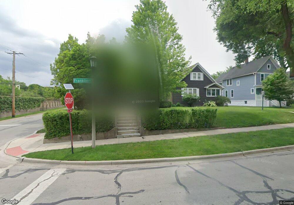
349 Franklin Ave River Forest, IL 60305
Estimated Value: $720,000 - $938,000
3
Beds
2
Baths
2,412
Sq Ft
$346/Sq Ft
Est. Value
About This Home
This home is located at 349 Franklin Ave, River Forest, IL 60305 and is currently estimated at $834,510, approximately $345 per square foot. 349 Franklin Ave is a home located in Cook County with nearby schools including Lincoln Elementary School, Roosevelt Middle School, and Oak Park and River Forest High School.
Ownership History
Date
Name
Owned For
Owner Type
Purchase Details
Closed on
Aug 6, 1999
Sold by
Fumo Donald T
Bought by
Marti Christopher L and Marti Linda M
Current Estimated Value
Home Financials for this Owner
Home Financials are based on the most recent Mortgage that was taken out on this home.
Original Mortgage
$290,000
Outstanding Balance
$76,982
Interest Rate
7.37%
Estimated Equity
$757,528
Purchase Details
Closed on
Dec 4, 1998
Sold by
Corus Bank Na
Bought by
Fumo Donald
Home Financials for this Owner
Home Financials are based on the most recent Mortgage that was taken out on this home.
Original Mortgage
$212,500
Interest Rate
6.96%
Create a Home Valuation Report for This Property
The Home Valuation Report is an in-depth analysis detailing your home's value as well as a comparison with similar homes in the area
Home Values in the Area
Average Home Value in this Area
Purchase History
We collect this data history from publicly available records. To have your information removed, we recommend requesting removal directly through your county’s website.
| Date | Buyer | Sale Price | Title Company |
|---|---|---|---|
| Marti Christopher L | $363,000 | Prairie Title | |
| Fumo Donald | $137,500 | Prairie Title |
Source: Public Records
Mortgage History
We collect this data history from publicly available records. To have your information removed, we recommend requesting removal directly through your county’s website.
| Date | Status | Borrower | Loan Amount |
|---|---|---|---|
| Open | Marti Christopher L | $290,000 | |
| Previous Owner | Fumo Donald | $212,500 |
Source: Public Records
Tax History
| Year | Tax Paid | Tax Assessment Tax Assessment Total Assessment is a certain percentage of the fair market value that is determined by local assessors to be the total taxable value of land and additions on the property. | Land | Improvement |
|---|---|---|---|---|
| 2025 | $17,529 | $66,283 | $8,611 | $57,672 |
| 2024 | $17,529 | $66,283 | $8,611 | $57,672 |
| 2023 | $12,976 | $70,000 | $8,611 | $61,389 |
| 2022 | $12,976 | $46,340 | $7,409 | $38,931 |
| 2021 | $12,547 | $46,339 | $7,409 | $38,930 |
| 2020 | $13,138 | $46,339 | $7,409 | $38,930 |
| 2019 | $14,152 | $49,018 | $6,808 | $42,210 |
| 2018 | $14,084 | $51,360 | $6,808 | $44,552 |
| 2017 | $14,051 | $51,360 | $6,808 | $44,552 |
| 2016 | $12,135 | $40,219 | $5,607 | $34,612 |
| 2015 | $11,881 | $40,219 | $5,607 | $34,612 |
| 2014 | $10,899 | $40,219 | $5,607 | $34,612 |
| 2013 | $12,675 | $47,552 | $5,607 | $41,945 |
Source: Public Records
Map
Nearby Homes
- 410 Franklin Ave
- 411 Ashland Ave Unit 1A
- 415 Park Ave Unit D
- 234 Franklin Ave
- 424 Park Ave Unit 206
- 424 Park Ave Unit 501
- 120 Lathrop Ave
- 121 Des Plaines Ave
- 150 Rockford Ave
- 7415 Dixon St
- 231 Des Plaines Ave
- 514 William St
- 619 Jackson Ave
- 435 William St Unit 802
- 314 Lathrop Ave Unit 407
- 314 Lathrop Ave Unit 402
- 314 Lathrop Ave Unit 406
- 314 Lathrop Ave Unit 604
- 314 Lathrop Ave Unit 507
- 17 Franklin Ave
- 347 Franklin Ave
- 343 Franklin Ave
- 339 Franklin Ave
- 335 Franklin Ave
- 348 Ashland Ave
- 346 Ashland Ave
- 344 Ashland Ave
- 333 Franklin Ave
- 342 Ashland Ave
- 348 Franklin Ave
- 346 Franklin Ave
- 338 Ashland Ave
- 329 Franklin Ave
- 334 Ashland Ave
- 334 Franklin Ave
- 402 Franklin Ave Unit 9
- 402 Franklin Ave Unit 3
- 402 Franklin Ave Unit 2
- 325 Franklin Ave
- 328 Ashland Ave
Your Personal Tour Guide
Ask me questions while you tour the home.