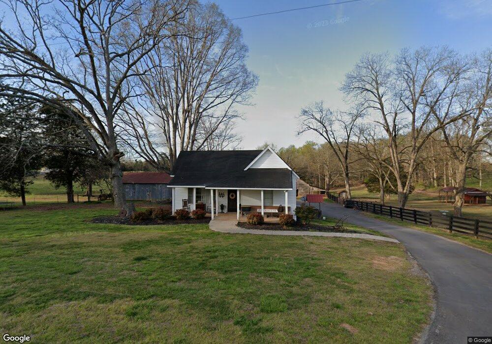
349 Groaning Rock Rd Commerce, GA 30530
Estimated Value: $279,490 - $476,000
Studio
1
Bath
1,298
Sq Ft
$259/Sq Ft
Est. Value
About This Home
This home is located at 349 Groaning Rock Rd, Commerce, GA 30530 and is currently estimated at $335,623, approximately $258 per square foot. 349 Groaning Rock Rd is a home located in Jackson County with nearby schools including East Jackson Elementary School, East Jackson Middle School, and East Jackson Comprehensive High School.
Ownership History
Date
Name
Owned For
Owner Type
Purchase Details
Closed on
Oct 22, 2007
Sold by
Not Provided
Bought by
Whitfield Justin K and Whitfield Samantha L
Current Estimated Value
Home Financials for this Owner
Home Financials are based on the most recent Mortgage that was taken out on this home.
Original Mortgage
$105,937
Outstanding Balance
$66,340
Interest Rate
6.27%
Mortgage Type
FHA
Estimated Equity
$269,283
Create a Home Valuation Report for This Property
The Home Valuation Report is an in-depth analysis detailing your home's value as well as a comparison with similar homes in the area
Home Values in the Area
Average Home Value in this Area
Purchase History
| Date | Buyer | Sale Price | Title Company |
|---|---|---|---|
| Whitfield Justin K | $107,600 | -- |
Source: Public Records
Mortgage History
| Date | Status | Borrower | Loan Amount |
|---|---|---|---|
| Open | Whitfield Justin K | $105,937 |
Source: Public Records
Tax History
| Year | Tax Paid | Tax Assessment Tax Assessment Total Assessment is a certain percentage of the fair market value that is determined by local assessors to be the total taxable value of land and additions on the property. | Land | Improvement |
|---|---|---|---|---|
| 2024 | $2,514 | $101,000 | $60,000 | $41,000 |
| 2023 | $2,542 | $97,040 | $60,000 | $37,040 |
| 2022 | $1,203 | $41,960 | $20,400 | $21,560 |
| 2021 | $1,212 | $41,960 | $20,400 | $21,560 |
| 2020 | $1,202 | $38,000 | $20,400 | $17,600 |
| 2019 | $1,221 | $38,000 | $20,400 | $17,600 |
| 2018 | $1,216 | $37,320 | $20,400 | $16,920 |
| 2017 | $1,098 | $33,420 | $17,952 | $15,468 |
| 2016 | $1,104 | $33,420 | $17,952 | $15,468 |
| 2015 | $1,109 | $33,420 | $17,952 | $15,468 |
| 2014 | $1,122 | $33,570 | $17,952 | $15,618 |
| 2013 | -- | $33,570 | $17,952 | $15,618 |
Source: Public Records
Map
Nearby Homes
- 0 Groaning Rock Rd Unit 10617824
- 1319 Groaning Rock Rd
- 853 Club Dr
- 1444 Red Cedar Rd
- 1534 Red Cedar Rd
- 1278 Mulberry Chase
- 1254 Mulberry Chase
- 393 W Unit GA 30530
- 1170 Mulberry Chase
- 1652 Red Cedar Rd
- 1334 Joe Bolton Rd
- 883 Harris Lord Cemetery Rd
- 337 Sandy Creek Rd
- 9 W L Williams Rd
- 396 W L Williams Rd
- 399 W L Williams Rd
- 395 W L Williams Rd
- 305 Harmony Gates Dr
- 393 Harmony Gates Dr
- 742 Harmony Gates Dr
- 322 Groaning Rock Rd
- 389 Groaning Rock Rd
- 221 Groaning Rock Rd
- 59 Dunson Ln
- 391 Groaning Rock Rd
- 2833 Highway 334
- 548 Groaning Rock Rd
- 559 Groaning Rock Rd
- 155 Groaning Rock Rd
- 488 Groaning Rock Rd
- 598 Groaning Rock Rd
- 44 Groaning Rock Rd
- 305 Groaning Rock Ln
- 484 Groaning Rock Rd
- 631 Groaning Rock Rd
- 269 Groaning Rock Ln
- 215 Dunson Cemetery Cir
- 23 Groaning Rock Rd
- 690 Groaning Rock Rd
- 695 Groaning Rock Rd
Your Personal Tour Guide
Ask me questions while you tour the home.