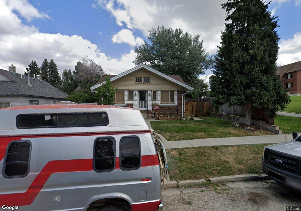
349 High St Buffalo, WY 82834
Estimated Value: $312,000 - $370,170
2
Beds
2
Baths
1,188
Sq Ft
$290/Sq Ft
Est. Value
About This Home
This home is located at 349 High St, Buffalo, WY 82834 and is currently estimated at $345,043, approximately $290 per square foot. 349 High St is a home located in Johnson County with nearby schools including Meadowlark Elementary School, Cloud Peak Elementary School, and Clear Creek Middle School.
Ownership History
Date
Name
Owned For
Owner Type
Purchase Details
Closed on
Oct 15, 2020
Sold by
Sawyer Jeff T and Wright Sawyer Amy
Bought by
Sawyer Jeff T and Wright Sawyer Amy
Current Estimated Value
Home Financials for this Owner
Home Financials are based on the most recent Mortgage that was taken out on this home.
Original Mortgage
$126,000
Outstanding Balance
$90,561
Interest Rate
2.9%
Mortgage Type
New Conventional
Estimated Equity
$254,482
Purchase Details
Closed on
Jun 20, 2012
Sold by
Elsom David M and Elsom Margaret S
Bought by
Sawyer Jeff T and Wright Sawyer Amy L
Home Financials for this Owner
Home Financials are based on the most recent Mortgage that was taken out on this home.
Original Mortgage
$115,000
Interest Rate
3.81%
Mortgage Type
Purchase Money Mortgage
Create a Home Valuation Report for This Property
The Home Valuation Report is an in-depth analysis detailing your home's value as well as a comparison with similar homes in the area
Home Values in the Area
Average Home Value in this Area
Purchase History
| Date | Buyer | Sale Price | Title Company |
|---|---|---|---|
| Sawyer Jeff T | -- | None Available | |
| Sawyer Jeff T | -- | None Available |
Source: Public Records
Mortgage History
| Date | Status | Borrower | Loan Amount |
|---|---|---|---|
| Open | Sawyer Jeff T | $126,000 | |
| Closed | Sawyer Jeff T | $115,000 |
Source: Public Records
Tax History Compared to Growth
Tax History
| Year | Tax Paid | Tax Assessment Tax Assessment Total Assessment is a certain percentage of the fair market value that is determined by local assessors to be the total taxable value of land and additions on the property. | Land | Improvement |
|---|---|---|---|---|
| 2025 | $2,397 | $22,063 | $4,008 | $18,055 |
| 2024 | $2,397 | $31,742 | $5,138 | $26,604 |
| 2023 | $2,365 | $31,378 | $5,138 | $26,240 |
| 2022 | $1,717 | $22,834 | $4,246 | $18,588 |
| 2021 | $1,724 | $19,514 | $4,246 | $15,268 |
| 2020 | $1,426 | $19,253 | $4,246 | $15,007 |
| 2019 | $1,406 | $18,877 | $4,246 | $14,631 |
| 2018 | $1,343 | $18,209 | $4,246 | $13,963 |
| 2017 | $1,338 | $18,364 | $4,557 | $13,807 |
| 2016 | $1,237 | $0 | $0 | $0 |
| 2015 | $918 | $0 | $0 | $0 |
| 2014 | $918 | $0 | $0 | $0 |
Source: Public Records
Map
Nearby Homes
- 293 S Main St
- TBD S Lobban Ave
- 199 Western Ave
- Lot 7 Western Ave
- Lot 8 Western Ave
- 158 Western Ave
- 195 W Gatchell St
- 155 E Keays St
- TBD S Main St
- 5 S Lobban Ave
- 471 & 483 S Tisdale
- 206 Cummings Ave
- 500 W Parmelee St
- 29 N Desmet Ave
- 401 Williams Ave
- 107 N Tisdale Ave
- TBD S Bypass Rd
- 332 N Lobban Ave
- 306 G St
- 343 N Main St
- 335 High St
- 325 High St
- 348 High St
- 338 High St
- 328 High St
- 311 High St
- 390 S Main St
- 350 S Main St
- 330 S Main St
- 314 High St
- 314 High St Unit Parmalee
- 140 W Gatchell St
- 142 W Gatchell St
- 308 S Main St
- 308 S Main St Unit W Parmelee
- 287 High St
- 160 W Gatchell St
- 415 High St
- 271 High St
- 134 W Parmelee St