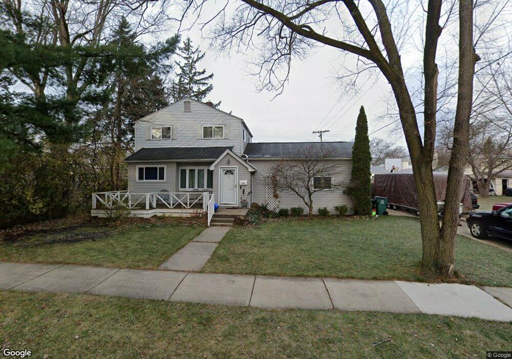
349 Kinross Ave Clawson, MI 48017
Estimated Value: $285,960 - $323,000
3
Beds
2
Baths
1,247
Sq Ft
$245/Sq Ft
Est. Value
About This Home
This home is located at 349 Kinross Ave, Clawson, MI 48017 and is currently estimated at $304,990, approximately $244 per square foot. 349 Kinross Ave is a home located in Oakland County with nearby schools including Clawson Middle School, Clawson High School, and Japhet School.
Ownership History
Date
Name
Owned For
Owner Type
Purchase Details
Closed on
Dec 29, 2023
Sold by
Zagar Jeanine
Bought by
Jeanine Zagar Trust and Zagar
Current Estimated Value
Purchase Details
Closed on
May 31, 2007
Sold by
Parker Gary C and Parker Jennifer
Bought by
Henson Jeanine
Purchase Details
Closed on
Mar 31, 1998
Sold by
Norman Charles F
Bought by
Parker Gary C
Purchase Details
Closed on
Jul 28, 1997
Sold by
Whiteley Henry Lloyd
Bought by
Norman Charles F
Home Financials for this Owner
Home Financials are based on the most recent Mortgage that was taken out on this home.
Original Mortgage
$55,000
Interest Rate
7.71%
Create a Home Valuation Report for This Property
The Home Valuation Report is an in-depth analysis detailing your home's value as well as a comparison with similar homes in the area
Home Values in the Area
Average Home Value in this Area
Purchase History
| Date | Buyer | Sale Price | Title Company |
|---|---|---|---|
| Jeanine Zagar Trust | -- | None Listed On Document | |
| Henson Jeanine | $159,900 | Metro West Title Agency | |
| Parker Gary C | $130,000 | -- | |
| Norman Charles F | $55,000 | -- |
Source: Public Records
Mortgage History
| Date | Status | Borrower | Loan Amount |
|---|---|---|---|
| Previous Owner | Norman Charles F | $55,000 |
Source: Public Records
Tax History
| Year | Tax Paid | Tax Assessment Tax Assessment Total Assessment is a certain percentage of the fair market value that is determined by local assessors to be the total taxable value of land and additions on the property. | Land | Improvement |
|---|---|---|---|---|
| 2025 | $2,626 | $130,740 | $0 | $0 |
| 2024 | $2,509 | $123,520 | $0 | $0 |
| 2023 | $2,406 | $113,340 | $0 | $0 |
| 2022 | $2,424 | $103,660 | $0 | $0 |
| 2021 | $2,375 | $94,450 | $0 | $0 |
| 2020 | $2,301 | $87,310 | $0 | $0 |
| 2019 | $2,377 | $80,510 | $0 | $0 |
| 2018 | $2,361 | $70,030 | $0 | $0 |
| 2017 | $3,421 | $65,890 | $0 | $0 |
| 2016 | $2,382 | $60,490 | $0 | $0 |
| 2015 | -- | $54,830 | $0 | $0 |
| 2014 | -- | $48,060 | $0 | $0 |
| 2011 | -- | $46,230 | $0 | $0 |
Source: Public Records
Map
Nearby Homes
- 310 N Marias Ave
- 609 John M Ave
- 674 Langley Blvd
- 135 Gerald Ave
- 4921 N Crooks Rd Unit N-10
- 4909 Crooks Rd Unit D6
- 4909 Crooks Rd Unit 4
- 930 Elmsford Dr
- 5065 Crooks Rd Unit 49
- 4905 Crooks A2 Rd
- 4921 Crooks Rd Unit M-10
- 4921 Crooks Rd Unit N 3
- 542 S Manitou Ave
- 101 Jefferson Ave
- 57 W Elmwood Ave
- 2130 Wickham St Unit 4
- 4905 Coventry St
- 4401 Crooks Rd
- 44 W Tacoma St
- 917 Kenwood St
- 405 Kinross Ave
- 352 N Marias Ave
- 360 N Marias Ave
- 342 N Marias Ave
- 413 Kinross Ave
- 325 Kinross Ave
- 334 N Marias Ave
- 410 N Marias Ave
- 350 Kinross Ave
- 344 Kinross Ave
- 324 N Marias Ave
- 317 Kinross Ave
- 423 Kinross Ave
- 404 Kinross Ave
- 334 Kinross Ave
- 420 N Marias Ave
- 342 Kinross Ave
- 326 Kinross Ave
- 414 Kinross Ave
- 314 N Marias Ave
Your Personal Tour Guide
Ask me questions while you tour the home.