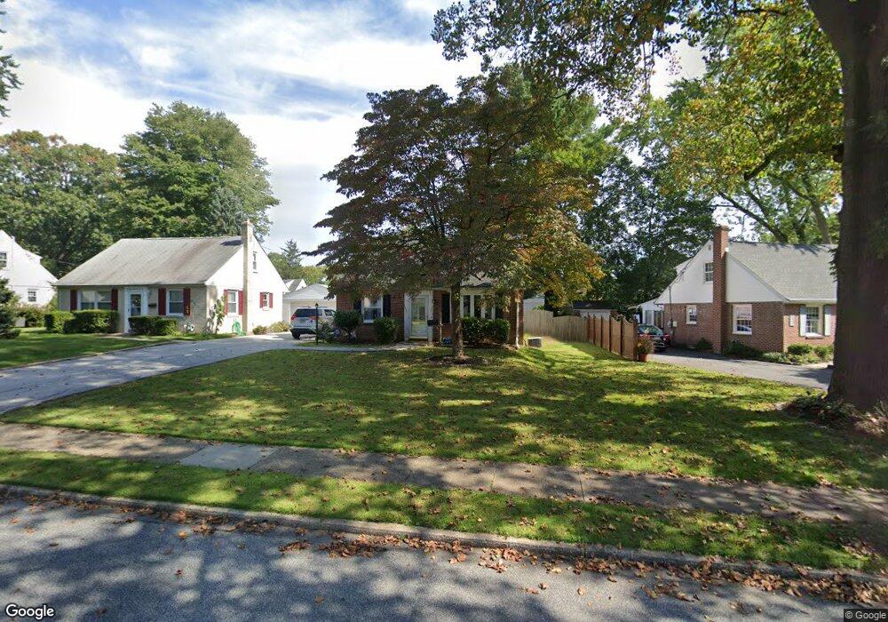
349 Lynn Rd Springfield, PA 19064
Estimated Value: $444,514 - $485,000
3
Beds
2
Baths
1,527
Sq Ft
$305/Sq Ft
Est. Value
About This Home
This home is located at 349 Lynn Rd, Springfield, PA 19064 and is currently estimated at $465,879, approximately $305 per square foot. 349 Lynn Rd is a home located in Delaware County with nearby schools including Springfield High School, St Francis Of Assisi School, and Holy Cross School.
Ownership History
Date
Name
Owned For
Owner Type
Purchase Details
Closed on
Aug 31, 2008
Sold by
Long Daniel P
Bought by
Rysak Raymond C and Rysak Melissa
Current Estimated Value
Home Financials for this Owner
Home Financials are based on the most recent Mortgage that was taken out on this home.
Original Mortgage
$281,869
Outstanding Balance
$184,571
Interest Rate
6.54%
Mortgage Type
FHA
Estimated Equity
$281,308
Purchase Details
Closed on
Nov 16, 2007
Sold by
Gallo Michael John and Gallo Linda Marie
Bought by
Long Daniel P
Home Financials for this Owner
Home Financials are based on the most recent Mortgage that was taken out on this home.
Original Mortgage
$256,500
Interest Rate
6.27%
Mortgage Type
Purchase Money Mortgage
Purchase Details
Closed on
Apr 21, 1998
Sold by
Gallo Michael John
Bought by
Gallo Michael John and Gallo Linda Marie
Create a Home Valuation Report for This Property
The Home Valuation Report is an in-depth analysis detailing your home's value as well as a comparison with similar homes in the area
Home Values in the Area
Average Home Value in this Area
Purchase History
| Date | Buyer | Sale Price | Title Company |
|---|---|---|---|
| Rysak Raymond C | $287,000 | None Available | |
| Long Daniel P | $270,000 | None Available | |
| Gallo Michael John | -- | -- |
Source: Public Records
Mortgage History
| Date | Status | Borrower | Loan Amount |
|---|---|---|---|
| Open | Rysak Raymond C | $281,869 | |
| Previous Owner | Long Daniel P | $256,500 |
Source: Public Records
Tax History
| Year | Tax Paid | Tax Assessment Tax Assessment Total Assessment is a certain percentage of the fair market value that is determined by local assessors to be the total taxable value of land and additions on the property. | Land | Improvement |
|---|---|---|---|---|
| 2025 | $7,162 | $254,820 | $94,540 | $160,280 |
| 2024 | $7,162 | $254,820 | $94,540 | $160,280 |
| 2023 | $6,896 | $254,820 | $94,540 | $160,280 |
| 2022 | $6,747 | $254,820 | $94,540 | $160,280 |
| 2021 | $10,449 | $254,820 | $94,540 | $160,280 |
| 2020 | $5,328 | $117,570 | $45,440 | $72,130 |
| 2019 | $5,203 | $117,570 | $45,440 | $72,130 |
| 2018 | $5,128 | $117,570 | $0 | $0 |
| 2017 | $5,009 | $117,570 | $0 | $0 |
| 2016 | $645 | $117,570 | $0 | $0 |
| 2015 | $658 | $117,570 | $0 | $0 |
| 2014 | $645 | $117,570 | $0 | $0 |
Source: Public Records
Map
Nearby Homes
- 211 S Norwinden Dr
- 173 Rambling Way
- 332 Franklin Ave
- 226 Lynbrooke Rd
- 208 Harwicke Rd
- 34 Schuyler Rd
- 0 N Bishop Ave
- 5358 Delmar Dr
- 29 School Ln
- 111 Broad St
- 19 Wayne Ave
- 5331 Brittany Dr
- 246 Pennington Ave
- 207 N Bishop Ave
- 31 Wayfield Rd
- 364 S Rolling Rd
- 233 N Bishop Ave
- 472 Larchwood Rd
- 173 Hillview Dr
- 401 N Sycamore Ave