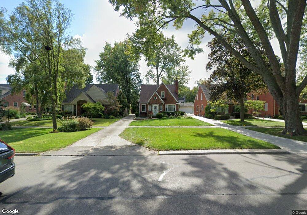
349 Moross Rd Grosse Pointe Farms, MI 48236
Estimated Value: $354,000 - $381,000
--
Bed
2
Baths
1,618
Sq Ft
$230/Sq Ft
Est. Value
About This Home
This home is located at 349 Moross Rd, Grosse Pointe Farms, MI 48236 and is currently estimated at $372,415, approximately $230 per square foot. 349 Moross Rd is a home located in Wayne County with nearby schools including Kerby Elementary School, Brownell Middle School, and Grosse Pointe South High School.
Ownership History
Date
Name
Owned For
Owner Type
Purchase Details
Closed on
Dec 7, 2016
Sold by
Mack Linda and Omowale Nia C
Bought by
Mack Linda and Linda Mack Revocable Trust
Current Estimated Value
Purchase Details
Closed on
Nov 17, 2006
Sold by
Lawrence Stalker Jennifer Lynn and Stalker Marshall E
Bought by
Mack Linda
Purchase Details
Closed on
Oct 20, 1995
Sold by
Stalker Marshall E and Stalker Jen
Bought by
Lawrence Stalker Marshall E Stalker
Create a Home Valuation Report for This Property
The Home Valuation Report is an in-depth analysis detailing your home's value as well as a comparison with similar homes in the area
Home Values in the Area
Average Home Value in this Area
Purchase History
| Date | Buyer | Sale Price | Title Company |
|---|---|---|---|
| Mack Linda | -- | None Available | |
| Mack Linda | $222,500 | None Available | |
| Lawrence Stalker Marshall E Stalker | $133,900 | -- |
Source: Public Records
Tax History Compared to Growth
Tax History
| Year | Tax Paid | Tax Assessment Tax Assessment Total Assessment is a certain percentage of the fair market value that is determined by local assessors to be the total taxable value of land and additions on the property. | Land | Improvement |
|---|---|---|---|---|
| 2025 | $2,591 | $166,000 | $0 | $0 |
| 2024 | $2,591 | $153,600 | $0 | $0 |
| 2023 | $2,374 | $140,200 | $0 | $0 |
| 2022 | $2,374 | $129,100 | $0 | $0 |
| 2021 | $4,356 | $118,700 | $0 | $0 |
| 2019 | $4,283 | $105,900 | $0 | $0 |
| 2018 | $2,192 | $102,000 | $0 | $0 |
| 2017 | $3,803 | $99,300 | $0 | $0 |
| 2016 | $3,987 | $97,400 | $0 | $0 |
| 2015 | $7,897 | $87,200 | $0 | $0 |
| 2013 | $7,650 | $76,500 | $0 | $0 |
| 2012 | $2,034 | $76,500 | $19,500 | $57,000 |
Source: Public Records
Map
Nearby Homes
- 343 Beaupre Ave
- 419 Maison Rd
- 351 Moselle Place
- 265 Williams Ave
- 432 Calvin Ave
- 450 Roland Rd
- 471 Touraine Rd
- 410 Roland Ct
- 441 Manor St
- 5056 Lafontaine St
- 486 Bournemouth Rd
- 22200 Moross Rd
- 5228 Hillcrest St
- 273 Ridge Rd
- 5047 Anatole St
- 415 Lothrop Rd
- 257 Ridge Rd
- 314 Mount Vernon Ave
- 19000 Chandler Park Dr
- 302 Mount Vernon Ave
- 347 Moross Rd
- 351 Moross Rd
- 353 Moross Rd
- 343 Moross Rd
- 345 Williams Ave
- 350 Hillcrest Ave
- 355 Moross Rd
- 348 Hillcrest Ave
- 354 Hillcrest Ave
- 346 Hillcrest Ave
- 357 Moross Rd
- 356 Hillcrest Ave
- 340 Hillcrest Ave
- 358 Hillcrest Ave
- 359 Moross Rd
- 350 Williams Ave
- 360 Hillcrest Ave
- 363 Moross Rd
- 336 Hillcrest Ave
- 333 Moross Rd