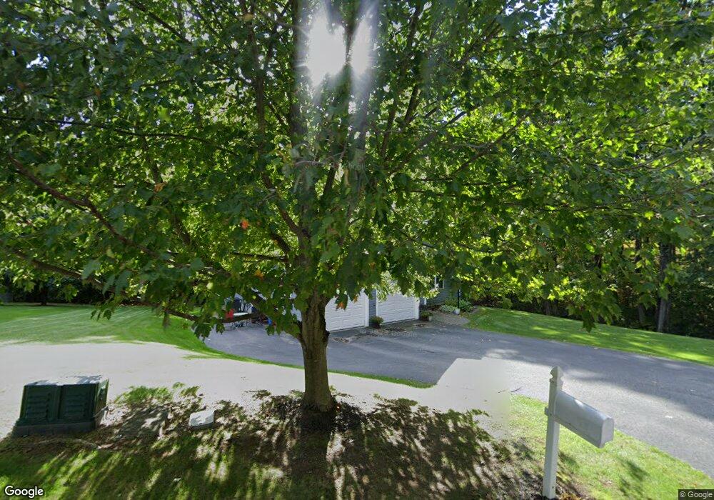
349 Nicholas Dr Lancaster, MA 01523
Estimated Value: $665,000 - $733,000
2
Beds
2
Baths
1,800
Sq Ft
$389/Sq Ft
Est. Value
About This Home
This home is located at 349 Nicholas Dr, Lancaster, MA 01523 and is currently estimated at $699,724, approximately $388 per square foot. 349 Nicholas Dr is a home located in Worcester County with nearby schools including Mary Rowlandson Elementary School, Luther Burbank Middle School, and Nashoba Regional High School.
Ownership History
Date
Name
Owned For
Owner Type
Purchase Details
Closed on
Jun 4, 2018
Sold by
Parisi Ft
Bought by
R & M Irt
Current Estimated Value
Purchase Details
Closed on
Nov 17, 2009
Sold by
Parisi Robert L and Parisi Mary Ellen
Bought by
Parisi Tr Robert L and Parisi Mary Ellen
Purchase Details
Closed on
Aug 8, 2005
Sold by
Eagle Est Llc
Bought by
Parisi Mary Ellen and Parisi Robert L
Home Financials for this Owner
Home Financials are based on the most recent Mortgage that was taken out on this home.
Original Mortgage
$150,000
Interest Rate
5.63%
Mortgage Type
Purchase Money Mortgage
Purchase Details
Closed on
Jul 29, 2005
Sold by
Eagle Ests Llc
Bought by
Shea Jeanne P and Shea Stephen J
Home Financials for this Owner
Home Financials are based on the most recent Mortgage that was taken out on this home.
Original Mortgage
$150,000
Interest Rate
5.63%
Mortgage Type
Purchase Money Mortgage
Create a Home Valuation Report for This Property
The Home Valuation Report is an in-depth analysis detailing your home's value as well as a comparison with similar homes in the area
Home Values in the Area
Average Home Value in this Area
Purchase History
| Date | Buyer | Sale Price | Title Company |
|---|---|---|---|
| R & M Irt | -- | -- | |
| Parisi Tr Robert L | -- | -- | |
| Parisi Mary Ellen | $389,900 | -- | |
| Shea Jeanne P | $425,000 | -- |
Source: Public Records
Mortgage History
| Date | Status | Borrower | Loan Amount |
|---|---|---|---|
| Previous Owner | Parisi Mary Ellen | $150,000 |
Source: Public Records
Tax History Compared to Growth
Tax History
| Year | Tax Paid | Tax Assessment Tax Assessment Total Assessment is a certain percentage of the fair market value that is determined by local assessors to be the total taxable value of land and additions on the property. | Land | Improvement |
|---|---|---|---|---|
| 2025 | $10,115 | $625,900 | $67,000 | $558,900 |
| 2024 | $9,900 | $567,000 | $53,700 | $513,300 |
| 2023 | $9,155 | $532,600 | $49,700 | $482,900 |
| 2022 | $8,760 | $450,400 | $84,000 | $366,400 |
| 2021 | $8,454 | $423,100 | $84,000 | $339,100 |
| 2020 | $8,013 | $403,700 | $65,500 | $338,200 |
| 2019 | $7,862 | $398,100 | $94,400 | $303,700 |
| 2018 | $7,163 | $358,500 | $94,400 | $264,100 |
| 2016 | $7,370 | $377,000 | $137,800 | $239,200 |
| 2015 | $6,984 | $372,300 | $137,800 | $234,500 |
| 2014 | $6,783 | $358,700 | $137,800 | $220,900 |
Source: Public Records
Map
Nearby Homes
- 1116 George Hill Rd
- 0 Brockelman Rd Unit 73424117
- 18 Highfield Dr
- 54 S Meadow Rd
- 73 Prescott St
- 96 Clinton Rd
- 23 Bennett Ln
- 121 &125 Flanagan Hill Rd
- 0 Parker Rd
- 92 Mill St
- 132 Kilbourn Rd
- 17 Turtle Ln Unit 17
- 2 Turtle Ln Unit 2
- 6A Patriots Way Unit 37
- 5 Catherine St
- 134 Leominster Rd
- 229 Sterling St
- 51 Rigby St
- 861 Main St
- 201-203 Stone St
- 357 Nicholas Dr
- 372 Nicholas Dr
- 365 Nicholas Dr
- 390 Nicholas Dr
- 240 Mary Catherine Dr
- 375 Nicholas Dr
- 398 Nicholas Dr
- 222 Mary Catherine Dr
- 230 Mary Catherine Dr
- 256 Mary Catherine Dr
- 256 Mary Catherine Dr Unit 256
- 387 Nicholas Dr
- 408 Nicholas Dr
- 208 Mary Catherine Dr
- 97 Nicholas Dr
- 15 Nicholas Dr
- 121 Nicholas Dr
- Lot 99 Nicholas at Eagle Ridge
- 89 Nicholas Dr
- 23 Nicholas Dr