349 Peter Walker Rd La Crosse, VA 23950
Estimated Value: $68,000 - $115,000
3
Beds
1
Bath
920
Sq Ft
$99/Sq Ft
Est. Value
About This Home
This home is located at 349 Peter Walker Rd, La Crosse, VA 23950 and is currently estimated at $90,979, approximately $98 per square foot. 349 Peter Walker Rd is a home located in Mecklenburg County.
Ownership History
Date
Name
Owned For
Owner Type
Purchase Details
Closed on
Nov 14, 2017
Sold by
Gtc Properties Llc A Virginia Limited L
Bought by
Ogburn Marvin L and Ogburn Cynthia J
Current Estimated Value
Home Financials for this Owner
Home Financials are based on the most recent Mortgage that was taken out on this home.
Original Mortgage
$43,000
Outstanding Balance
$36,032
Interest Rate
3.85%
Mortgage Type
FHA
Estimated Equity
$54,947
Purchase Details
Closed on
Jan 21, 2009
Sold by
The Cit Group Consumer Finance
Bought by
Gtc Properties Llc
Purchase Details
Closed on
Nov 24, 2008
Sold by
Equity Trustees Llc
Bought by
The Cit Group Consumer Finance
Create a Home Valuation Report for This Property
The Home Valuation Report is an in-depth analysis detailing your home's value as well as a comparison with similar homes in the area
Home Values in the Area
Average Home Value in this Area
Purchase History
| Date | Buyer | Sale Price | Title Company |
|---|---|---|---|
| Ogburn Marvin L | $43,000 | Attorney | |
| Gtc Properties Llc | $19,500 | -- | |
| The Cit Group Consumer Finance | $37,175 | -- |
Source: Public Records
Mortgage History
| Date | Status | Borrower | Loan Amount |
|---|---|---|---|
| Open | Ogburn Marvin L | $43,000 |
Source: Public Records
Tax History Compared to Growth
Tax History
| Year | Tax Paid | Tax Assessment Tax Assessment Total Assessment is a certain percentage of the fair market value that is determined by local assessors to be the total taxable value of land and additions on the property. | Land | Improvement |
|---|---|---|---|---|
| 2024 | $148 | $41,100 | $8,500 | $32,600 |
| 2023 | $151 | $37,700 | $8,500 | $29,200 |
| 2022 | $151 | $37,700 | $8,500 | $29,200 |
| 2021 | $150 | $35,700 | $8,500 | $27,200 |
| 2020 | $150 | $35,700 | $8,500 | $27,200 |
| 2019 | $163 | $38,900 | $8,500 | $30,400 |
| 2018 | $163 | $38,900 | $8,500 | $30,400 |
| 2017 | $210 | $50,100 | $8,500 | $41,600 |
| 2016 | $210 | $50,100 | $8,500 | $41,600 |
| 2015 | -- | $50,200 | $8,500 | $41,700 |
| 2013 | -- | $50,200 | $8,500 | $41,700 |
Source: Public Records
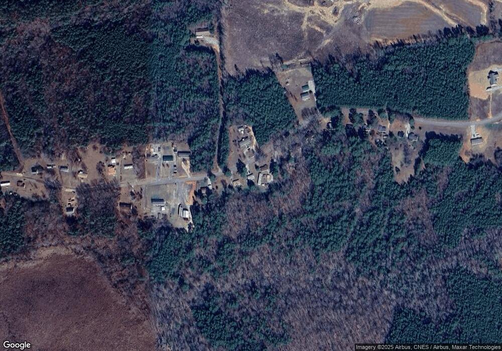
Map
Nearby Homes
- 305 S Carter St
- 0 Highway Fifty-Eight Unit 68721
- 168 Country Ln
- 820 Country Ln
- 860 Country Ln
- 0 Highway 58 Unit 128994
- 0 Maple Lane (8 9 Acres) Unit 135621
- 00 Maple Ln
- 821 Northington St
- 726 E Northington St
- 404 Benton St
- 816 Marrow St
- TBD E Main St
- 00 E Main St
- 729 Marrow St
- 603 Franklin St
- 0 Trinity Church Rd
- 0 Unit 56710
- 000 Locust St
- 211 N Brunswick Ave
- 365 Peter Walker Rd
- 0 Peter Walker Rd
- 333 Peter Walker Rd
- 385 Peter Walker Rd
- 320 Peter Walker Rd
- 311 Peter Walker Rd
- 401 Peter Walker Rd
- 291 Peter Walker Rd
- 265 Peter Walker Rd
- 414 Peter Walker Rd
- 460 Peter Walker Rd
- 229 Peter Walker Rd
- 455 Peter Walker Rd
- 280 Peter Walker Rd
- 464 Peter Walker Rd
- 203 Peter Walker Rd
- 486 Peter Walker Rd
- 187 Peter Walker Rd
- 479 Peter Walker Rd
- 508 Peter Walker Rd