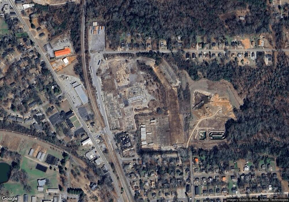
349 Railroad Ave Griffin, GA 30223
Spalding County NeighborhoodEstimated Value: $438,171
--
Bed
--
Bath
41,420
Sq Ft
$11/Sq Ft
Est. Value
About This Home
This home is located at 349 Railroad Ave, Griffin, GA 30223 and is currently priced at $438,171, approximately $10 per square foot. 349 Railroad Ave is a home located in Spalding County with nearby schools including Atkinson Elementary School, Cowan Road Middle School, and Griffin High School.
Ownership History
Date
Name
Owned For
Owner Type
Purchase Details
Closed on
Feb 16, 2024
Sold by
Nexgen Opportunity Fund Inc
Bought by
Mill Js Act Llc
Current Estimated Value
Purchase Details
Closed on
Oct 4, 2019
Sold by
Springs Global Us Inc
Bought by
Nexgen Opportunity Fund Inc
Purchase Details
Closed on
Dec 3, 2009
Sold by
Springs Global Us Inc
Bought by
Spalding Cnty Water & Sewerave
Purchase Details
Closed on
Aug 31, 1966
Sold by
Lowell Bleachery
Bought by
Dundee Mills Inc
Create a Home Valuation Report for This Property
The Home Valuation Report is an in-depth analysis detailing your home's value as well as a comparison with similar homes in the area
Home Values in the Area
Average Home Value in this Area
Purchase History
| Date | Buyer | Sale Price | Title Company |
|---|---|---|---|
| Mill Js Act Llc | $295,000 | -- | |
| Nexgen Opportunity Fund Inc | $350,000 | -- | |
| Spalding Cnty Water & Sewerave | -- | -- | |
| Dundee Mills Inc | -- | -- |
Source: Public Records
Tax History Compared to Growth
Tax History
| Year | Tax Paid | Tax Assessment Tax Assessment Total Assessment is a certain percentage of the fair market value that is determined by local assessors to be the total taxable value of land and additions on the property. | Land | Improvement |
|---|---|---|---|---|
| 2024 | $9,948 | $278,087 | $67,968 | $210,119 |
| 2023 | $9,948 | $262,762 | $67,968 | $194,794 |
| 2022 | $9,429 | $259,306 | $67,968 | $191,338 |
| 2021 | $7,729 | $212,563 | $67,968 | $144,595 |
| 2020 | $4,700 | $258,563 | $67,968 | $190,595 |
| 2019 | $9,317 | $250,307 | $59,712 | $190,595 |
| 2018 | $9,564 | $250,307 | $59,712 | $190,595 |
| 2017 | $9,305 | $250,307 | $59,712 | $190,595 |
| 2016 | $9,472 | $250,307 | $59,712 | $190,595 |
| 2015 | $9,755 | $250,307 | $59,712 | $190,595 |
| 2014 | $13,064 | $328,646 | $59,712 | $268,934 |
Source: Public Records
Map
Nearby Homes
- 121 Peachtree St
- 65 Elm St
- 1391 Experiment St Unit 12
- 1391 Experiment St
- 2 Cedar Ave
- 221 Bleachery St
- 113 Elm St
- 115 Elm St
- 1429 Beatty St
- 1315 Greenbriar Dr
- 1464 Beatty St
- 150 Crystal Brook
- 602 Melrose Ave
- 105 Wedgewood Walk
- 153 Crystal Brook Unit 2
- 9 E Mcintosh Rd
- 110 Wedgewood Walk
- 164 Crystal Brook
- 10 E Mcintosh Rd
- 116 Crystal Brook
- 217 Railroad Ave
- 194 Cheatham St
- 196 Cheatham St
- 0 Cheatham St Unit 7023964
- 0 Cheatham St
- 215 Railroad Ave
- 0 Railroad St Unit 7092378
- 111 Poplar St
- 198 Cheatham St
- 1325 Experiment St
- 153 Poplar St
- 1337 Experiment St
- 220 Nuttall Dr
- 241 Nuttall Dr
- 215 Nuttall Dr
- 213 Nuttall Dr
- 222 Nuttall Dr
- 218 Nuttall Dr
- 217 Nuttall Dr
- 206 Nuttall Dr
