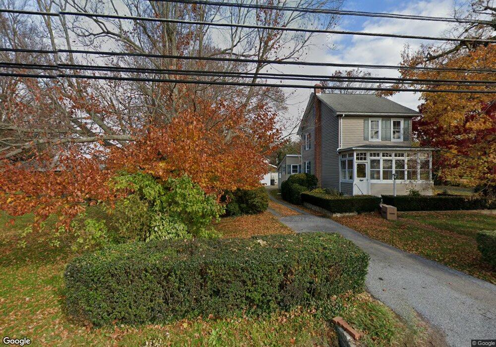
349 Ridge Rd Spring City, PA 19475
East Vincent Township NeighborhoodEstimated Value: $345,758 - $507,000
2
Beds
1
Bath
1,444
Sq Ft
$303/Sq Ft
Est. Value
About This Home
This home is located at 349 Ridge Rd, Spring City, PA 19475 and is currently estimated at $438,190, approximately $303 per square foot. 349 Ridge Rd is a home located in Chester County with nearby schools including East Vincent Elementary School, Owen J Roberts Middle School, and Owen J Roberts High School.
Ownership History
Date
Name
Owned For
Owner Type
Purchase Details
Closed on
Aug 23, 2011
Sold by
Deevy Joseph P and Estate Of John J Deevy
Bought by
Deevy James D
Current Estimated Value
Home Financials for this Owner
Home Financials are based on the most recent Mortgage that was taken out on this home.
Original Mortgage
$125,000
Interest Rate
4.53%
Mortgage Type
New Conventional
Create a Home Valuation Report for This Property
The Home Valuation Report is an in-depth analysis detailing your home's value as well as a comparison with similar homes in the area
Home Values in the Area
Average Home Value in this Area
Purchase History
| Date | Buyer | Sale Price | Title Company |
|---|---|---|---|
| Deevy James D | $175,000 | None Available |
Source: Public Records
Mortgage History
| Date | Status | Borrower | Loan Amount |
|---|---|---|---|
| Closed | Deevy James D | $125,000 |
Source: Public Records
Tax History Compared to Growth
Tax History
| Year | Tax Paid | Tax Assessment Tax Assessment Total Assessment is a certain percentage of the fair market value that is determined by local assessors to be the total taxable value of land and additions on the property. | Land | Improvement |
|---|---|---|---|---|
| 2025 | $3,322 | $80,870 | $28,160 | $52,710 |
| 2024 | $3,322 | $80,870 | $28,160 | $52,710 |
| 2023 | $3,274 | $80,870 | $28,160 | $52,710 |
| 2022 | $3,220 | $80,870 | $28,160 | $52,710 |
| 2021 | $3,165 | $80,870 | $28,160 | $52,710 |
| 2020 | $3,083 | $80,870 | $28,160 | $52,710 |
| 2019 | $3,025 | $80,870 | $28,160 | $52,710 |
| 2018 | $2,990 | $80,870 | $28,160 | $52,710 |
| 2017 | $2,919 | $80,870 | $28,160 | $52,710 |
| 2016 | $2,490 | $80,870 | $28,160 | $52,710 |
| 2015 | $2,490 | $80,870 | $28,160 | $52,710 |
| 2014 | $2,490 | $80,870 | $28,160 | $52,710 |
Source: Public Records
Map
Nearby Homes
- 104 Badalamenti Dr
- 818 Graphite Dr
- 826 Graphite Dr
- 675 W Seven Stars Rd
- 723 Saylors Mill Rd
- 1112 W Bridge St
- 618 Hoffman Blvd
- 621 Hoffman Blvd
- 25 Hastings Ln
- 109 Alackness Rd
- 120 Alackness Rd
- 26 Kolb Rd
- 212 Hill Church Rd
- 95 Clover Hill Ln
- 891 Brown Dr
- 422 Emerald Ct
- 10 Ashwood Dr
- 865 Cypress Ave
- 841 Cypress Ave
- 857 Buttonwood Ave