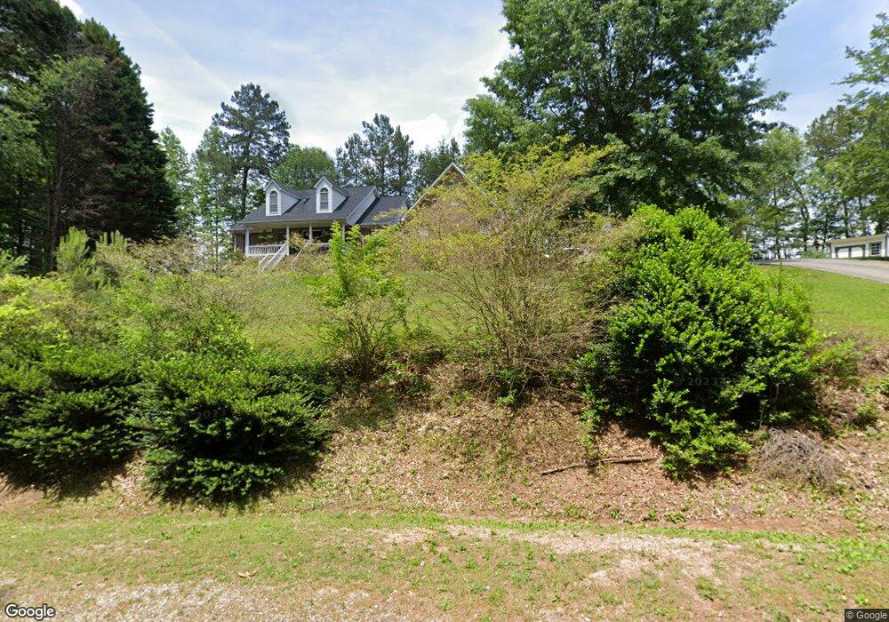
349 Robin Cir Toccoa, GA 30577
Estimated Value: $367,000 - $486,000
3
Beds
3
Baths
2,716
Sq Ft
$152/Sq Ft
Est. Value
About This Home
This home is located at 349 Robin Cir, Toccoa, GA 30577 and is currently estimated at $412,568, approximately $151 per square foot. 349 Robin Cir is a home located in Stephens County with nearby schools including Stephens County High School.
Ownership History
Date
Name
Owned For
Owner Type
Purchase Details
Closed on
Jun 14, 2002
Bought by
Stroud Kimberly M and Jeffery Scott
Current Estimated Value
Purchase Details
Closed on
Sep 1, 1997
Bought by
<Buyer Info Not Present>
Purchase Details
Closed on
Jun 1, 1996
Bought by
<Buyer Info Not Present>
Purchase Details
Closed on
Dec 1, 1992
Bought by
<Buyer Info Not Present>
Create a Home Valuation Report for This Property
The Home Valuation Report is an in-depth analysis detailing your home's value as well as a comparison with similar homes in the area
Purchase History
| Date | Buyer | Sale Price | Title Company |
|---|---|---|---|
| Stroud Kimberly M | $205,000 | -- | |
| <Buyer Info Not Present> | -- | -- | |
| <Buyer Info Not Present> | $12,000 | -- | |
| <Buyer Info Not Present> | -- | -- |
Source: Public Records
Tax History
| Year | Tax Paid | Tax Assessment Tax Assessment Total Assessment is a certain percentage of the fair market value that is determined by local assessors to be the total taxable value of land and additions on the property. | Land | Improvement |
|---|---|---|---|---|
| 2025 | $3,415 | $151,327 | $8,699 | $142,628 |
| 2024 | $3,054 | $102,305 | $8,699 | $93,606 |
| 2023 | $2,781 | $95,420 | $8,699 | $86,721 |
| 2022 | $2,659 | $91,331 | $8,699 | $82,632 |
| 2021 | $2,590 | $84,825 | $8,699 | $76,126 |
| 2020 | $2,613 | $84,731 | $8,699 | $76,032 |
| 2019 | $2,393 | $77,459 | $8,699 | $68,760 |
| 2018 | $2,393 | $77,459 | $8,699 | $68,760 |
| 2017 | $2,431 | $77,459 | $8,699 | $68,760 |
| 2016 | $2,393 | $77,459 | $8,699 | $68,760 |
| 2015 | $2,506 | $77,459 | $8,699 | $68,760 |
| 2014 | $2,548 | $77,459 | $8,699 | $68,760 |
| 2013 | -- | $77,459 | $8,699 | $68,760 |
Source: Public Records
Map
Nearby Homes
- 1292 Fernside Dr
- 0 Brookhaven Cir Unit 10616964
- 337 Rock Creek Rd
- 81 Boulder Dr
- 297 Ayers Creek Dr
- 327 Ayers Creek Dr
- 668 Brookdale Rd
- 110 Valley Rd
- 0 E Currahee St Unit 10544607
- 43 Sycamore Dr
- 156 White Pine Rd
- 104-110 White Pine Rd
- 321 Quail Forest Cir
- 148 Moreland Dr
- 0 Stephen Dr Unit 10710969
- 0 Stephen Dr Unit 10710891
- 208 Cherry St
- 28 Memorial Dr
- 122 King St
- 551 P S Rd
- 0 Raven Ct Lakeland Unit LT 5M 3067566
- 365 Robin Cir
- 369 Robin Cir
- 309 Robin Cir
- 439 Robin Cir
- 77 Beaver Brook Cir
- 214 Beaver Brook Dr
- 207 Foothill Rd
- 256 Beaver Brook Dr
- 629 Oak Valley Rd
- 319 Oak Valley Rd
- 264 Beaver Brook Dr
- 88 Foxdale Cir
- 62-64 Pageland Dr
- 97 Foxdale Cir
- 62 Pageland Dr Unit 9UNITS
- 62 Pageland Dr
- 286 Beaver Brook Dr
- 104 Beaver Brook Dr
- 35 Robin Cir
Your Personal Tour Guide
Ask me questions while you tour the home.