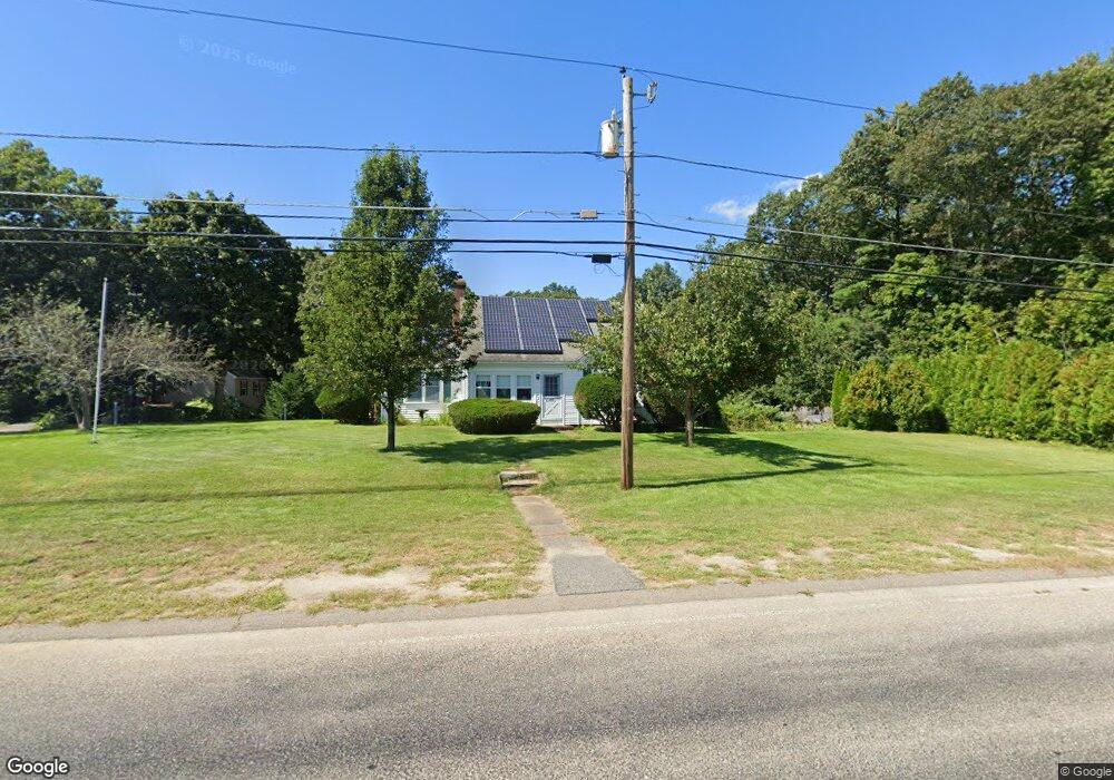
349 Shears St Wrentham, MA 02093
Estimated Value: $526,000 - $637,000
4
Beds
2
Baths
1,804
Sq Ft
$330/Sq Ft
Est. Value
About This Home
This home is located at 349 Shears St, Wrentham, MA 02093 and is currently estimated at $595,929, approximately $330 per square foot. 349 Shears St is a home located in Norfolk County with nearby schools including Delaney Elementary School and Charles E Roderick.
Ownership History
Date
Name
Owned For
Owner Type
Purchase Details
Closed on
May 21, 2025
Sold by
Ross Daniel R and Ross Ellen J
Bought by
Ross Ft and Ross
Current Estimated Value
Create a Home Valuation Report for This Property
The Home Valuation Report is an in-depth analysis detailing your home's value as well as a comparison with similar homes in the area
Purchase History
| Date | Buyer | Sale Price | Title Company |
|---|---|---|---|
| Ross Ft | -- | None Available | |
| Ross Ft | -- | None Available |
Source: Public Records
Tax History
| Year | Tax Paid | Tax Assessment Tax Assessment Total Assessment is a certain percentage of the fair market value that is determined by local assessors to be the total taxable value of land and additions on the property. | Land | Improvement |
|---|---|---|---|---|
| 2025 | $6,240 | $538,400 | $271,200 | $267,200 |
| 2024 | $5,978 | $498,200 | $271,200 | $227,000 |
| 2023 | $5,920 | $469,100 | $246,400 | $222,700 |
| 2022 | $5,192 | $379,800 | $196,000 | $183,800 |
| 2021 | $4,884 | $347,100 | $166,000 | $181,100 |
| 2020 | $4,541 | $318,700 | $137,400 | $181,300 |
| 2019 | $4,422 | $313,200 | $137,400 | $175,800 |
| 2018 | $4,262 | $299,300 | $137,500 | $161,800 |
| 2017 | $3,991 | $280,100 | $134,800 | $145,300 |
| 2016 | $3,820 | $267,500 | $130,900 | $136,600 |
| 2015 | $3,687 | $246,100 | $125,800 | $120,300 |
| 2014 | $3,630 | $237,100 | $121,000 | $116,100 |
Source: Public Records
Map
Nearby Homes
- 246 Forest Grove Ave
- 0 W Birch Rd
- 8 Ridgefield Rd
- 11 Weber Farm Rd Unit 11
- 8 Weber Farm Rd Unit 8
- 30 Weber Farm Rd Unit 30
- 576 Dedham St
- 11 Sharon Ave
- 9 Sharon Ave
- 45 Joshua Rd
- 287 Park St
- 50 Reed Fulton Ave Unit Lot 61
- 10 Nature View Dr
- 15 Nature View Dr
- 500 Franklin St
- 23 Fredrickson Rd
- 7 Hill St Unit 12
- 7 Hill St Unit 16
- 25 Foxboro Rd
- 75 Foxboro Rd
Your Personal Tour Guide
Ask me questions while you tour the home.