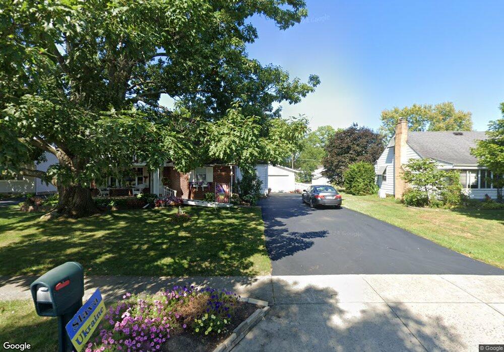
349 Tallman St Groveport, OH 43125
Estimated Value: $239,000 - $273,000
4
Beds
2
Baths
1,398
Sq Ft
$188/Sq Ft
Est. Value
About This Home
This home is located at 349 Tallman St, Groveport, OH 43125 and is currently estimated at $262,700, approximately $187 per square foot. 349 Tallman St is a home located in Franklin County with nearby schools including Groveport Madison High School, Groveport Community School, and Madison Christian School.
Ownership History
Date
Name
Owned For
Owner Type
Purchase Details
Closed on
Feb 27, 2009
Sold by
Stahl Richard Alan and Griffin Nancy Ann
Bought by
Irving Terry
Current Estimated Value
Home Financials for this Owner
Home Financials are based on the most recent Mortgage that was taken out on this home.
Original Mortgage
$122,550
Outstanding Balance
$77,966
Interest Rate
5.14%
Mortgage Type
Purchase Money Mortgage
Estimated Equity
$184,734
Purchase Details
Closed on
May 9, 2002
Sold by
Stahl Ruth V
Bought by
Stahl Ruth V and Stahl Richard Alan
Purchase Details
Closed on
Jul 31, 1964
Bought by
Stahl Richard D and Stahl Ruth
Create a Home Valuation Report for This Property
The Home Valuation Report is an in-depth analysis detailing your home's value as well as a comparison with similar homes in the area
Home Values in the Area
Average Home Value in this Area
Purchase History
| Date | Buyer | Sale Price | Title Company |
|---|---|---|---|
| Irving Terry | $129,000 | Title First | |
| Stahl Ruth V | -- | -- | |
| Stahl Richard D | -- | -- |
Source: Public Records
Mortgage History
| Date | Status | Borrower | Loan Amount |
|---|---|---|---|
| Open | Irving Terry | $122,550 |
Source: Public Records
Tax History Compared to Growth
Tax History
| Year | Tax Paid | Tax Assessment Tax Assessment Total Assessment is a certain percentage of the fair market value that is determined by local assessors to be the total taxable value of land and additions on the property. | Land | Improvement |
|---|---|---|---|---|
| 2024 | $3,631 | $84,040 | $26,810 | $57,230 |
| 2023 | $3,629 | $84,040 | $26,810 | $57,230 |
| 2022 | $2,821 | $55,170 | $11,030 | $44,140 |
| 2021 | $2,831 | $55,170 | $11,030 | $44,140 |
| 2020 | $2,838 | $55,170 | $11,030 | $44,140 |
| 2019 | $2,559 | $45,650 | $9,210 | $36,440 |
| 2018 | $2,537 | $45,650 | $9,210 | $36,440 |
| 2017 | $2,528 | $45,650 | $9,210 | $36,440 |
| 2016 | $2,478 | $40,950 | $8,890 | $32,060 |
| 2015 | $2,500 | $40,950 | $8,890 | $32,060 |
| 2014 | $2,353 | $40,950 | $8,890 | $32,060 |
| 2013 | $1,070 | $43,085 | $9,345 | $33,740 |
Source: Public Records
Map
Nearby Homes