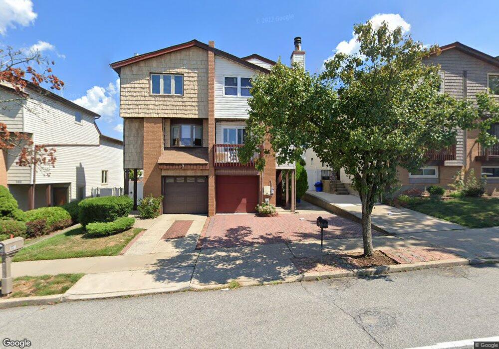
349 Travis Ave Staten Island, NY 10314
New Springville NeighborhoodEstimated Value: $635,845 - $763,000
--
Bed
4
Baths
1,271
Sq Ft
$559/Sq Ft
Est. Value
About This Home
This home is located at 349 Travis Ave, Staten Island, NY 10314 and is currently estimated at $709,961, approximately $558 per square foot. 349 Travis Ave is a home located in Richmond County with nearby schools including P.S. 69 - Daniel D. Tompkins, Is 72 Rocco Laurie, and Susan E Wagner High School.
Ownership History
Date
Name
Owned For
Owner Type
Purchase Details
Closed on
Mar 4, 2021
Sold by
Mak Paul Cheung Bor and Mak Cheung Bor
Bought by
Mak Paul Cheung Bor
Current Estimated Value
Home Financials for this Owner
Home Financials are based on the most recent Mortgage that was taken out on this home.
Original Mortgage
$400,000
Interest Rate
3.1%
Mortgage Type
New Conventional
Purchase Details
Closed on
Aug 31, 1995
Sold by
Mak Cheung Bor and Mak Loong Sheung
Bought by
Mak Cheung Bor and Mak Loong Sheung
Create a Home Valuation Report for This Property
The Home Valuation Report is an in-depth analysis detailing your home's value as well as a comparison with similar homes in the area
Home Values in the Area
Average Home Value in this Area
Purchase History
| Date | Buyer | Sale Price | Title Company |
|---|---|---|---|
| Mak Paul Cheung Bor | -- | Commonwealth Land Title | |
| Mak Cheung Bor | -- | -- |
Source: Public Records
Mortgage History
| Date | Status | Borrower | Loan Amount |
|---|---|---|---|
| Previous Owner | Mak Paul Cheung Bor | $400,000 |
Source: Public Records
Tax History Compared to Growth
Tax History
| Year | Tax Paid | Tax Assessment Tax Assessment Total Assessment is a certain percentage of the fair market value that is determined by local assessors to be the total taxable value of land and additions on the property. | Land | Improvement |
|---|---|---|---|---|
| 2025 | $5,862 | $44,220 | $6,050 | $38,170 |
| 2024 | $5,874 | $38,220 | $6,770 | $31,450 |
| 2023 | $5,729 | $29,608 | $6,383 | $23,225 |
| 2022 | $4,631 | $35,580 | $8,460 | $27,120 |
| 2021 | $5,243 | $35,400 | $8,460 | $26,940 |
| 2020 | $4,624 | $31,140 | $8,460 | $22,680 |
| 2019 | $4,381 | $31,980 | $8,460 | $23,520 |
| 2018 | $4,732 | $24,673 | $7,924 | $16,749 |
| 2017 | $4,445 | $23,277 | $7,814 | $15,463 |
| 2016 | $4,080 | $21,960 | $7,626 | $14,334 |
| 2015 | $3,771 | $21,960 | $6,549 | $15,411 |
| 2014 | $3,771 | $21,240 | $7,140 | $14,100 |
Source: Public Records
Map
Nearby Homes
- 343 Travis Ave
- 107 Denker Place
- 101 McVeigh Ave
- 507 Klondike Ave
- 181 McVeigh Ave
- 190 Monahan Ave
- 186 Monahan Ave
- 611 Klondike Ave
- 44 McVeigh Ave
- 45 Braisted Ave
- 143 Monahan Ave
- 60 Copley St
- 22 Braisted Ave
- 86 Evans St
- 11 Shirra Ave Unit A
- 8 Mcdivitt Ave Unit A
- 28A Mcdivitt Ave Unit 11
- 20 Sweetgum Ln
- 187 Keating Place
- 41 Furness Place
- 351 Travis Ave
- 347 Travis Ave
- 353 Travis Ave
- 345 Travis Ave
- 357 Travis Ave
- 339 Travis Ave
- 116 McVeigh Ave
- 112 McVeigh Ave
- 118 McVeigh Ave
- 110 McVeigh Ave
- 120 McVeigh Ave
- 337 Travis Ave
- 108 McVeigh Ave
- 122 McVeigh Ave
- 106 Denker Place
- 106 McVeigh Ave
- 335 Travis Ave
- 102 McVeigh Ave
- 108 Denker Place
- 100 McVeigh Ave