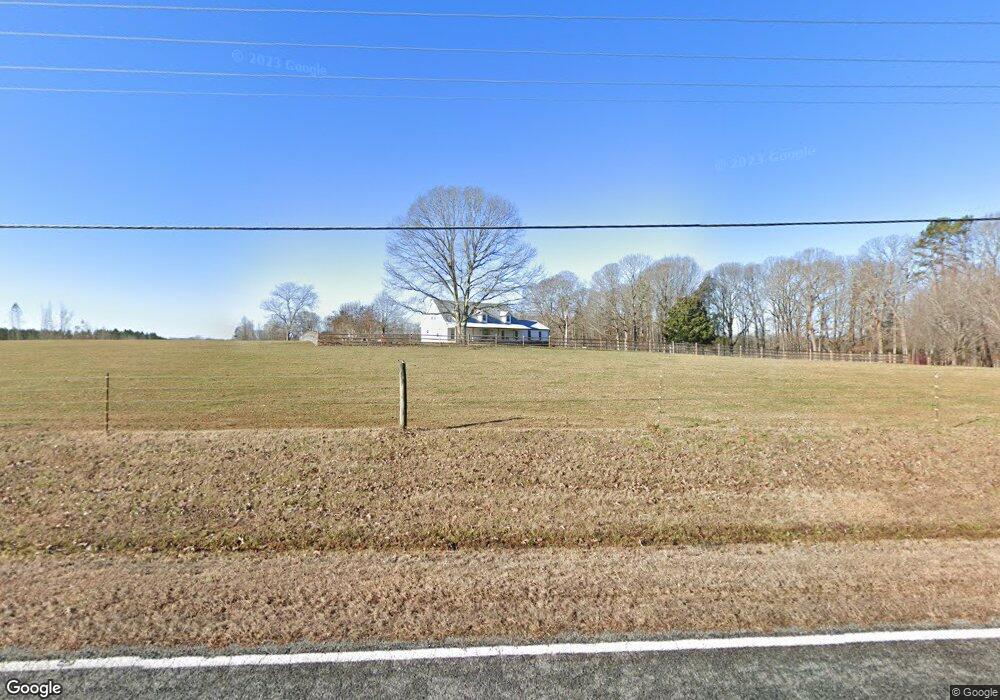
349 Upper Stanley Rd Stanley, NC 28164
Estimated Value: $280,000 - $510,000
3
Beds
2
Baths
2,226
Sq Ft
$178/Sq Ft
Est. Value
About This Home
This home is located at 349 Upper Stanley Rd, Stanley, NC 28164 and is currently estimated at $396,268, approximately $178 per square foot. 349 Upper Stanley Rd is a home with nearby schools including Springfield Primary School, Kiser Elementary School, and Stanley Middle School.
Ownership History
Date
Name
Owned For
Owner Type
Purchase Details
Closed on
Jul 10, 1998
Sold by
Gaul Mark S and Gaul Janice C
Bought by
Cloninger Jay T and Cloninger Linda R
Current Estimated Value
Home Financials for this Owner
Home Financials are based on the most recent Mortgage that was taken out on this home.
Original Mortgage
$135,000
Interest Rate
7.04%
Mortgage Type
Purchase Money Mortgage
Create a Home Valuation Report for This Property
The Home Valuation Report is an in-depth analysis detailing your home's value as well as a comparison with similar homes in the area
Home Values in the Area
Average Home Value in this Area
Purchase History
We collect this data history from publicly available records. To have your information removed, we recommend requesting removal directly through your county’s website.
| Date | Buyer | Sale Price | Title Company |
|---|---|---|---|
| Cloninger Jay T | $150,500 | -- |
Source: Public Records
Mortgage History
We collect this data history from publicly available records. To have your information removed, we recommend requesting removal directly through your county’s website.
| Date | Status | Borrower | Loan Amount |
|---|---|---|---|
| Closed | Cloninger Jay T | $135,000 |
Source: Public Records
Tax History
| Year | Tax Paid | Tax Assessment Tax Assessment Total Assessment is a certain percentage of the fair market value that is determined by local assessors to be the total taxable value of land and additions on the property. | Land | Improvement |
|---|---|---|---|---|
| 2025 | $2,508 | $401,480 | $80,900 | $320,580 |
| 2024 | $2,508 | $401,480 | $80,900 | $320,580 |
| 2023 | $2,441 | $401,480 | $80,900 | $320,580 |
| 2022 | $1,999 | $257,660 | $64,750 | $192,910 |
| 2021 | $2,018 | $257,660 | $64,750 | $192,910 |
| 2019 | $2,092 | $267,990 | $64,750 | $203,240 |
| 2018 | $1,512 | $156,634 | $23,555 | $133,079 |
| 2017 | $1,485 | $153,934 | $23,555 | $130,379 |
| 2016 | $1,478 | $153,934 | $0 | $0 |
| 2014 | $1,601 | $167,633 | $28,355 | $139,278 |
Source: Public Records
Map
Nearby Homes
- 516 Shady Oaks Dr
- 229 Oakridge Rd
- 213 Vicki Way
- 847 E Chestnut St
- 5154 Tommy Ln
- 5153 Tommy Ln Unit 1104
- 5141 Tommy Ln Unit 904
- 5136 Tommy Ln Unit 1205
- 5128 Tommy Ln Unit 1003
- 5119 Tommy Ln Unit 704
- 5117 Tommy Ln Unit 703
- 5115 Tommy Ln Unit 702
- 5113 Tommy Ln Unit 701
- 5109 Tommy Ln Unit 505
- 300 Taylor Rd
- 526 Mariposa Rd
- 503 N Mauney Ave
- 1335 Blacksnake Rd
- 1330 Blacksnake Rd
- 203 Willow St
- 350 Upper Stanley Rd
- 332 Upper Stanley Rd
- 310 Upper Stanley Rd
- 310 Upper Stanley Rd Unit 1
- 503 Shady Oaks Dr
- 293 Upper Stanley Rd
- 511 Shady Oaks Dr
- 521 Shady Oaks Dr
- 312 Upper Stanley Rd
- 372 Upper Stanley Rd
- 298 Upper Stanley Rd
- 525 Shady Oaks Dr
- 380 Upper Stanley Rd
- 289 Upper Stanley Rd
- 531 Shady Oaks Dr
- 510 Shady Oaks Dr
- 286 Upper Stanley Rd
- 516 Shady Oaks Dr Unit 11
- 283 Upper Stanley Rd
- 524 Shady Oaks Dr Unit Lot 13
Your Personal Tour Guide
Ask me questions while you tour the home.